| Advisory | If you arrived
here by any means other than from the
Index
of Impacts,
it is suggested that you start at the Introduction to gain an understanding of what follows. |
Kilimanjaro

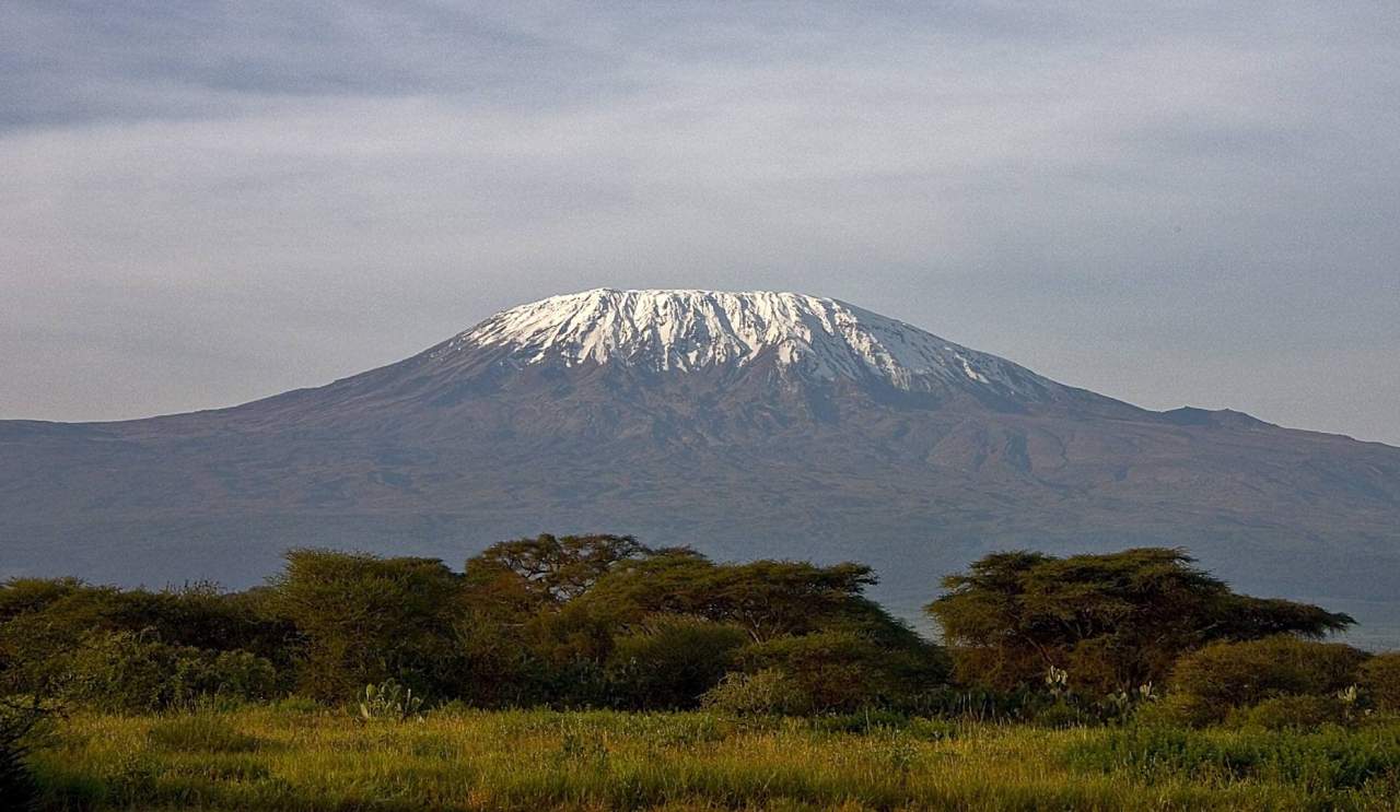
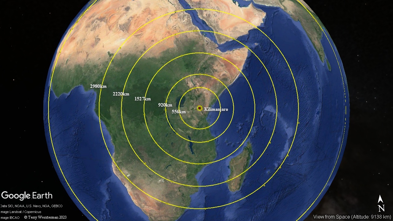
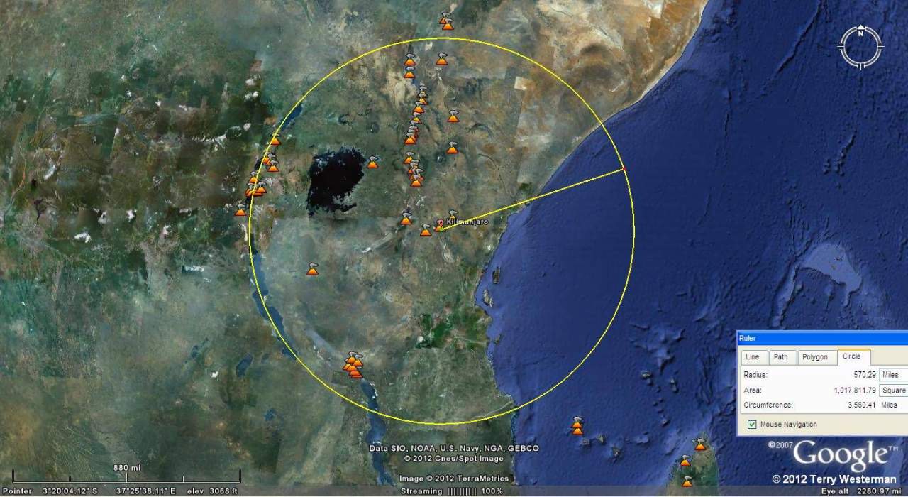
| Mount Kilimanjaro was caused by a meteor impact that punched a hole in the crust of the Earth, which then allowed the lava to flow and the mountain to form as a volcano. The evidence of this is in the series of concentric seismic circles around the mountain. These circles are the remains of the seismic waves that emanated from the impact. These seismic circles expanded over Africa, and the world and put form and location to many of the lakes, rivers and mountains. |

The kmz files for these circles are here
Kili59km
Kili556km
Kili920km
Kili1527km
Kili2220km
Kili2980km
Depending on your browser, the kmz file will either save to file, where
clicking on the file will open it in Google Earth, or it will open in
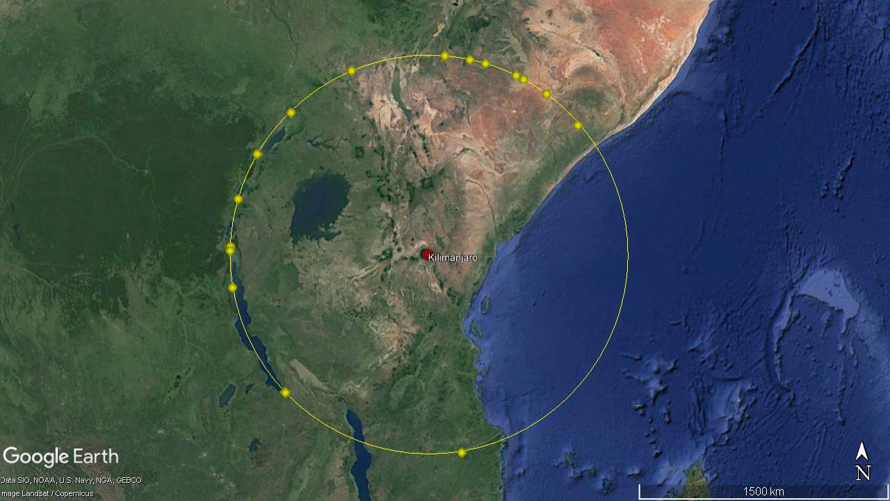
Google Earth directly. The kmz files focuse on the yellow dots that
show the most obvious geographic features that form the circle. There
may be others. In Google Earth you can examine these features in
detail, and perhaps others along the way.
Kili59km
Kili556km
Kili920km
Kili1527km
Kili2220km
Kili2980km


