Advisory
If you arrived here by any means other than from the Index of Impacts,
or the Ibro page,
it is suggested that you start at the Introduction to gain an understanding of what follows.
The Eye of the Sahara
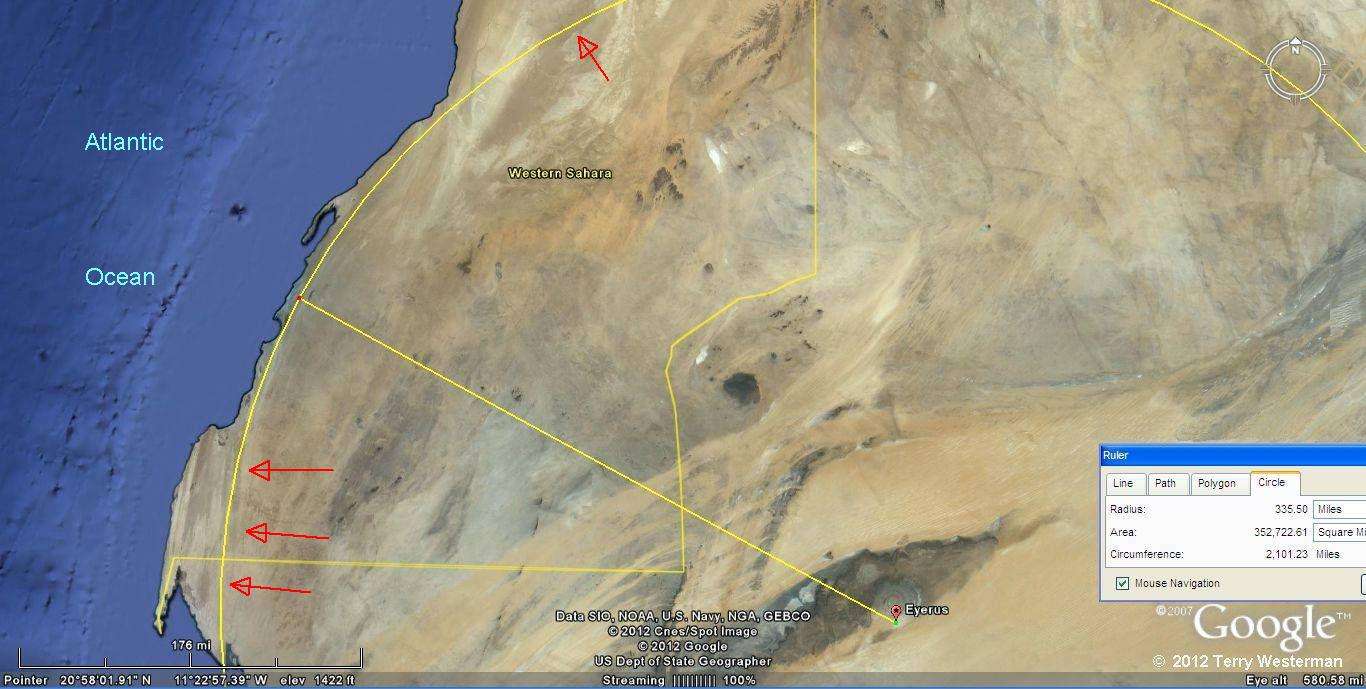
Africa
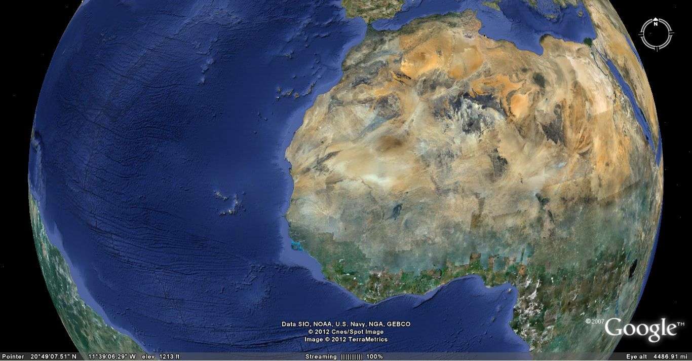
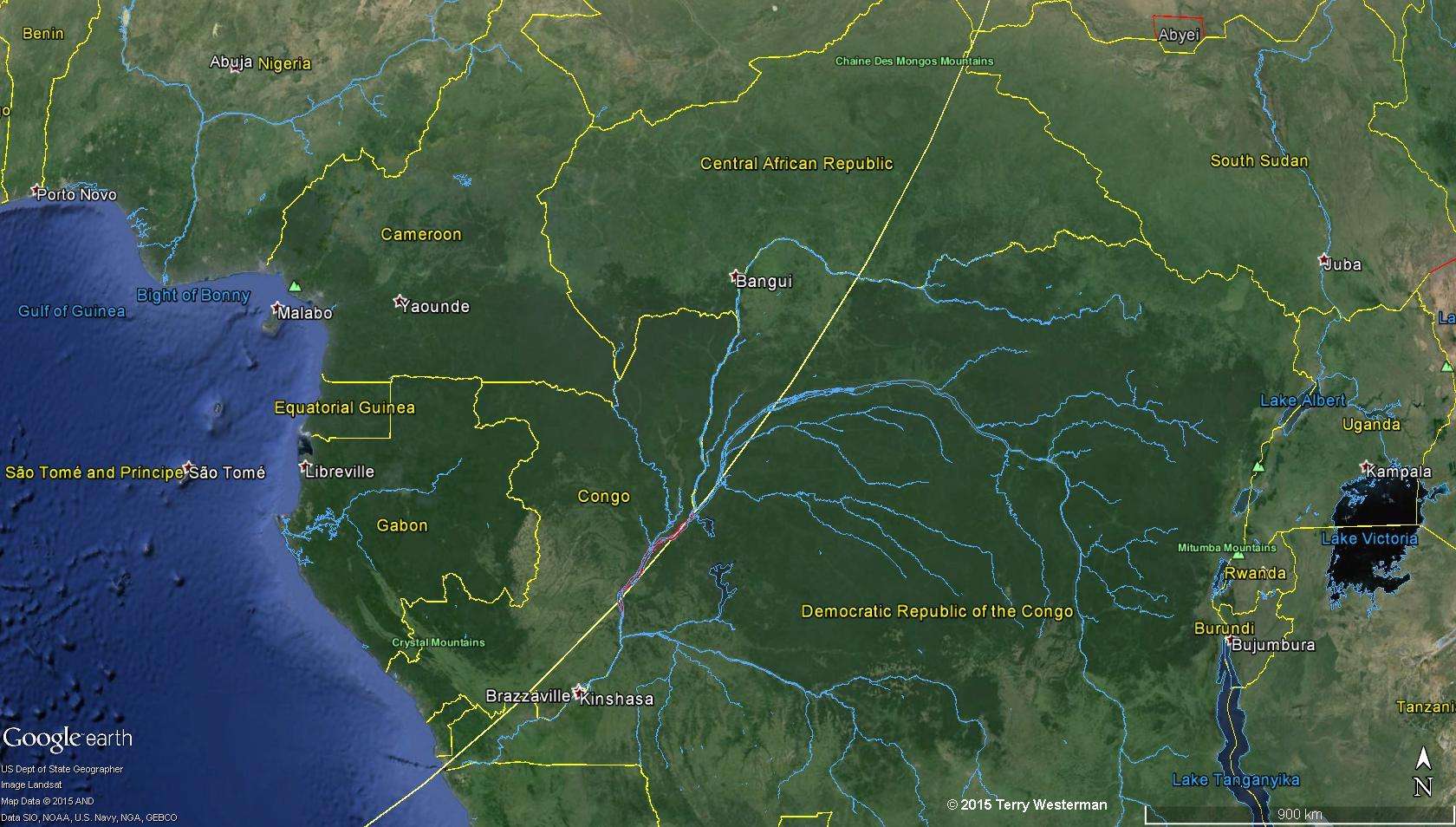
In West Africa...
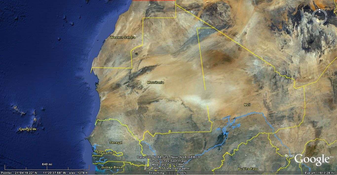
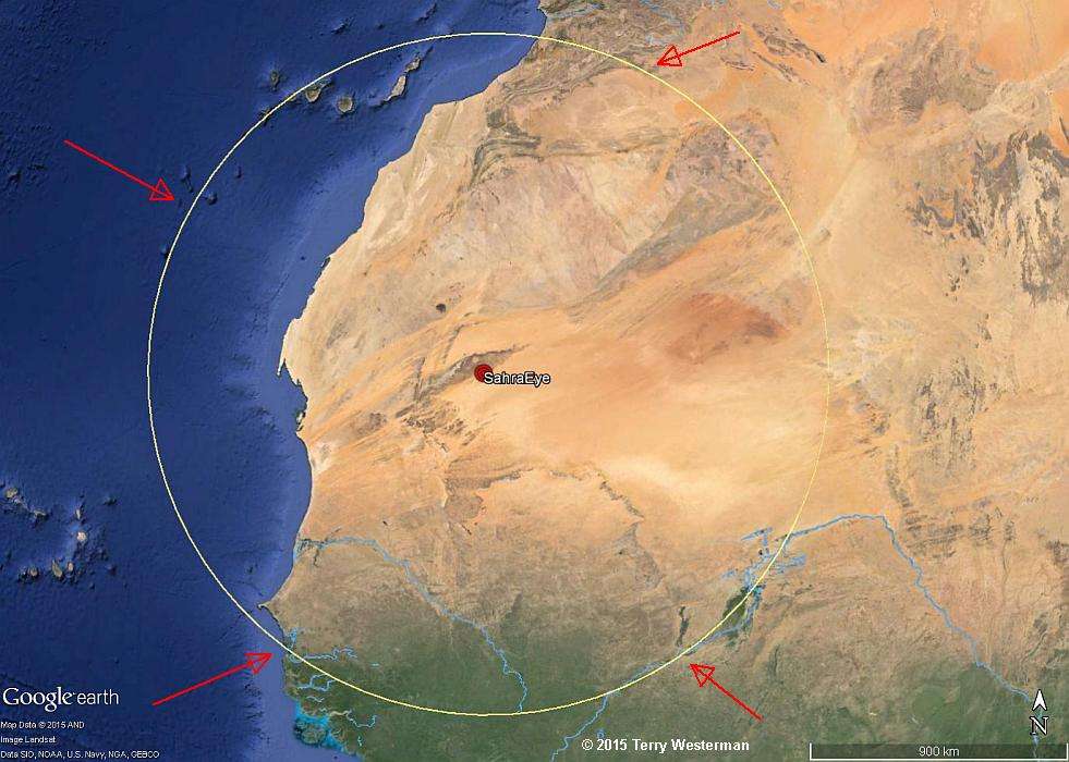
Particularly in the West African country of Mauritania....
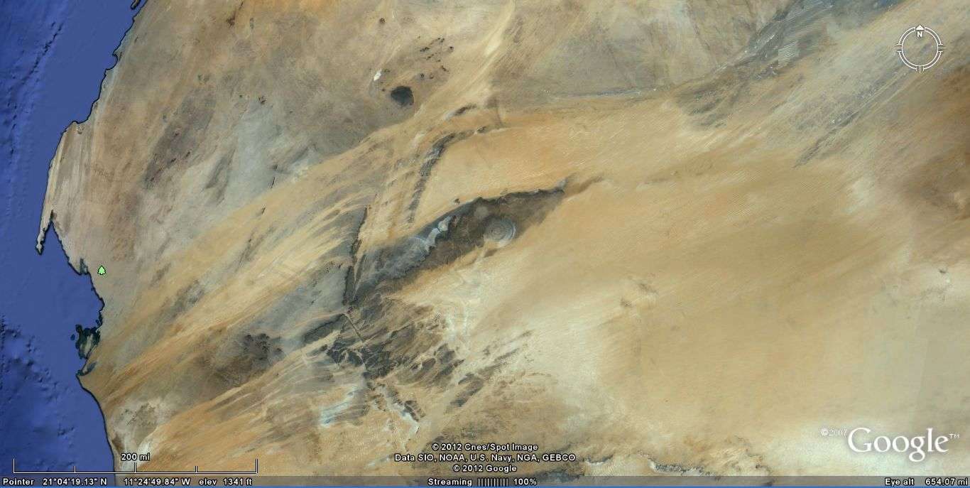
...is the Eye of the Sahara.
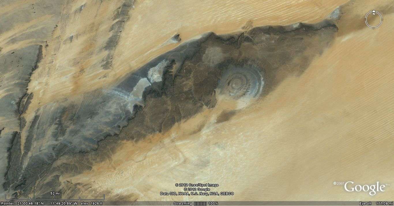
The Eye of the Sahara has
been watching the sky for millions of years.
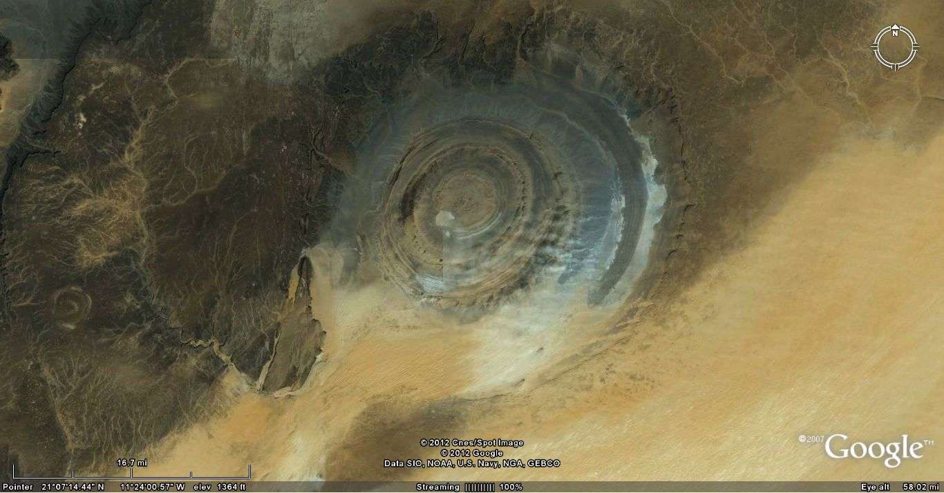
It is called The Richat Structure.
There are many theories about the origin of this structure. In fact this has all the markings of a high velocity asteroid impact. The center of impact is South of the center of the structure as marked below, such that the asteroid came in at a steep angle from the South. The impact had such energy that it liquified the area when it hit, causing the ripples to form, similar to dropping a rock into a bucket of water. This impact would have penetrated deeply, such that as the liquified material came back together, it formed the circles off center to the actual center of impact, perpendicular to gravity. This is similar to shooting a bullet at an angle into water. The bubbles that follow the bullet rise vertically, rather than following the angled path of the bullet. The formation here is not unlike the formation of the circles formed at mud pots found at geothermal areas such as Yellowstone and the Sultan Sea.
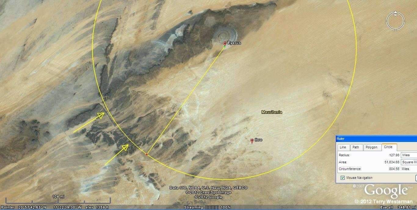
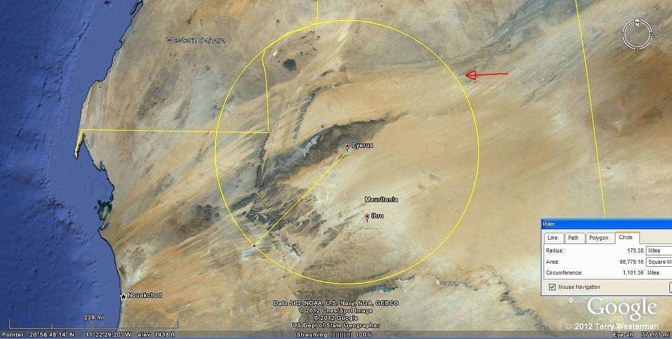
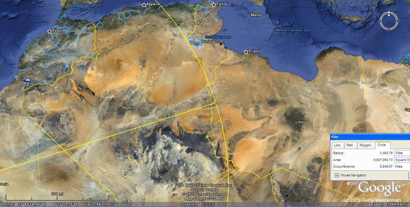
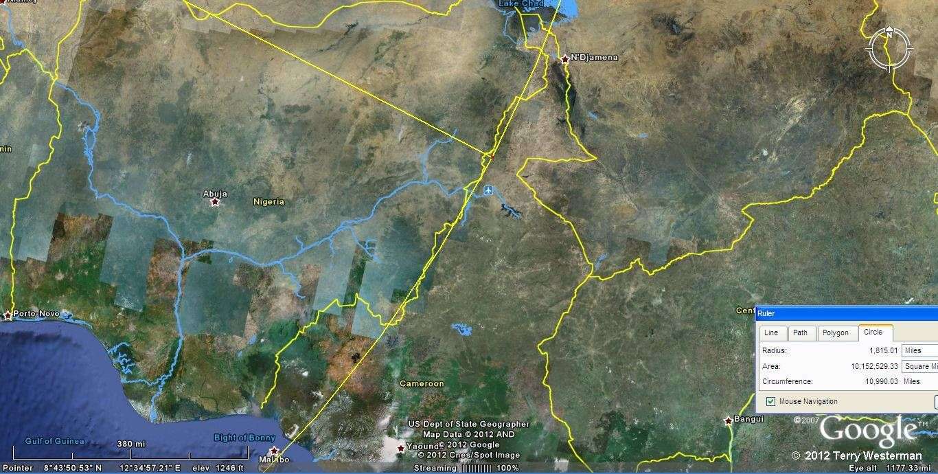
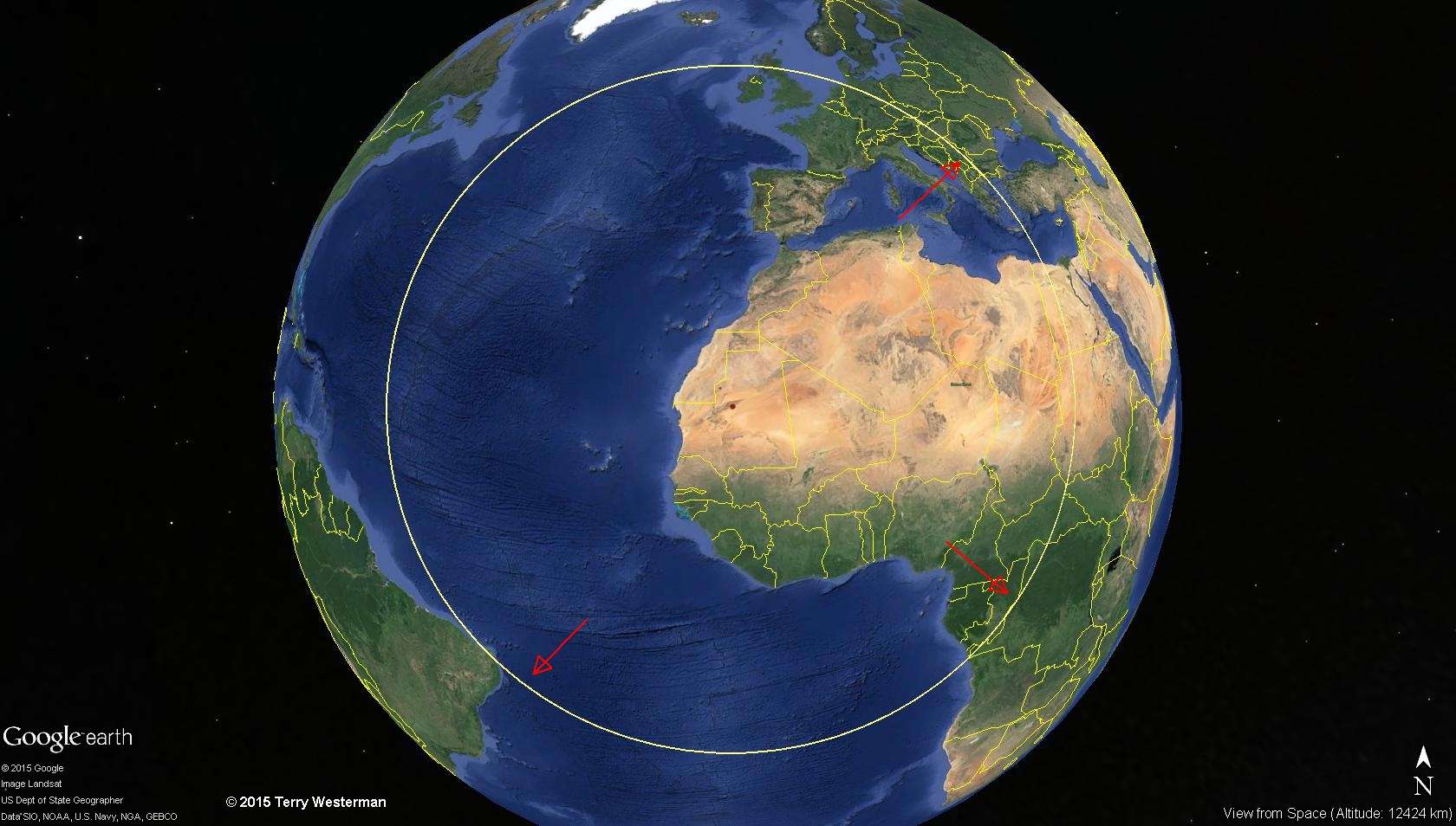
However, the entire structure is the result of two impacts. The smaller impact. the blue eye pictured above, we can call Eyerus. The larger structure we can call Ibro.
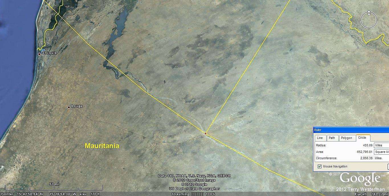
Ibro impacted 97 miles (155 km) to the South southeast of the Eyerus impact, and the large brown eyebrow of this structure is the rim of that impact.
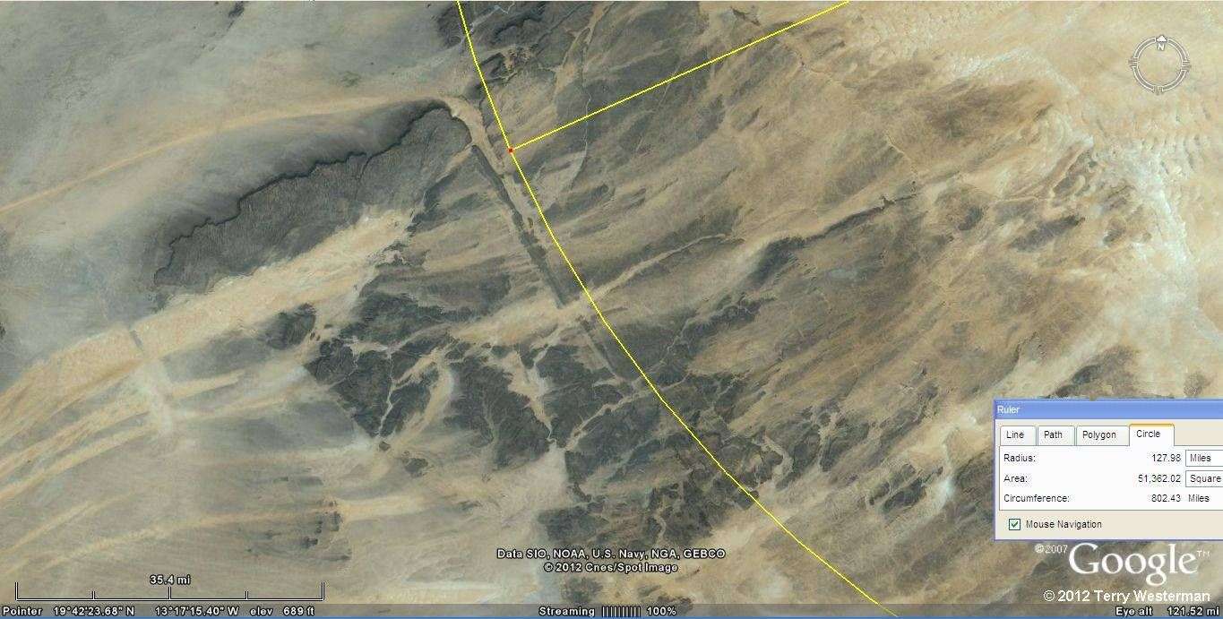
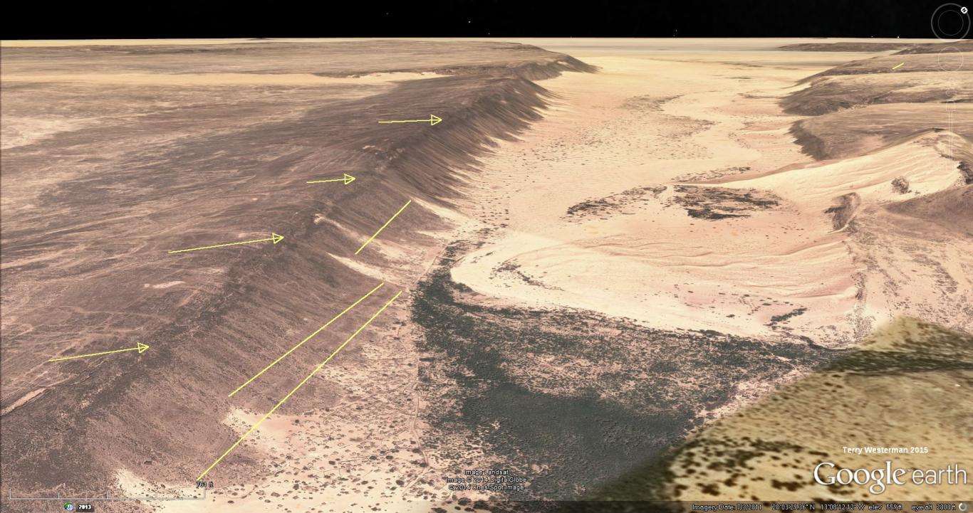
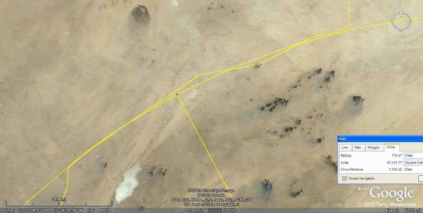
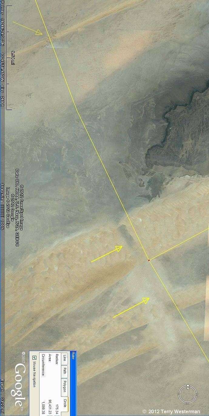
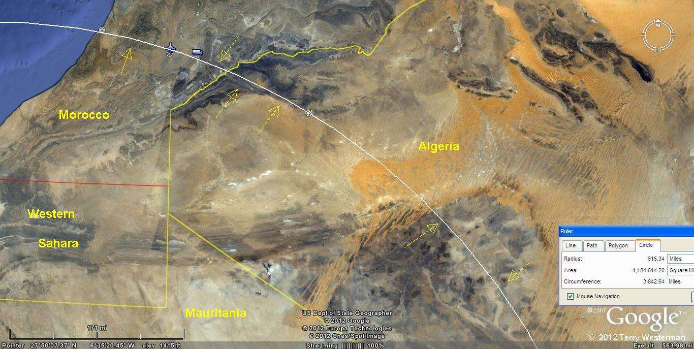
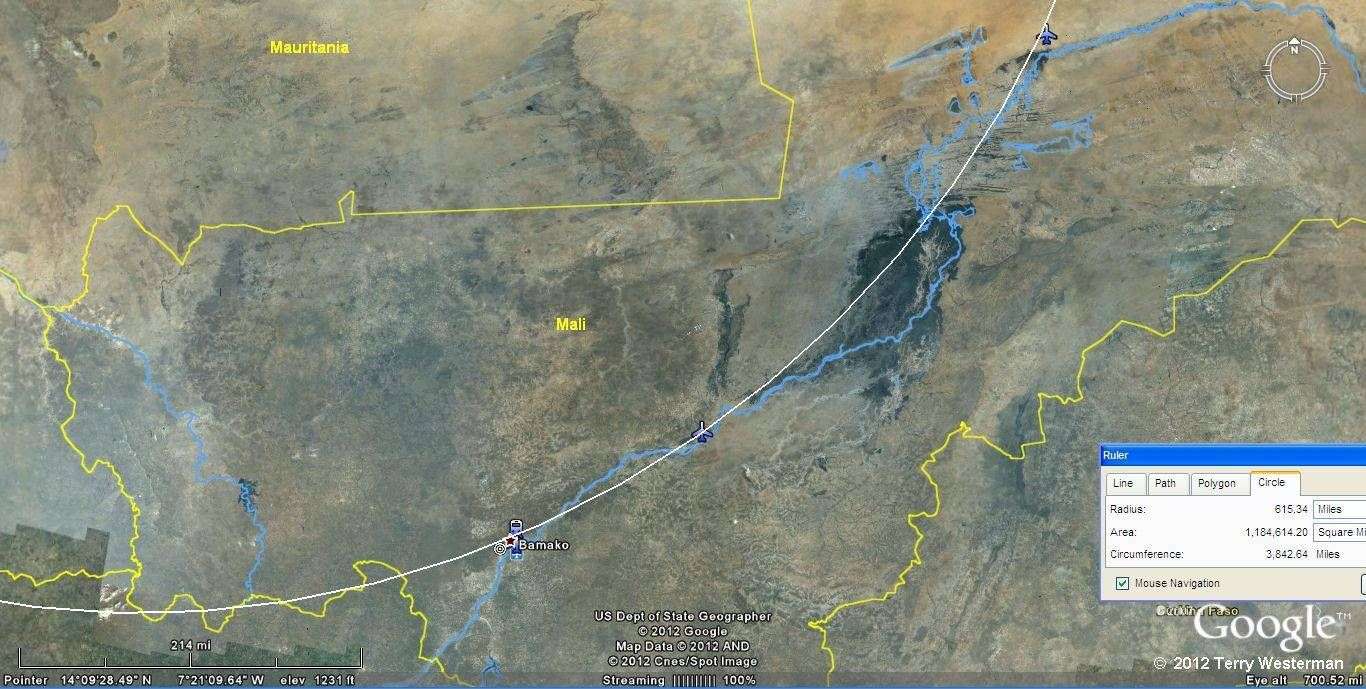
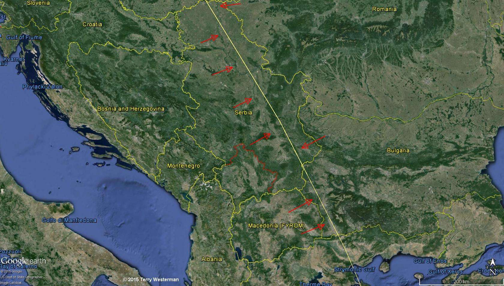
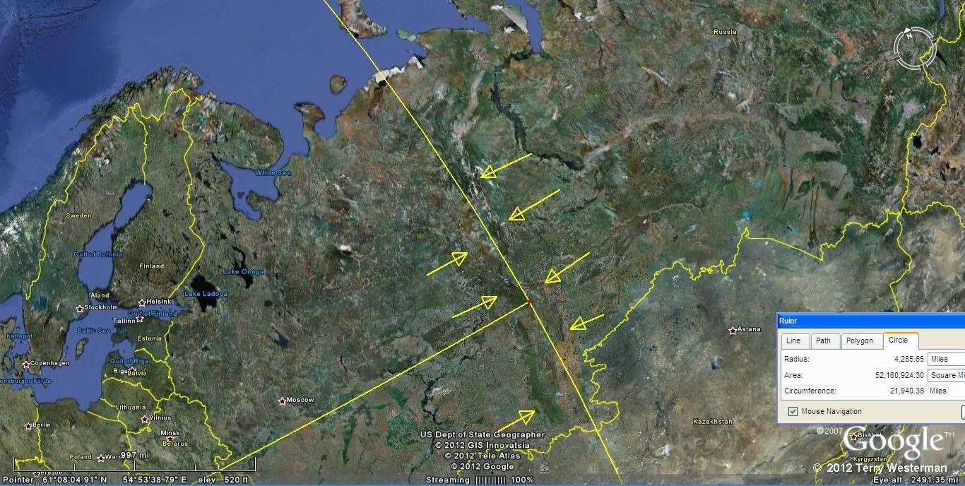
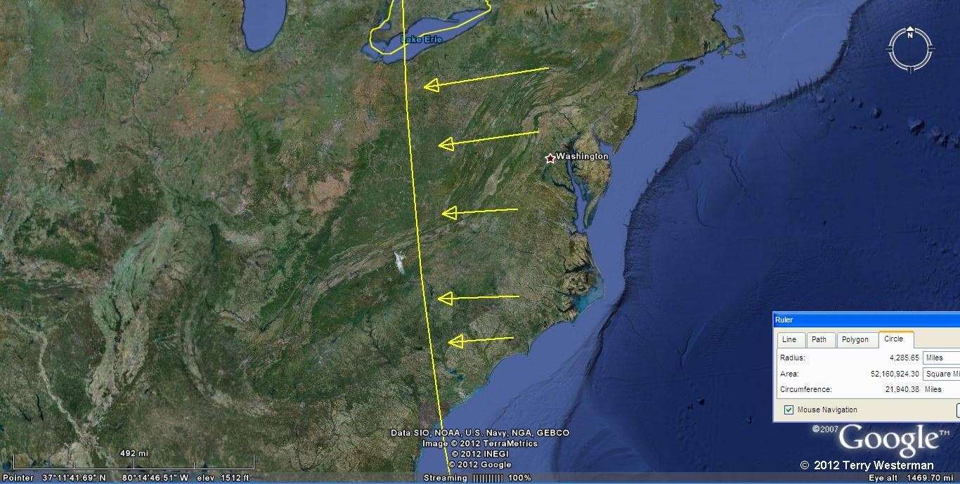
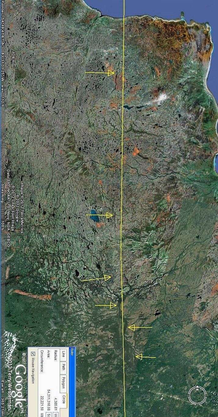
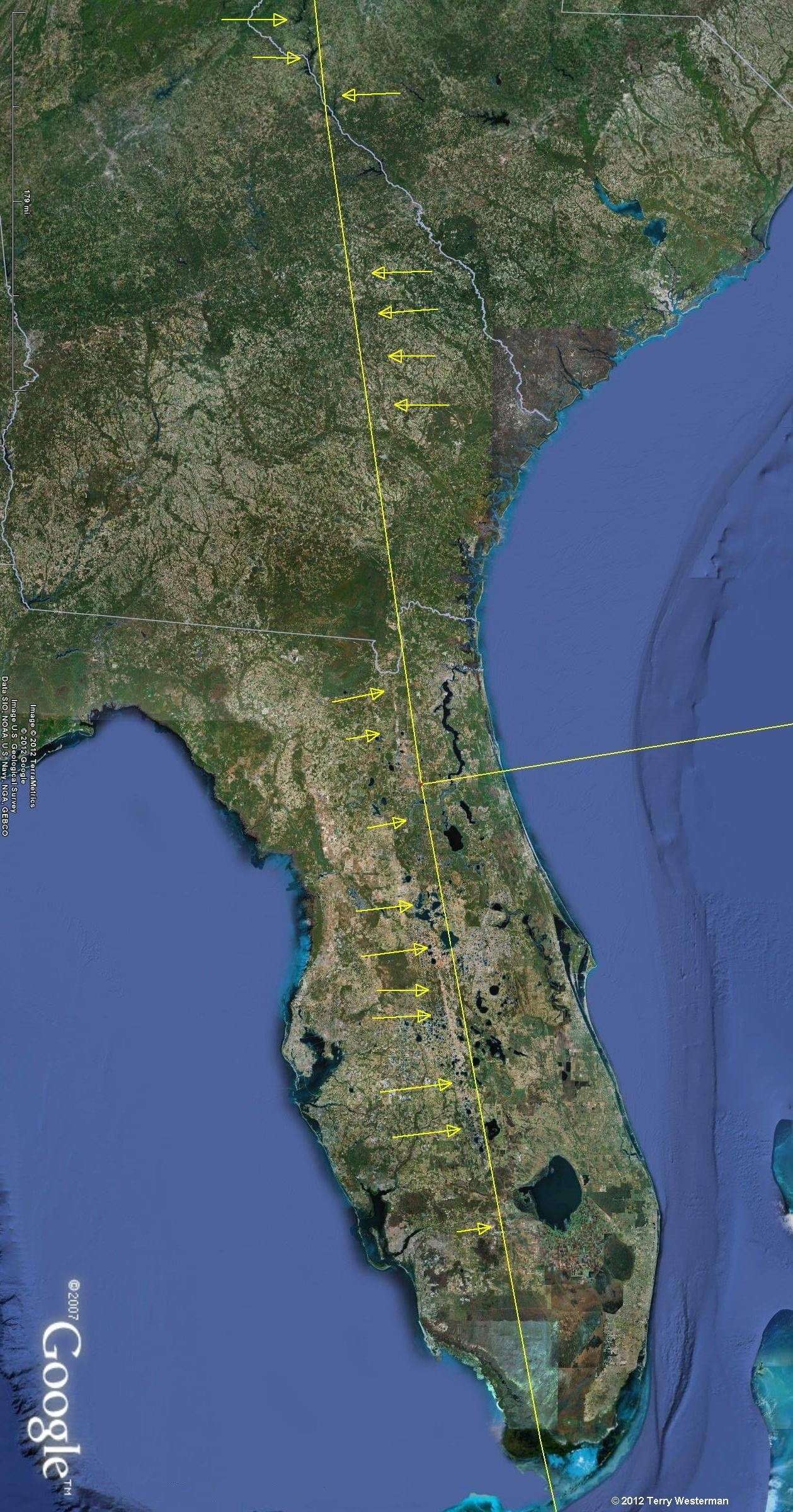
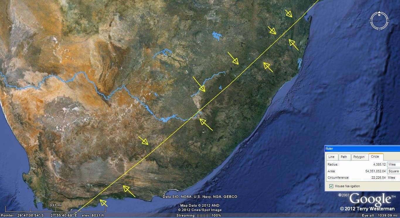
The proof of impact lies not so much in the center structure, but in the seismic circle alignments that were left by the impacts. The highlights of the seismic circles for Eyerus are described below.