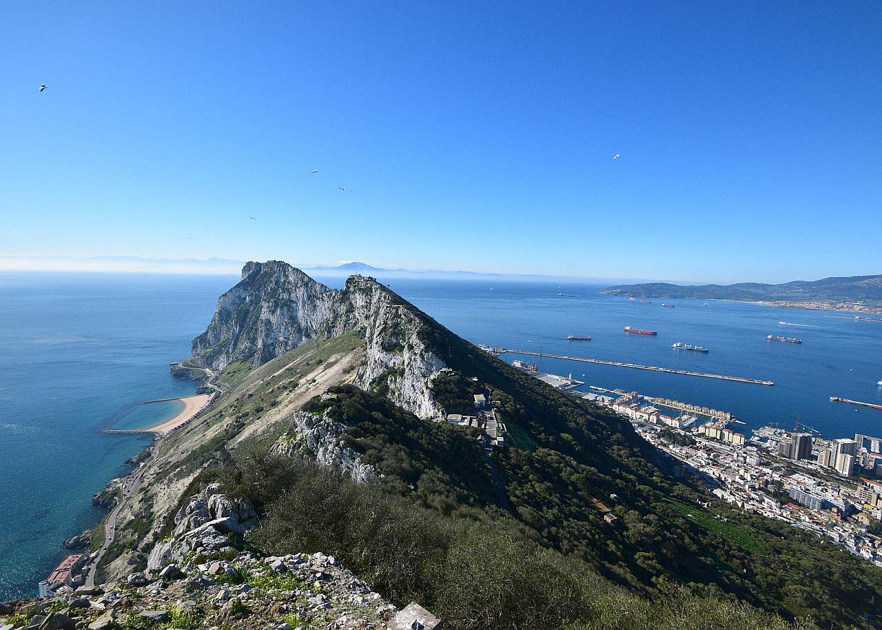
Advisory 
If you arrived here by any means other than from of the Index of Impacts,
it is suggested that you start at the Introduction to gain an understanding of what follows.


The Making of the Strait of Gibraltar

Gibraltar

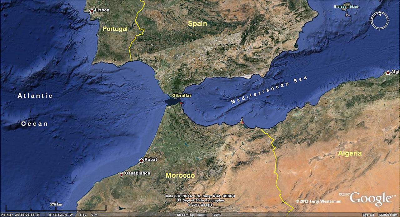
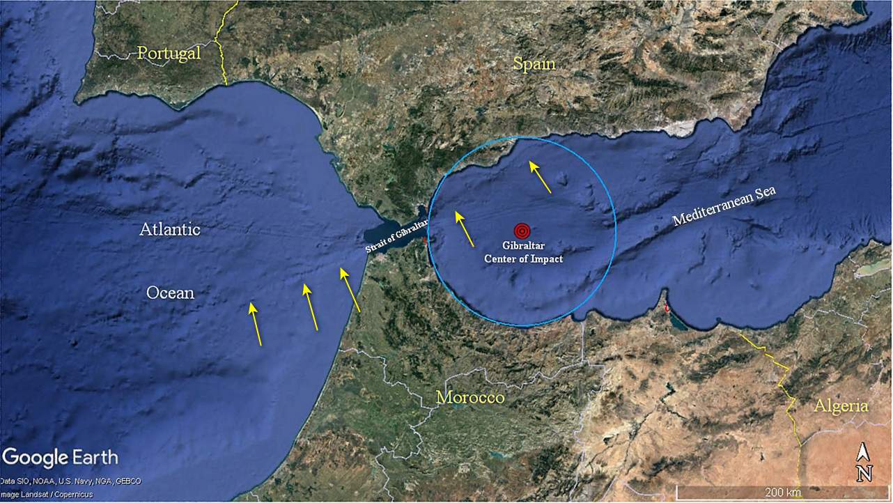
      The Strait of Gibraltar was formed by two meteor impacts. The first blasted the round area in the western Mediterranean Sea to form a land bridge between Spain and Morocco. This 'crater' can be easily seen in the image above as the circular land forms around the western end of the Mediterranean.


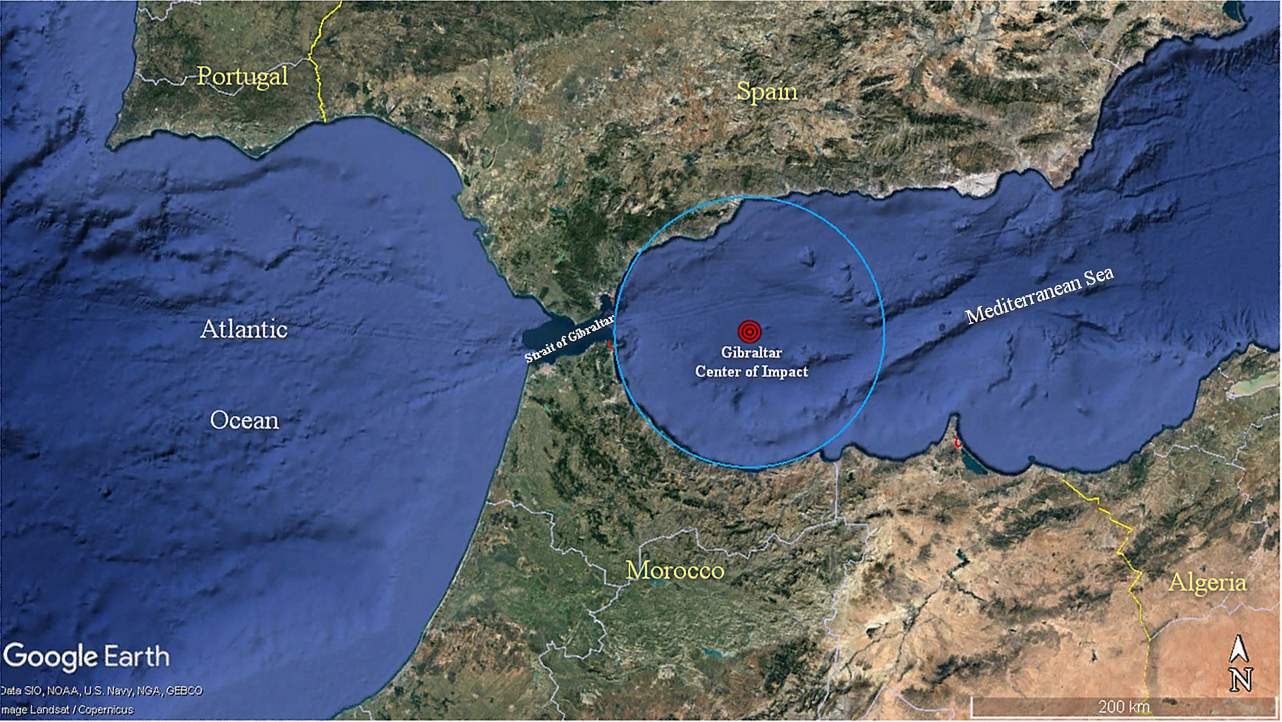
The 115 km radius circle. A movie (95K) shouing this circle is HERE. Or you can view the kmz file that will open in Googke Earth HERE.


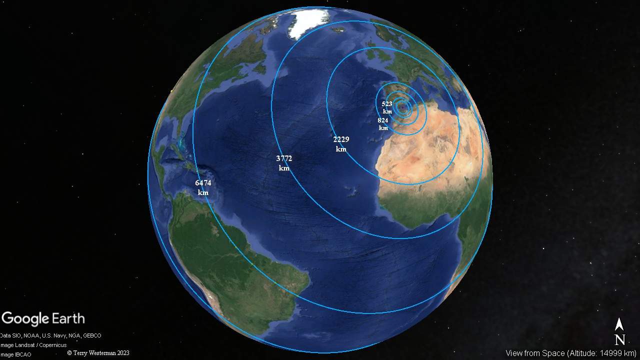
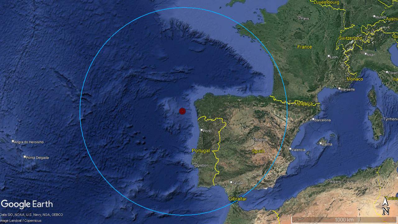
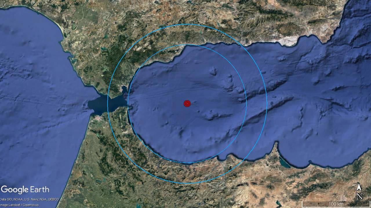
     The next five seismic circles are shown. The kmz files for these circles follow. These files will either open directly in Google Earth, or be saved as a a file, which will open into Google Earth. The file will show in the left column under Temporary Places. Clicking on the placemarks will take you on a tour of the main geographic formations that demonstrate that circle.

523km radius
824km radius
2229km radius
3772km radius
6474km radius

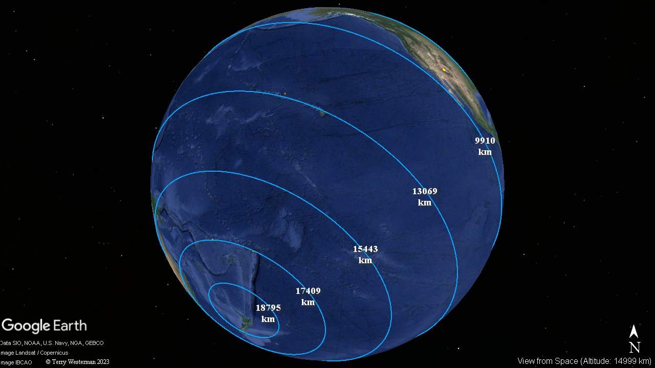
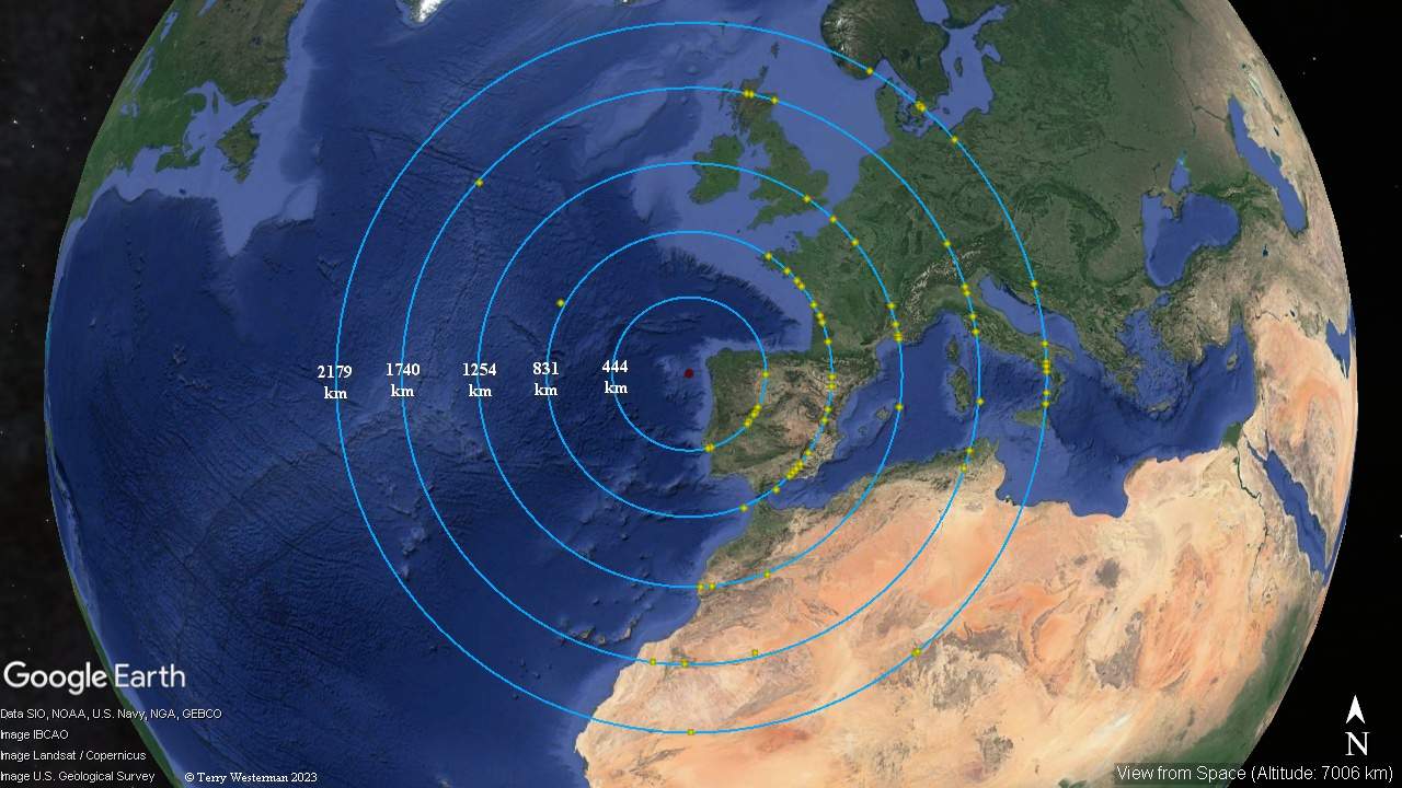
     The last five seismic circles are shown. The kmz files for these circles follow.
9910km radius
13069km radius
15443km radius
17409km radius
18795km radius


The Impact that Broke Gibraltar

      This image depicting the crater at about 170 kilometers in diameter. It also shows by the yellow arrows, a line that passes through the Strait of Gibraltar. It appears that this was the seismic wave that cracked the land bridge sufficiently to cause the water to flow from the Atlantic Ocean and into the Mediterraneab Sea. This water flow would have easily eroded the crack made by the seismic event to widen it to what we have today.

     The meteor impact that caused this seismic shock wave is located off the north coast of Spain and is further depicted below.


The impact that broke Gibraltar hit 800 kilometers to the North northwest off the North coast of Spain.  That seismic wave traveled 800 kilometers to break the land bridge between Spain and Morocco, allowing the Atlantic Ocean to flow through to the Mediterranean Sea. This formed the Strait of Gibraltar. This event was know as the Zanclean flood, and happened about 5.33 million years ago.        The kmz file for this seismic circle is HERE.

The first five most prominant seismic circles from The Impact that Broke Gibraltar. The kmzs for these circles are below.
444km radius
831km radius
1254km radius
1740km radius
2179km radius

Are there more?


Comments, information, discussion, e-mail me here:
twest@geoledgers.org


© 2013, 2015, 2023 Terry Westerman