Dinamita, A Meteor Crater

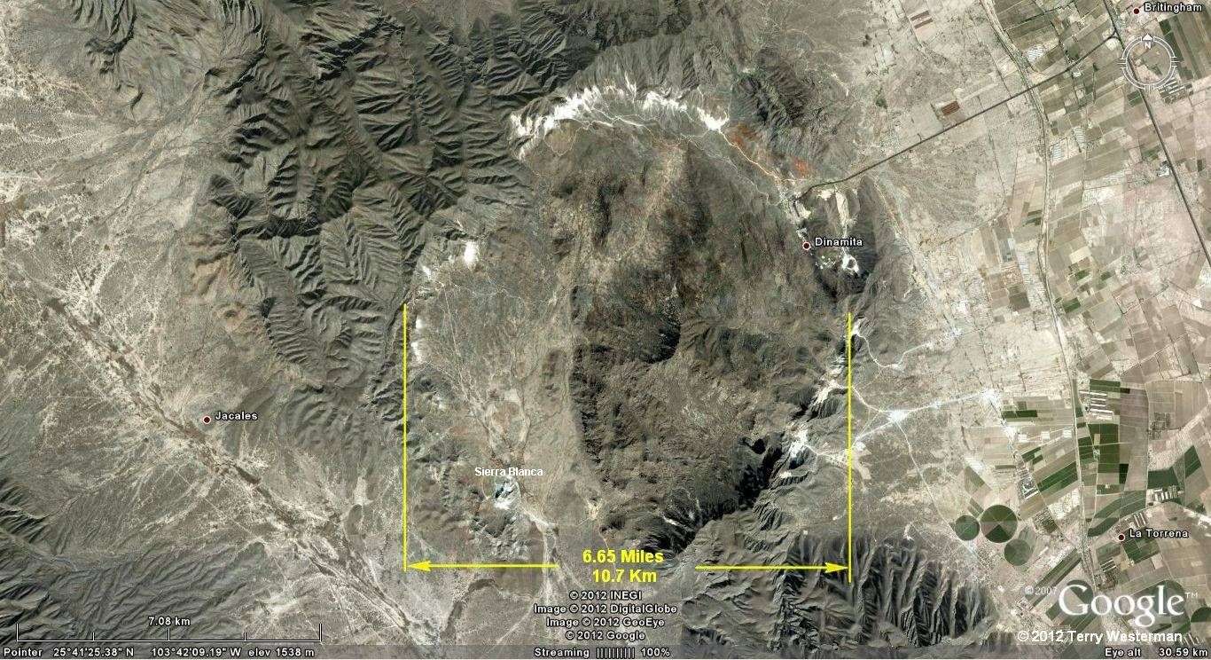
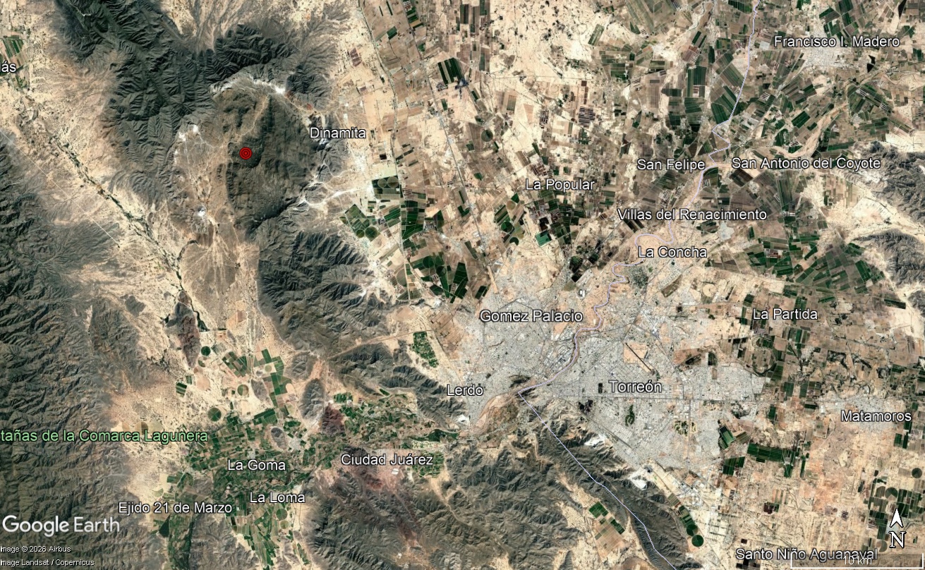
A meteor impact crater about 20 kilometers Northwest of Torreon, Durango, Mexico. The structure is perhaps 10.7 kilometers (6.65 miles) in diameter.

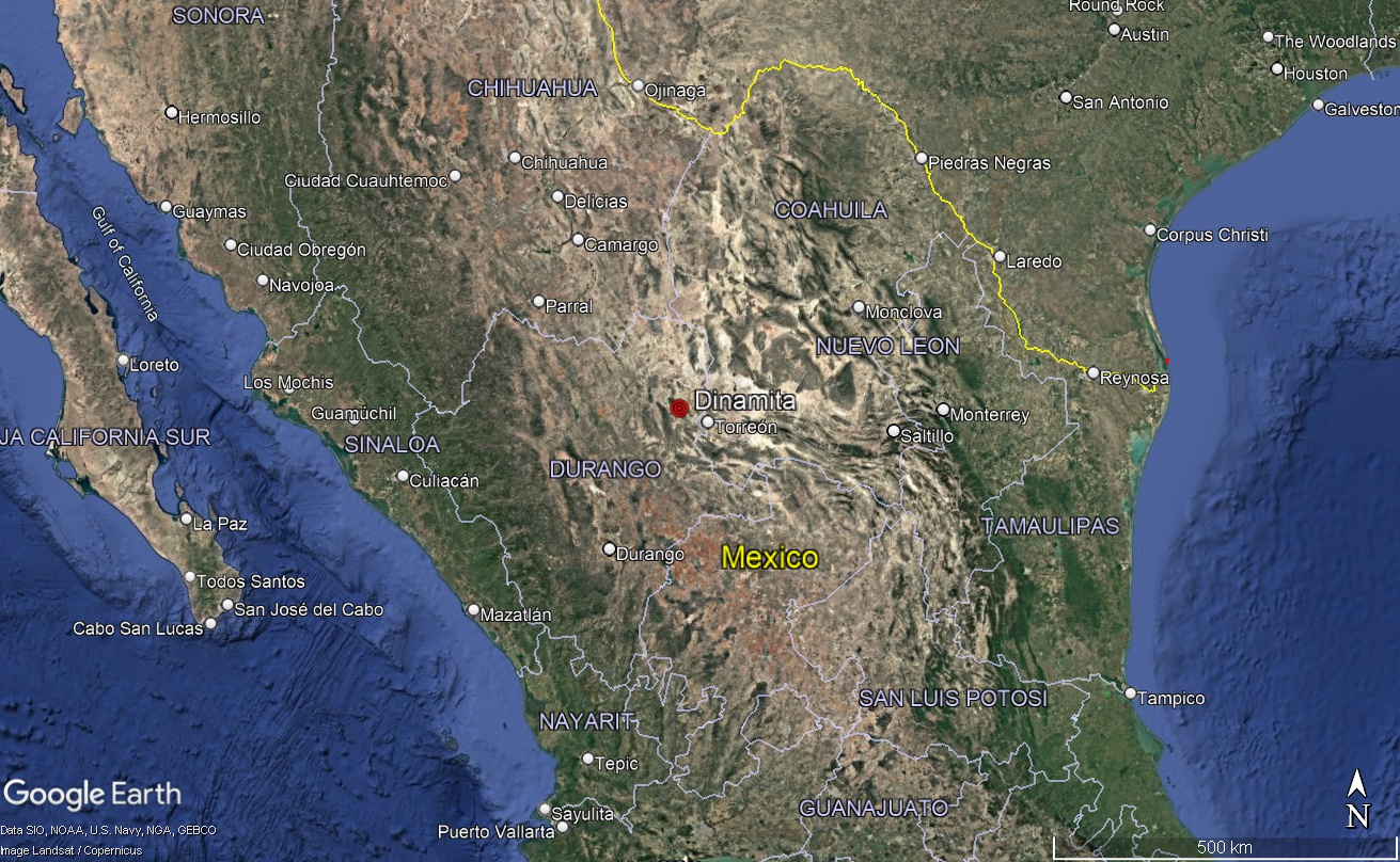
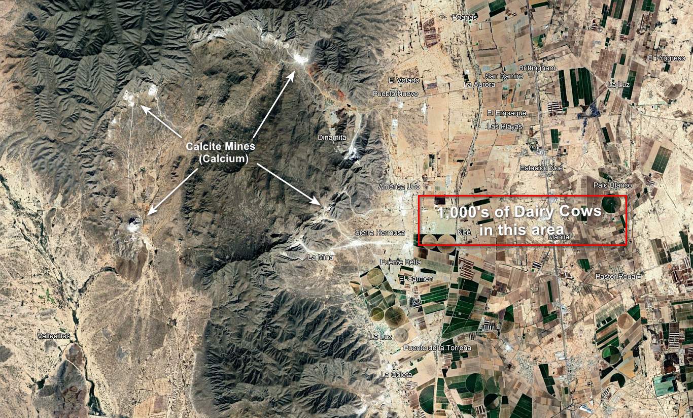
Thr maps shows the location of the impact crater Northeast of Torreon, in Durango State, Mexico.


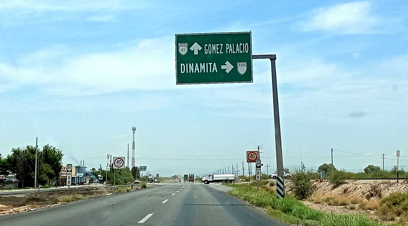
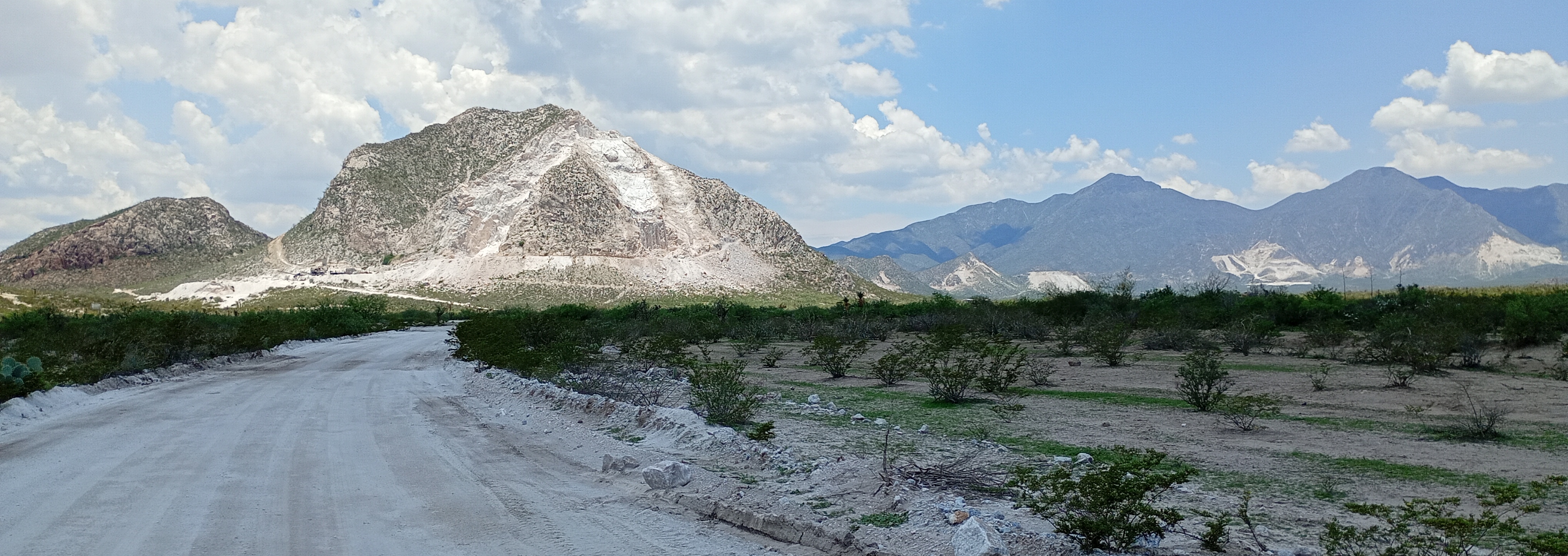
On the road south at the Dinamita intersection.


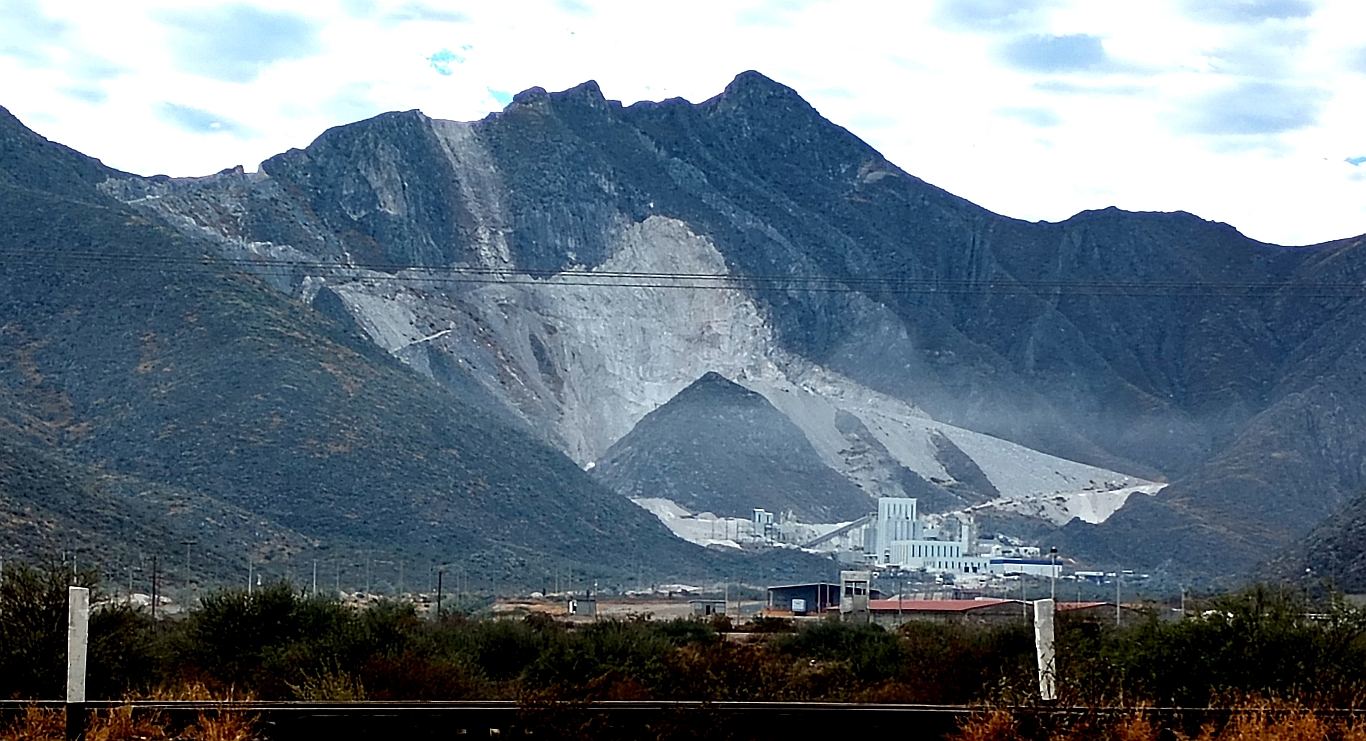
The plant at Dinamita where the rocks from the mines are turned to powder for cement and many other uses.


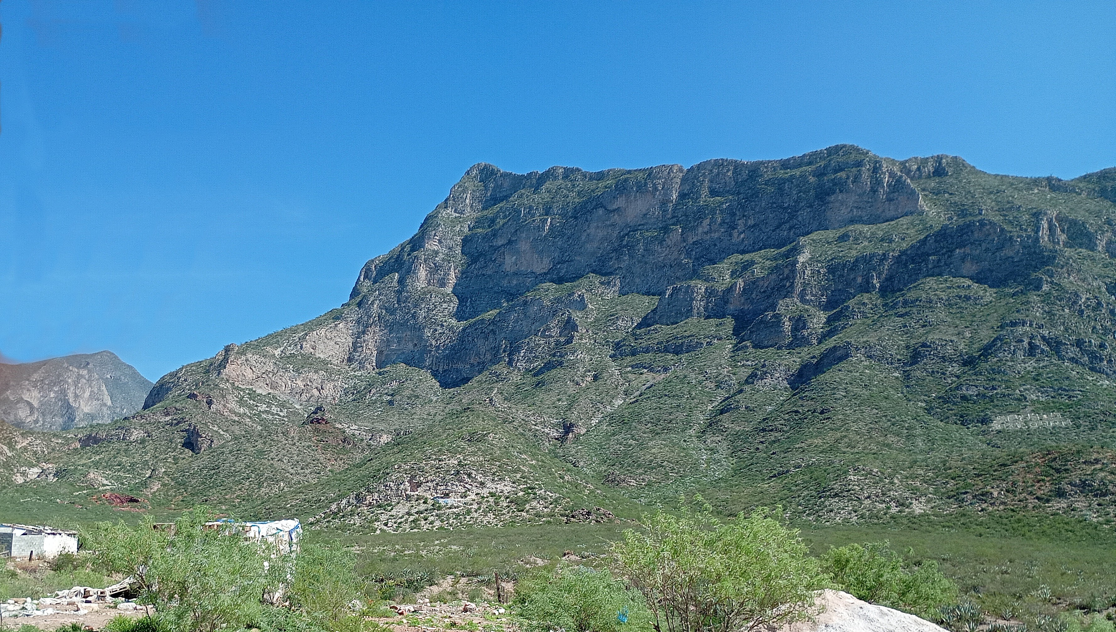
Entering from the Northeast, these are the mountains that form the northeast rim of the crater. Climbing these cliffs would be great exercise, and the goal would be a fantastic view.


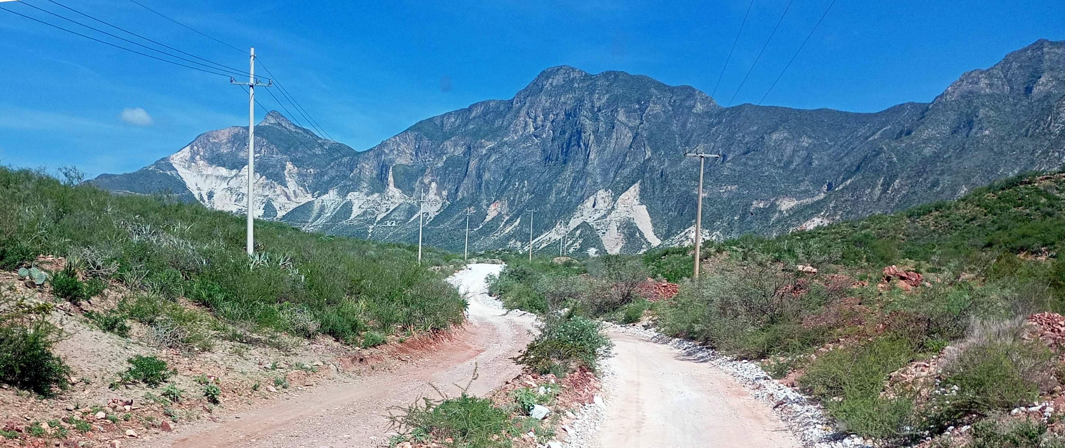
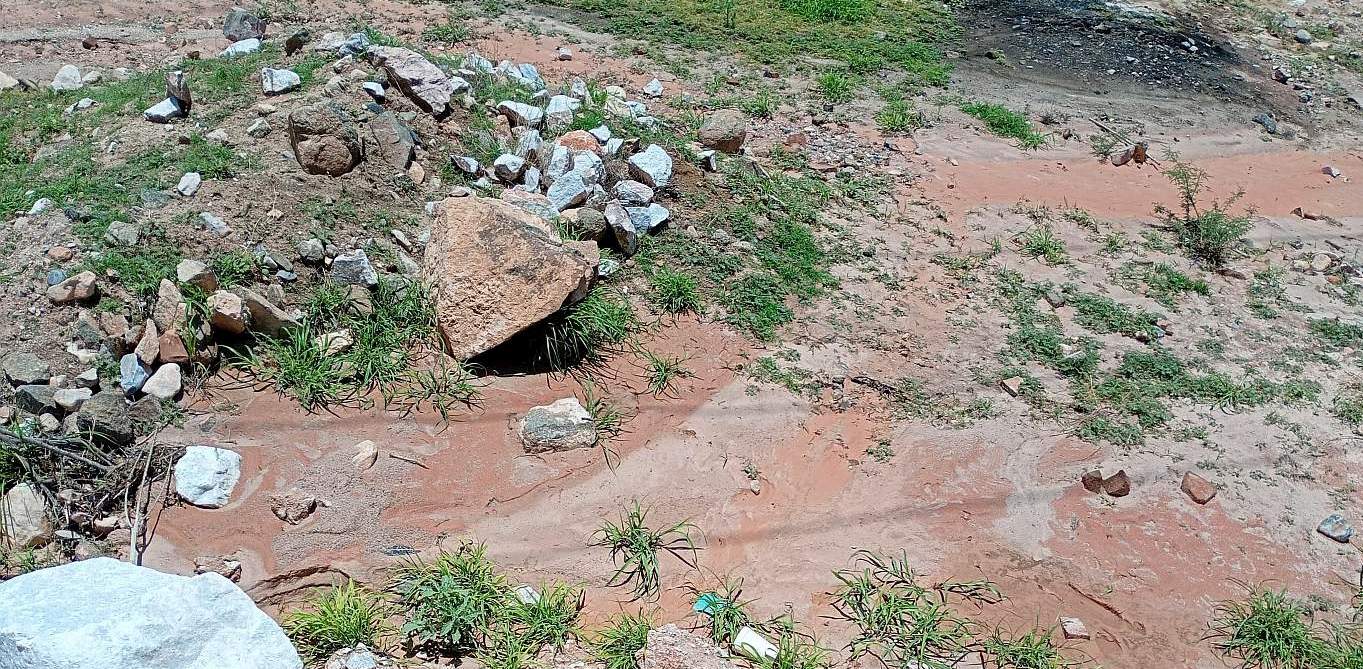
On the road to the mines along the northern rim of the crater.

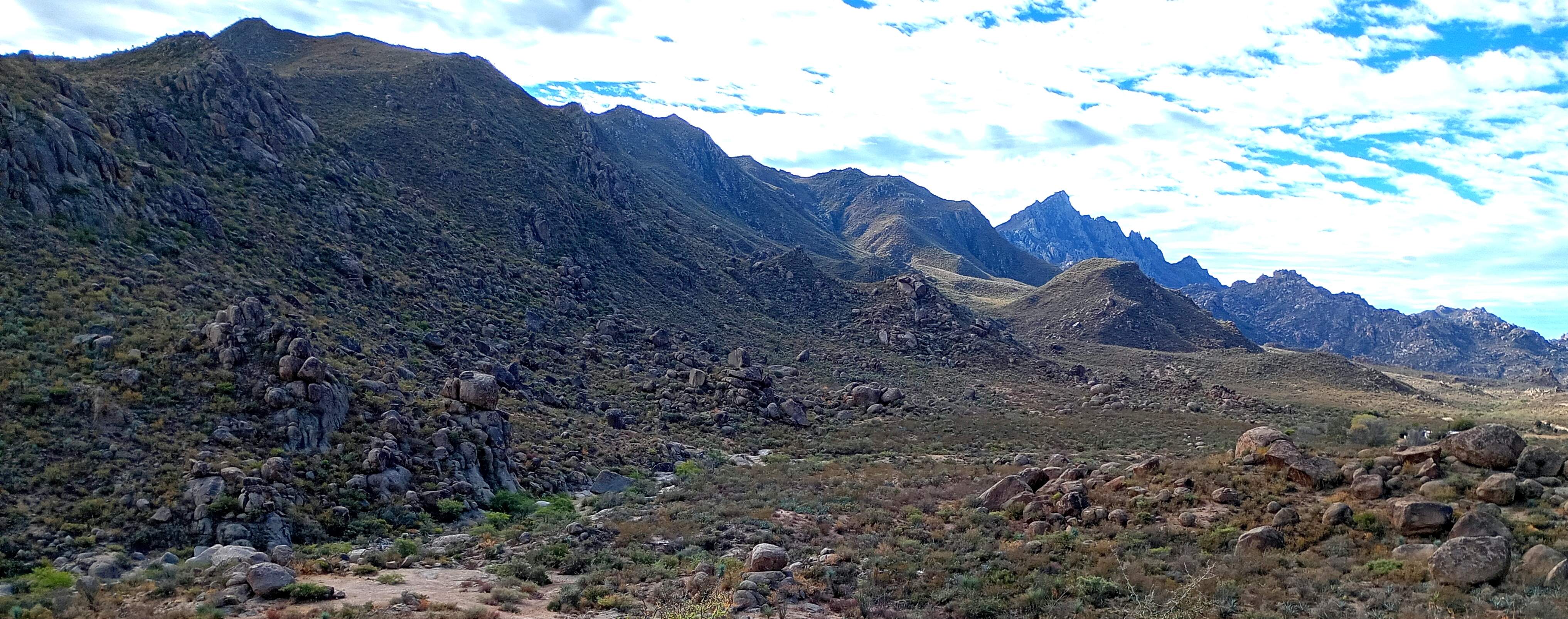
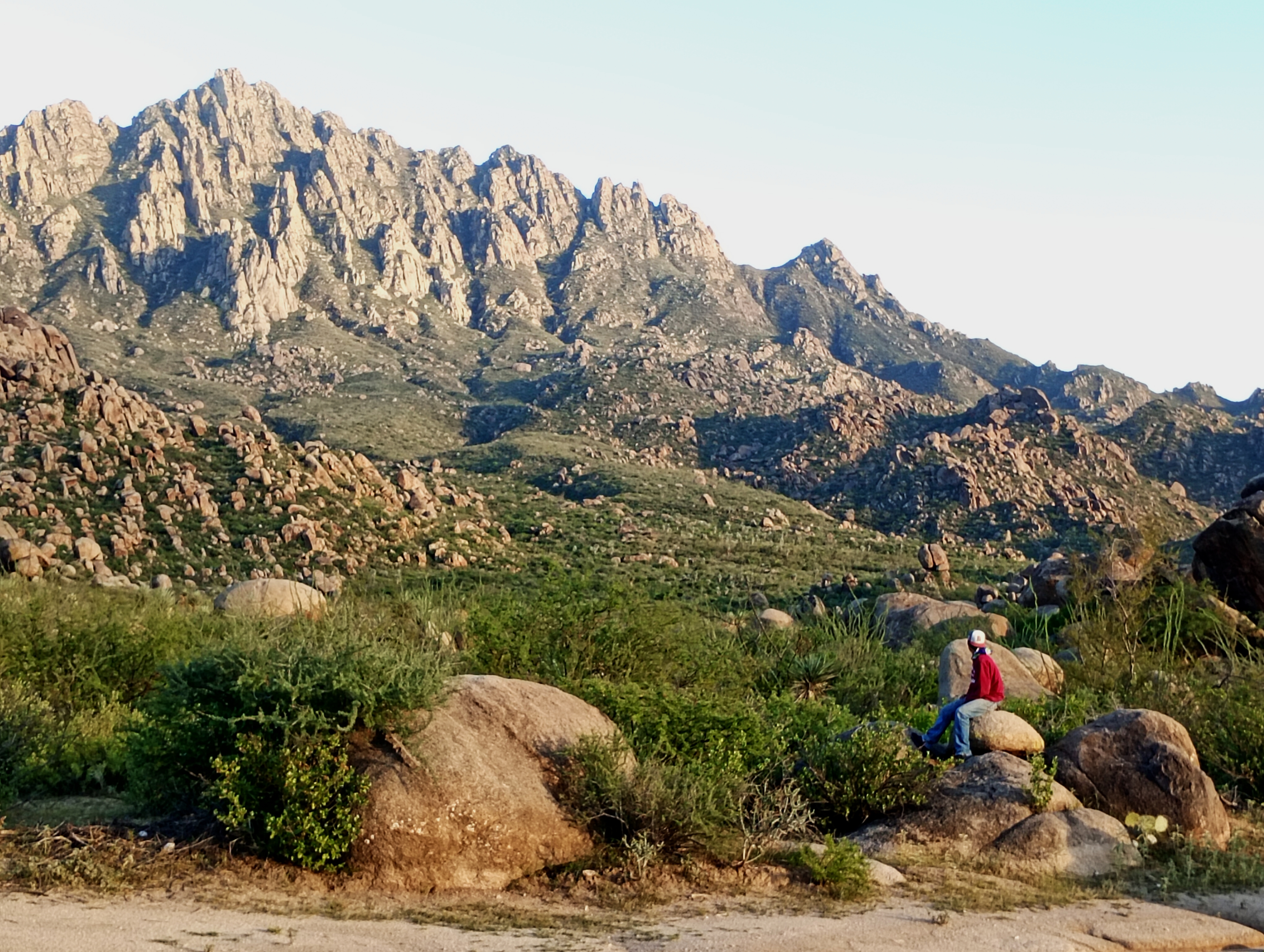
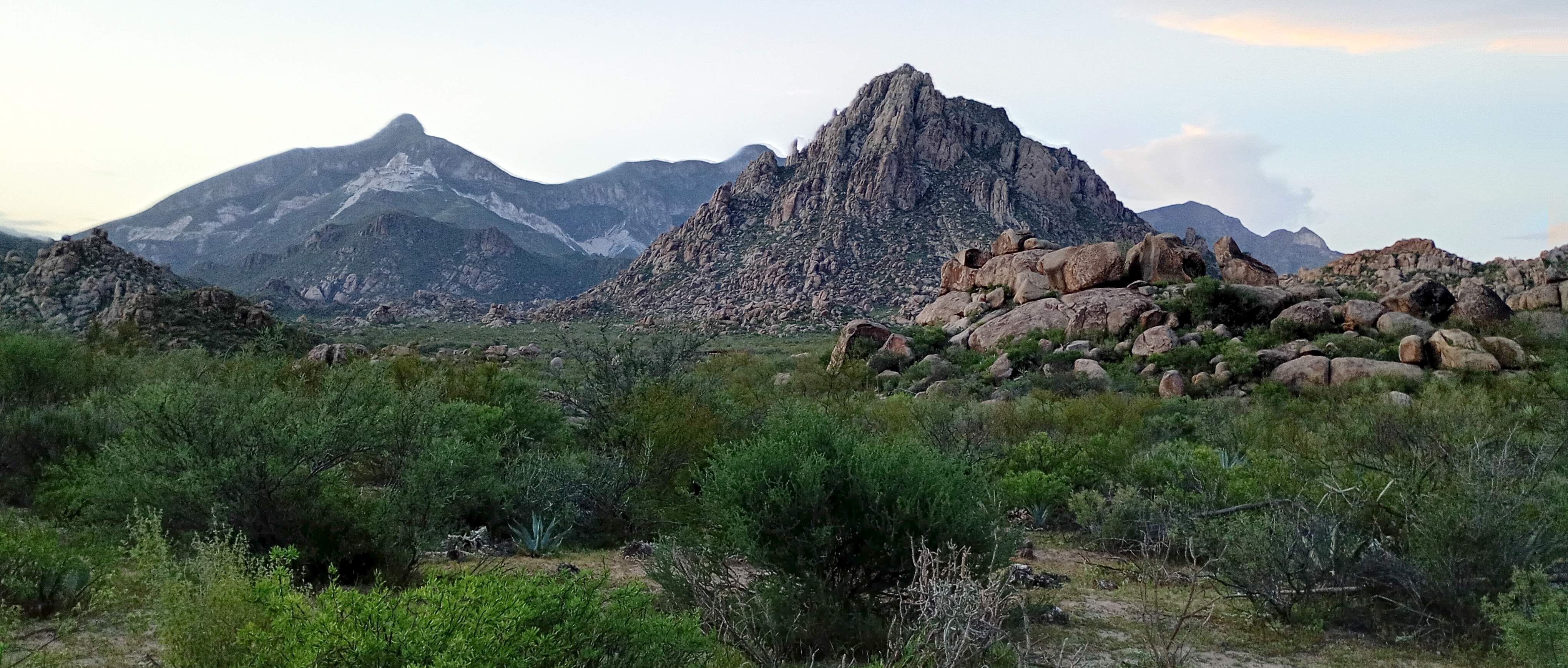
Entering the crater from the Southwest, this is Sierra Blanca and a view of the northern mountains.

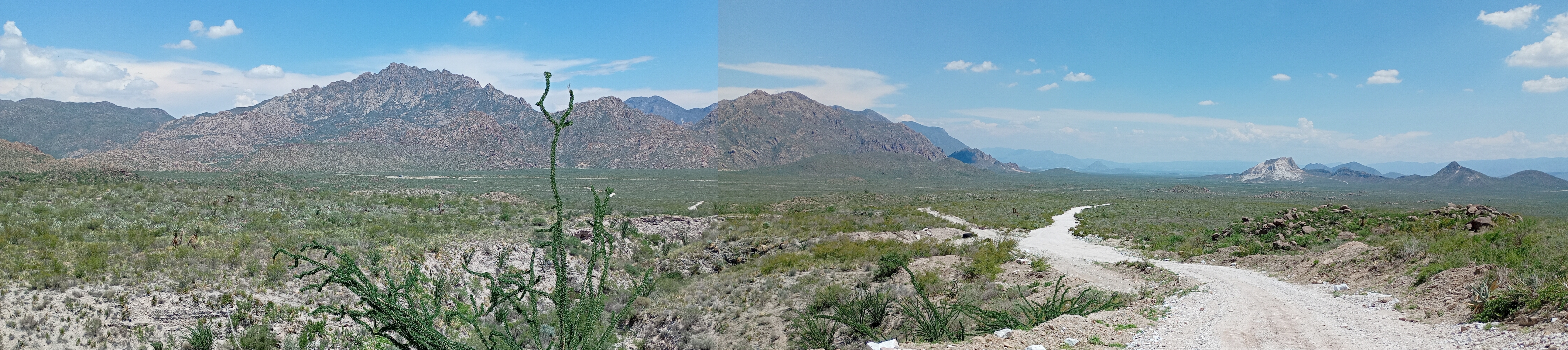
Looking south, Sierra Blanca is in the distance to the right with a view of the southern mountains.

One of the calcite mines on the north rim. Most of the minerals are broken up and trucked to the processing facility. But some of it can be cut precisely for uses similar to marble.


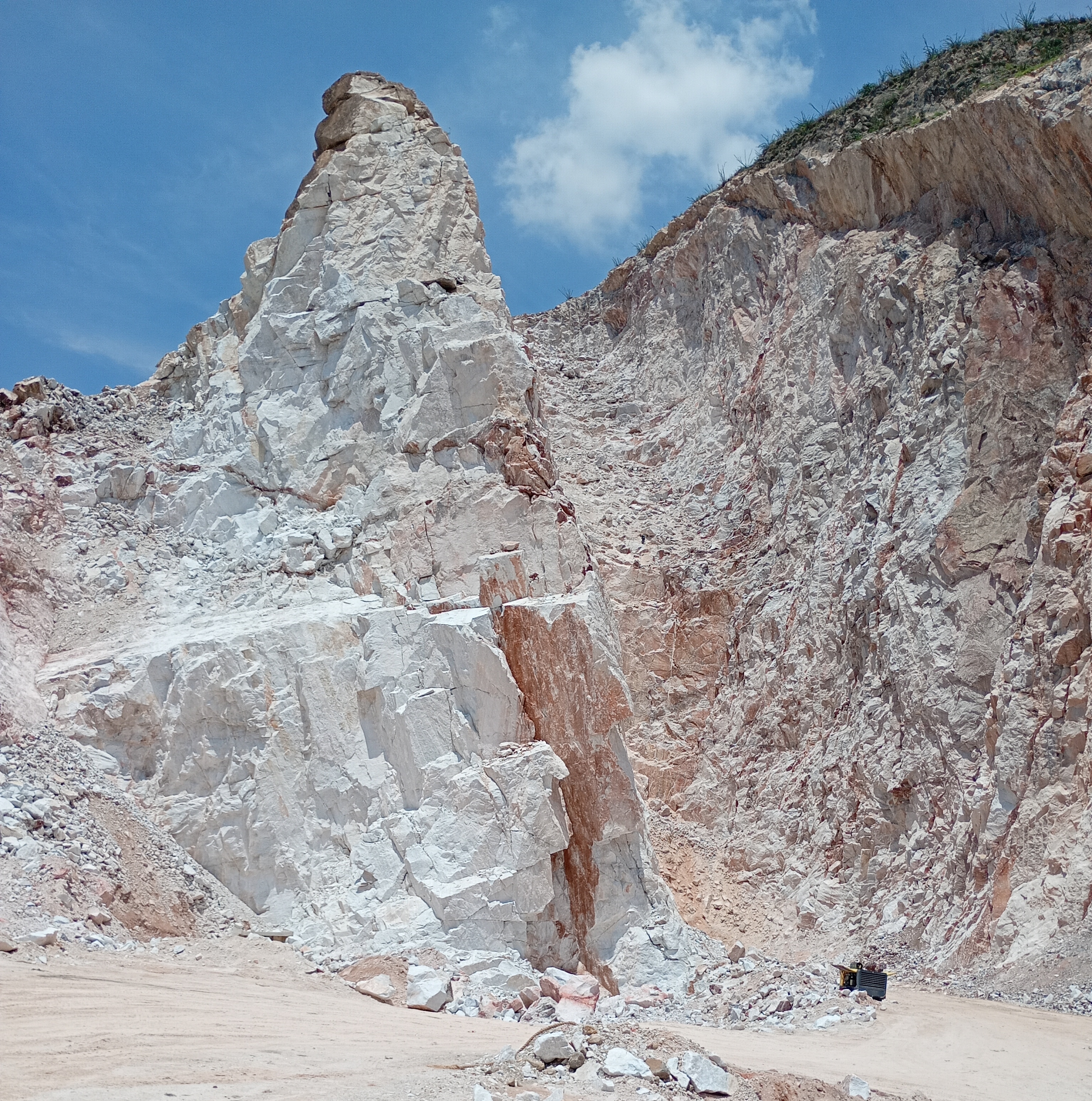
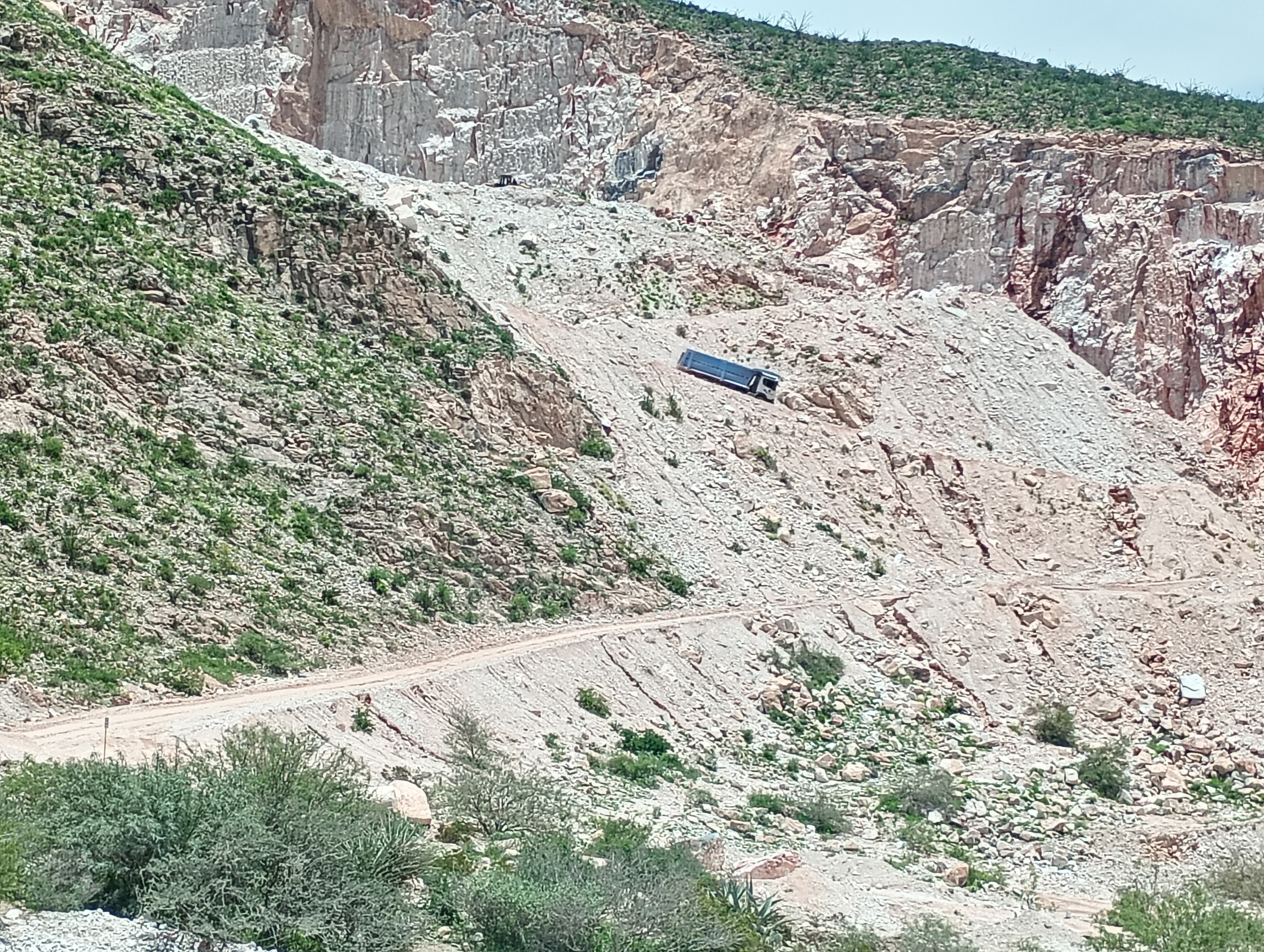
One of the trucks filled with calcite decending from the mine.The grades are steep and the roads are dirt and vey rugged.


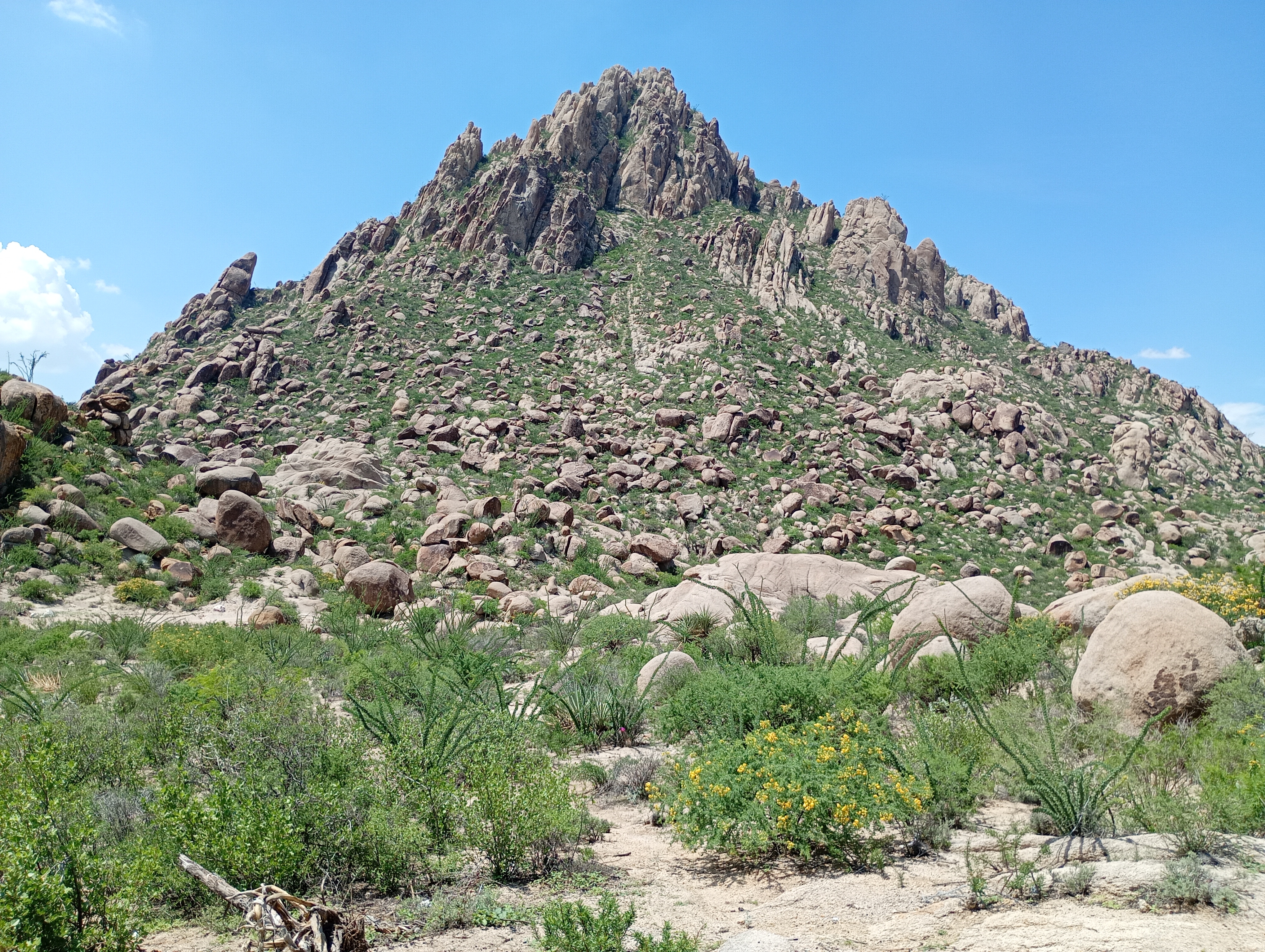
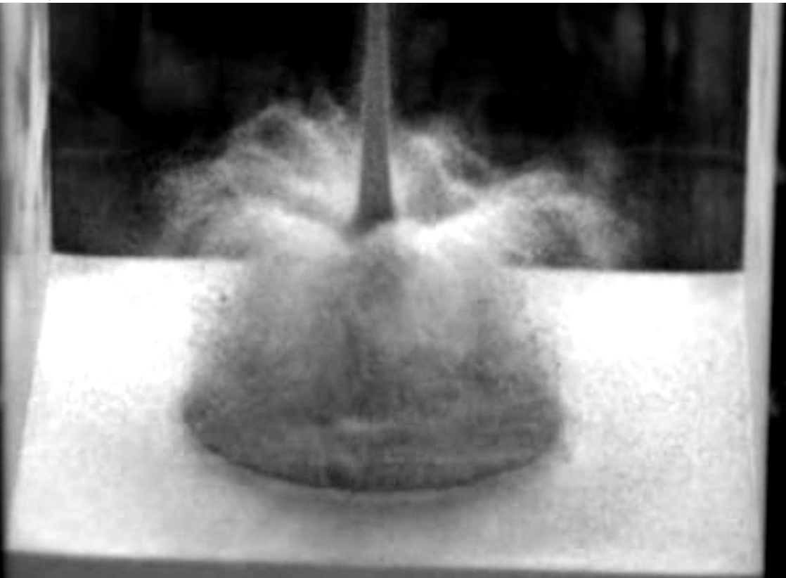
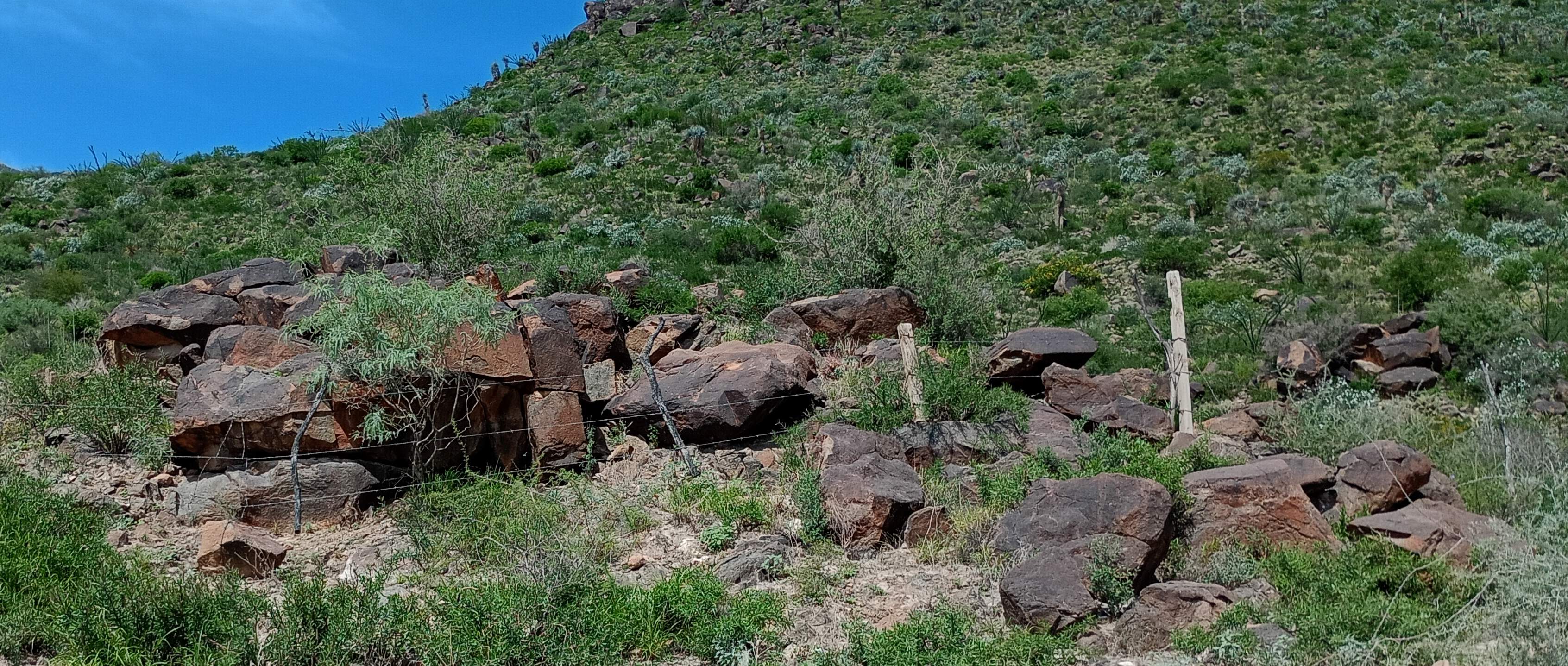
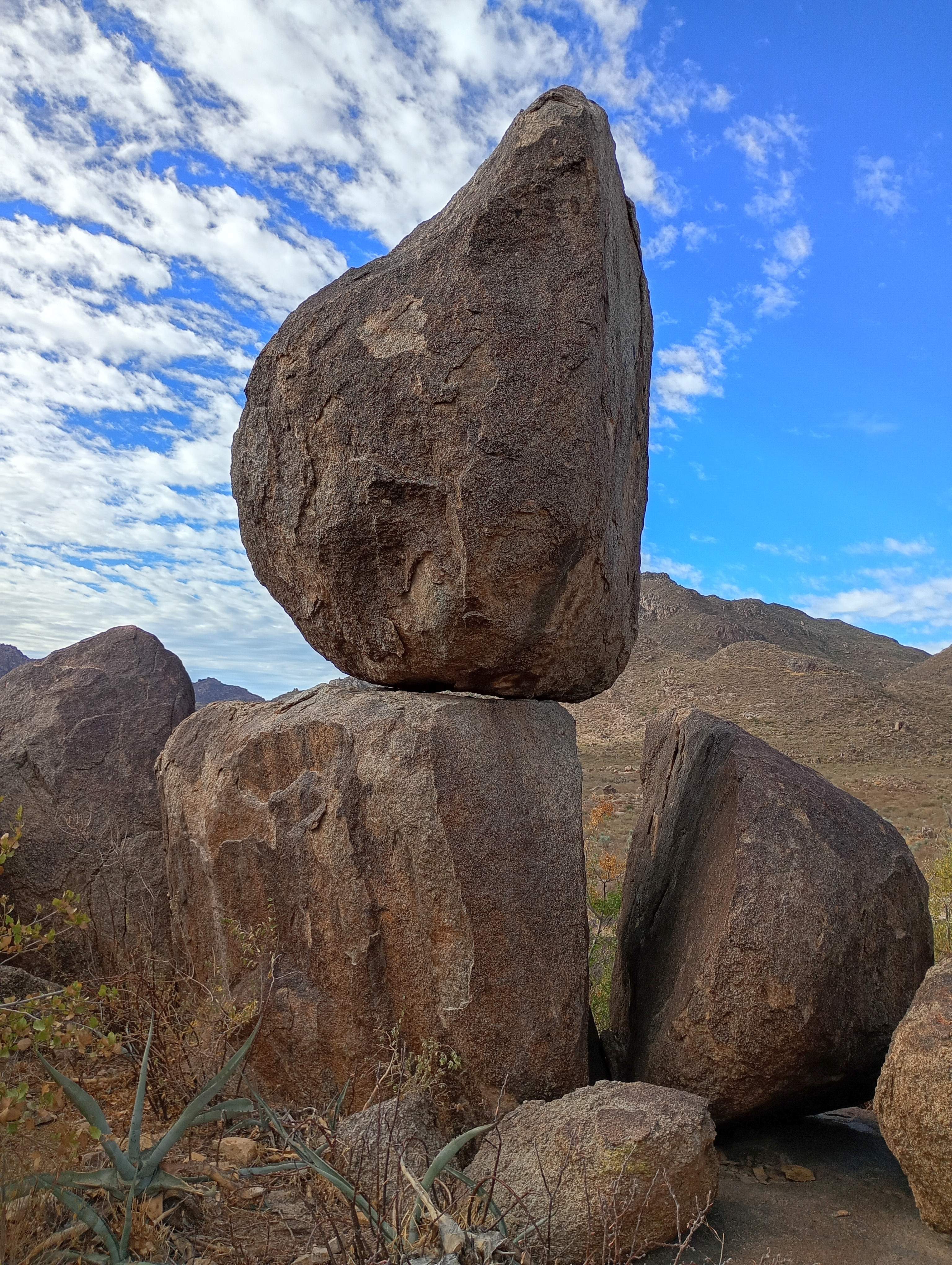
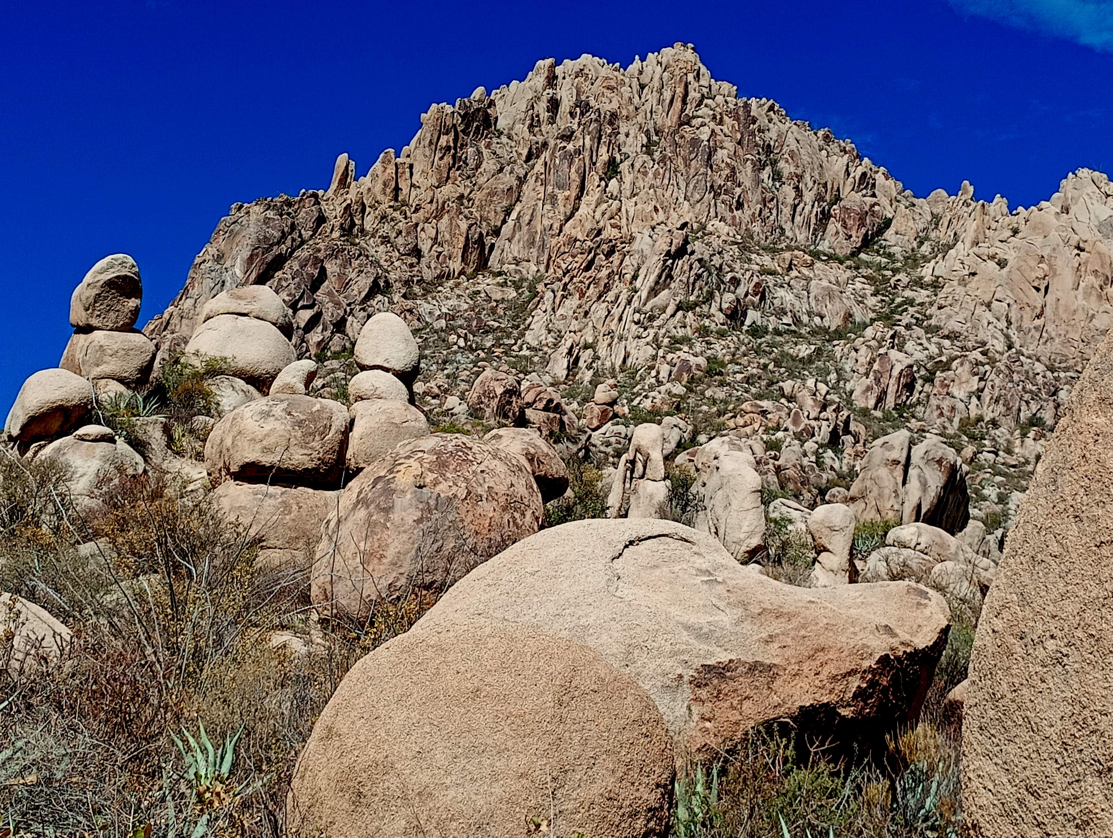
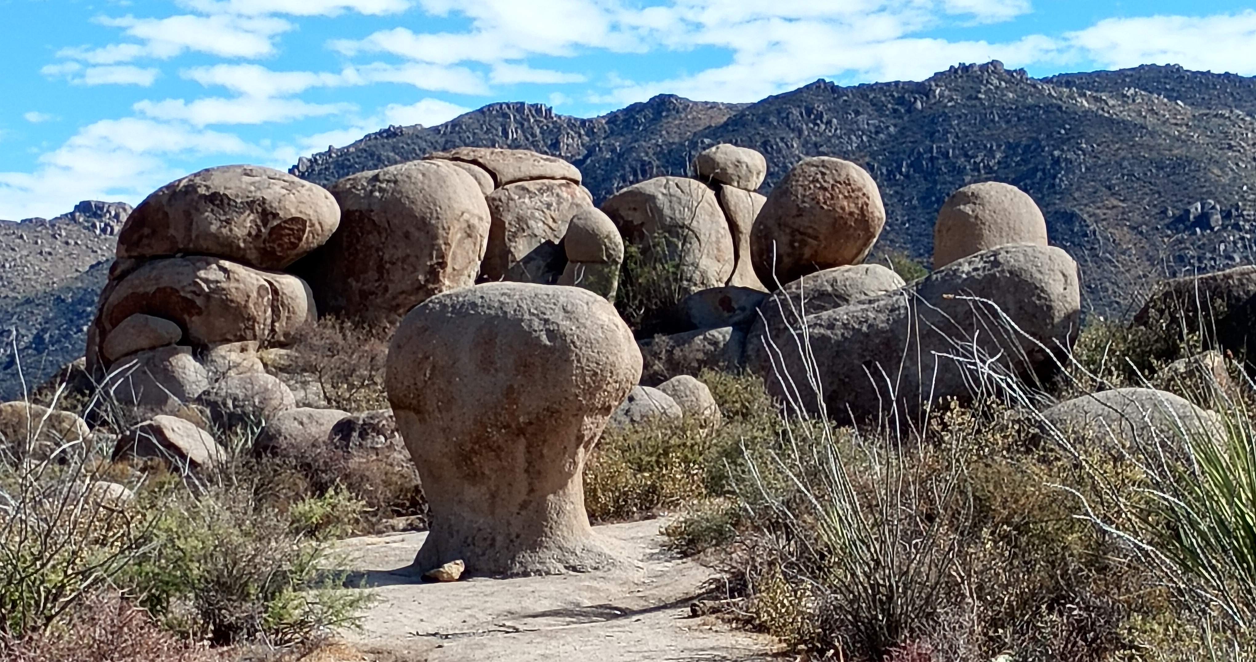
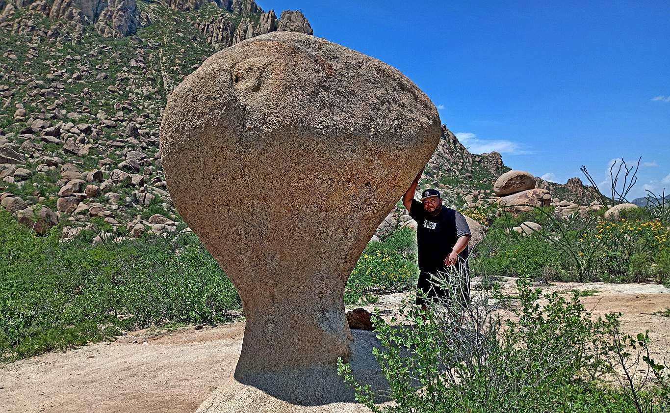
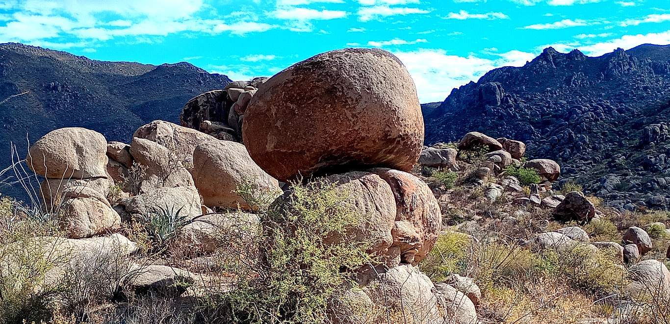
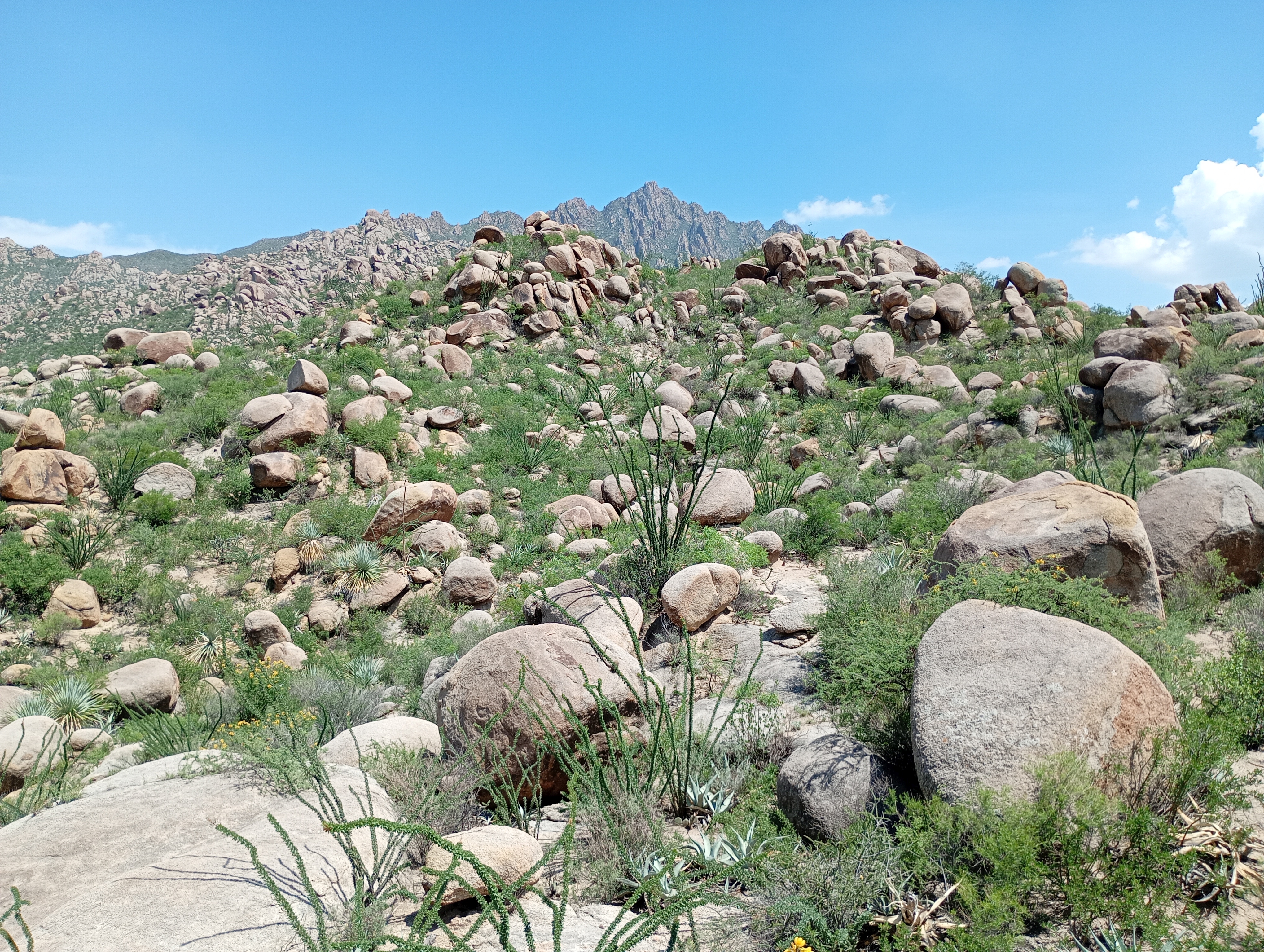
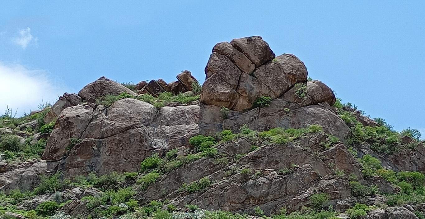
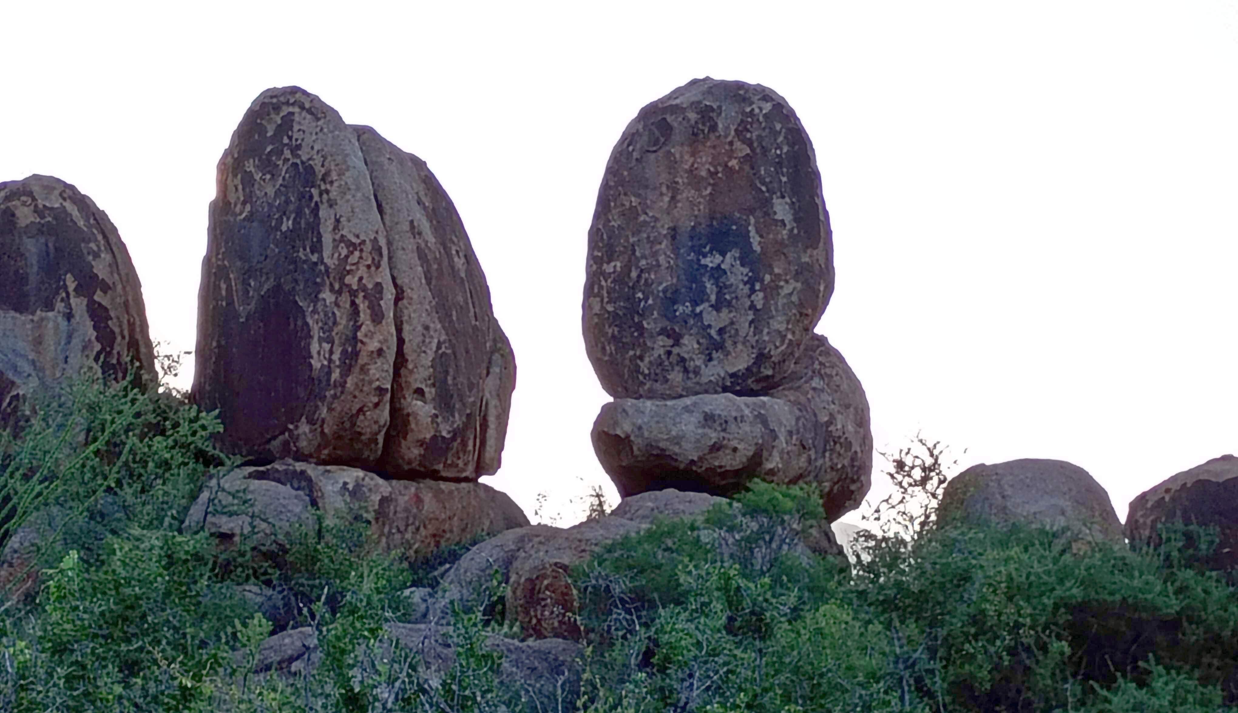
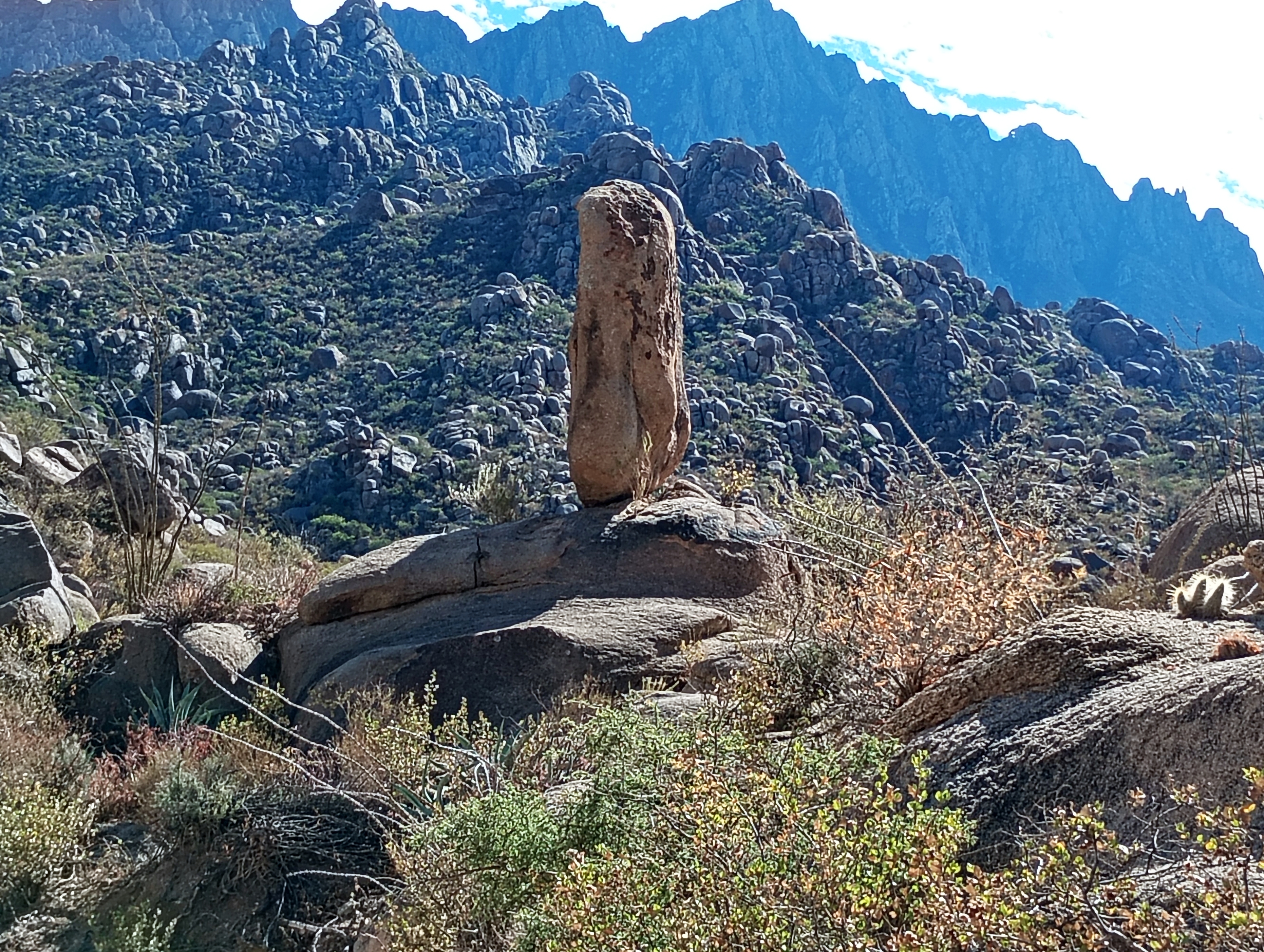
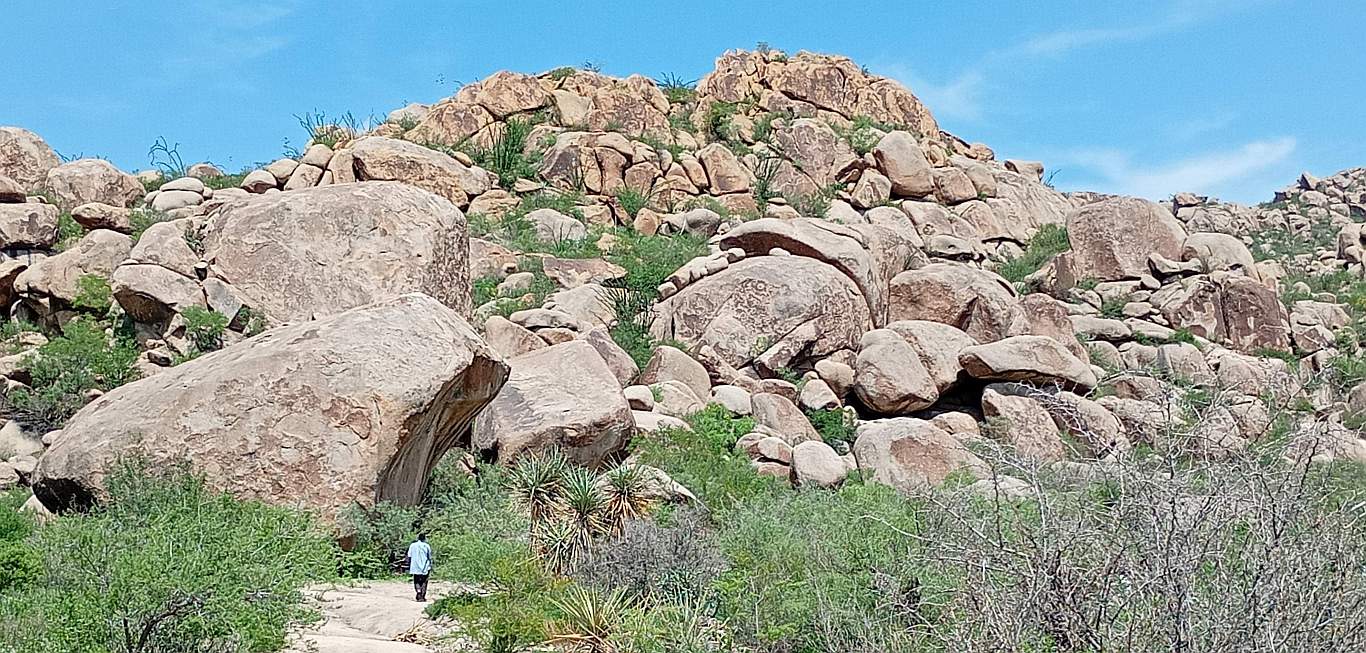
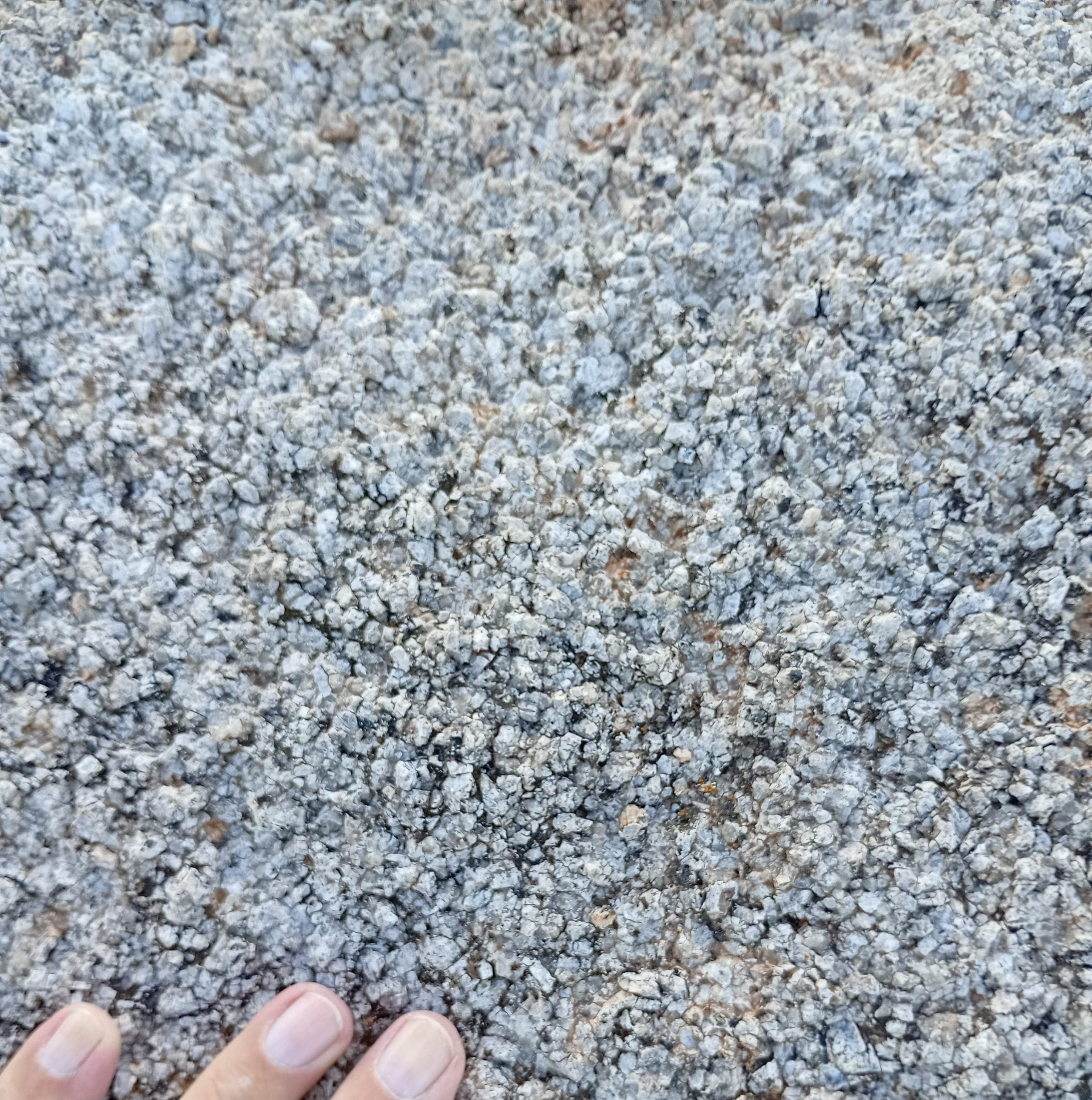
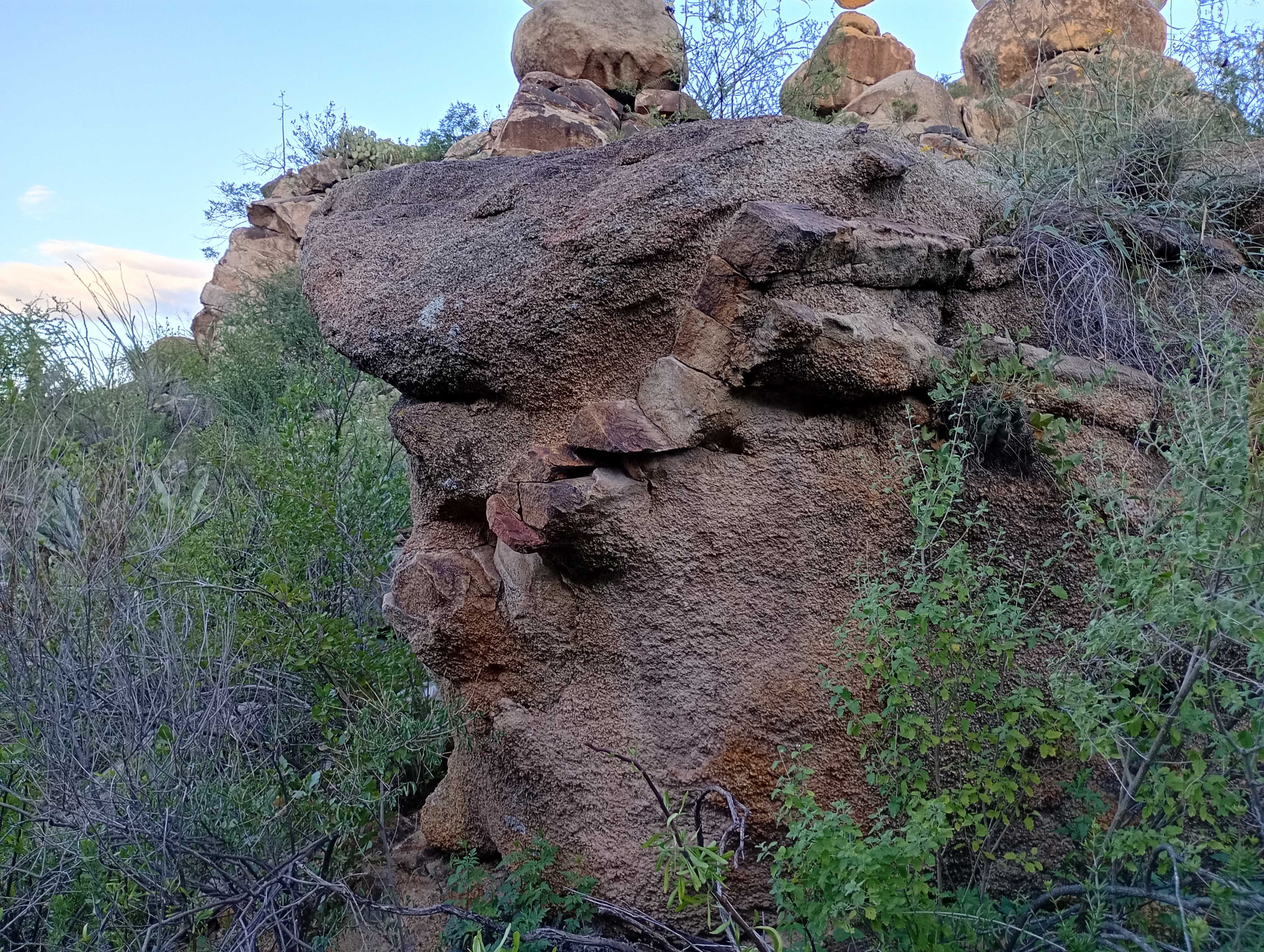
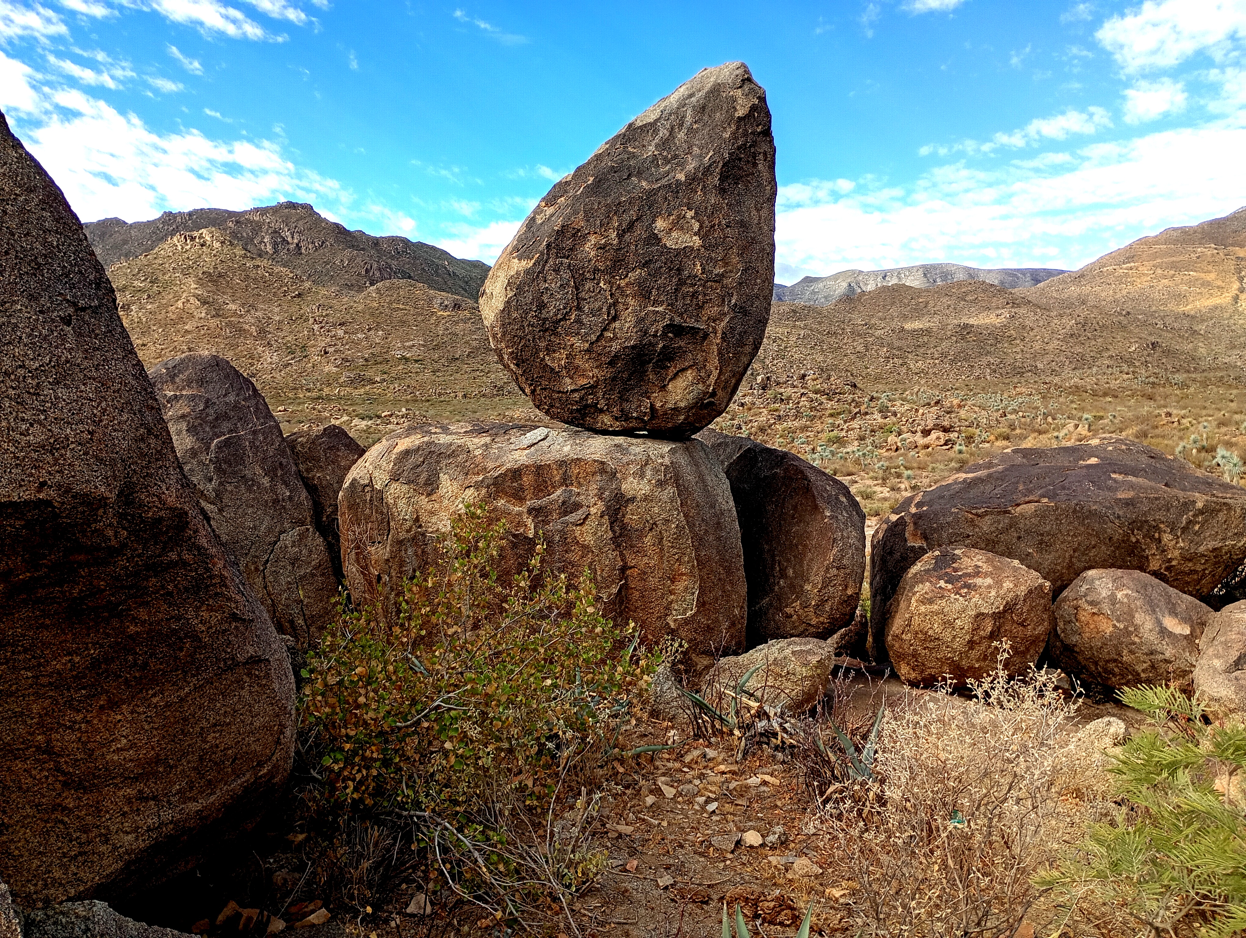
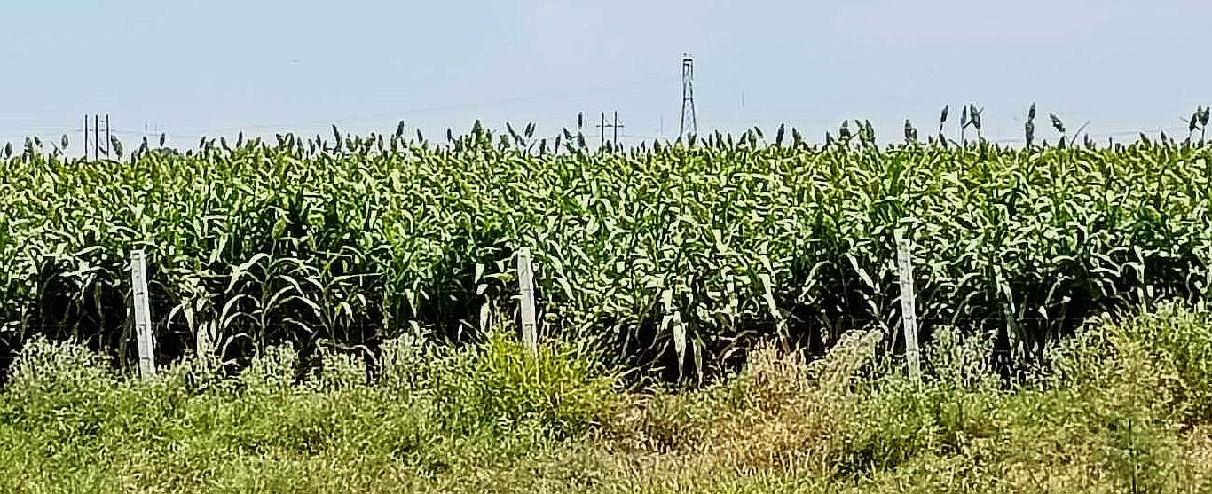
In the center of the impact is this formation. In the distance is the northern rim swhowing some of the calcite mines. In front is one of the many boulder fields. How all this came to be is a question. My best guess is that the meteor, with its mass and tremendous velocity of perhaps 50,000 miles per hour, when it hit the Earth, the forces were so great that it reacted very similar to a drop of water falling into a still pond, as shown below.

A water drop falling into a still pond. The difference between this and a meteor impact is the mass and velocity of the meteor and the Earth. Click on the image for a short video.


Another view of the central formation and the surrounding boulder field.

This is a laboratory experiment showing a high speed impact. Click on the image for a short video.

Boulder fields. Many areas here have these boulder fields which look like the boulders 'rained down' on the area. Much of the land here is covered with these boulders. Click on this image to expand it and you can see that the far hills are also covered with these boulders


One of the formations near the center with the center formation to the rear. Notice the boulder field to the right.

Some of the rocks in the area have this very dark reddish coloration, I believe this to be iron deposits.

The streambed in the area shows this red sand, again a sign of iron deposits in the area.

One of the many rocks in the area. How is this possible? My explanation is that when the meteor hit, it pulverized all the rocks in the area and blew them very high into the atmosphere. Up there, due to either gravity or electronic attraction in the upper atmosphere, the particles came together to form these boulders, which then rained down from the sky. Many of the boulders were not completely solid when they hit, which allowed them to curve, deform and go into many odd shapes. Some of them hit on top of others and stayed there such as in the image above. Click on the image to get a much larger image, which also shows the granulation of the rocks.

All of the rocks in the area are like this. If you wish you can rub off or pick off individual grains. All of these small perticles came together, but not as a result of outside pressure, as you would find from rocks that have been buried deep in the Earth. If these particles were blasted into the high atmosphere then came together, what force brought them together? Gravity seems unlikely as the gravity between particles would be very samll. These do not seem to be magnetic, so that force does not seem to work. The other possibility is electronic attraction in the high atmosphere.

The central formation with several other stacked boulder formatons in front.

A very interesting formation. How the rock in front came to be is a question. A short 360 degree video is HERE!


In many places the rocks appear to have been somewhat pliable when they came down, so that they formed to the rocks below to take their final shape.


On the trail to the paintings of the Ancients. The image links to a short 360 degree video of the area.


The Paintings of the Ancients.


Corn grows high and thick.

Dairy cows keeping cool. There are many of these places in the area where the cows are as far as you can see, staying under the shade and keeping cool with the fans constantly blowing the air.

The End

Comments, information, discussion, e-mail me here:
twest@geoledgers.org

© Terry Westerman 2026