Advisory 


If you arrived here by any means other than from the Index of Impacts,  it is suggested that you start at the Introduction to gain an understanding of what follows.

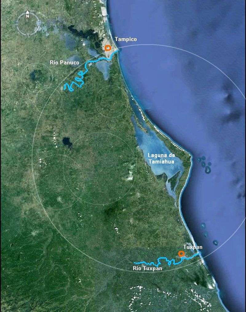
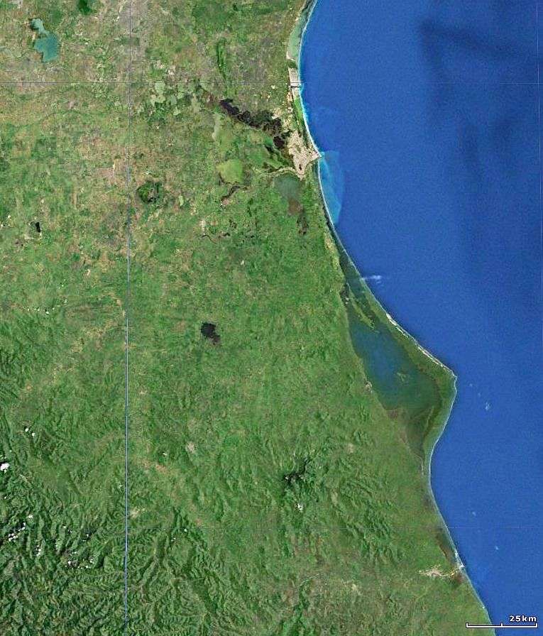
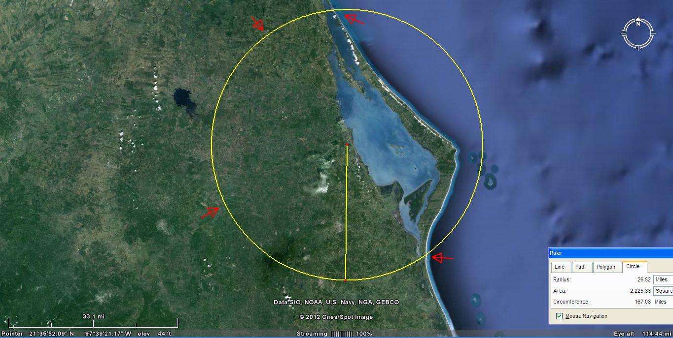
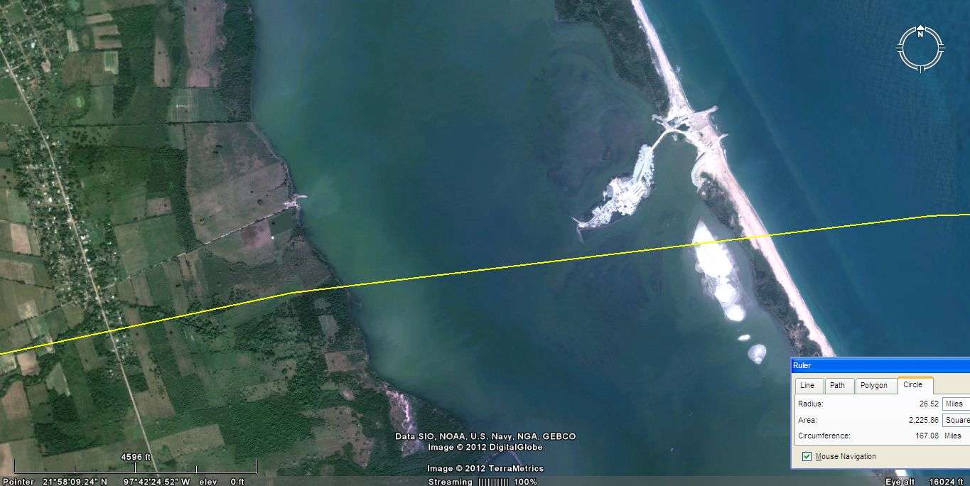
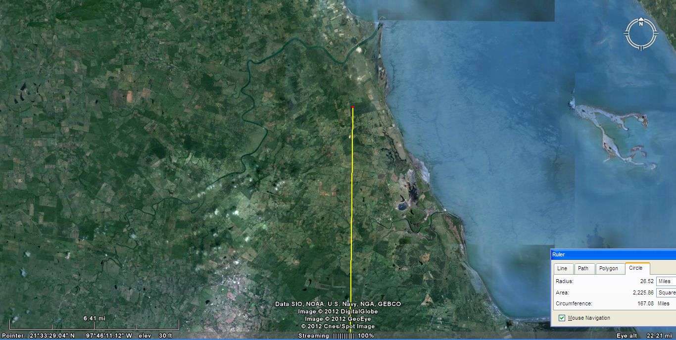
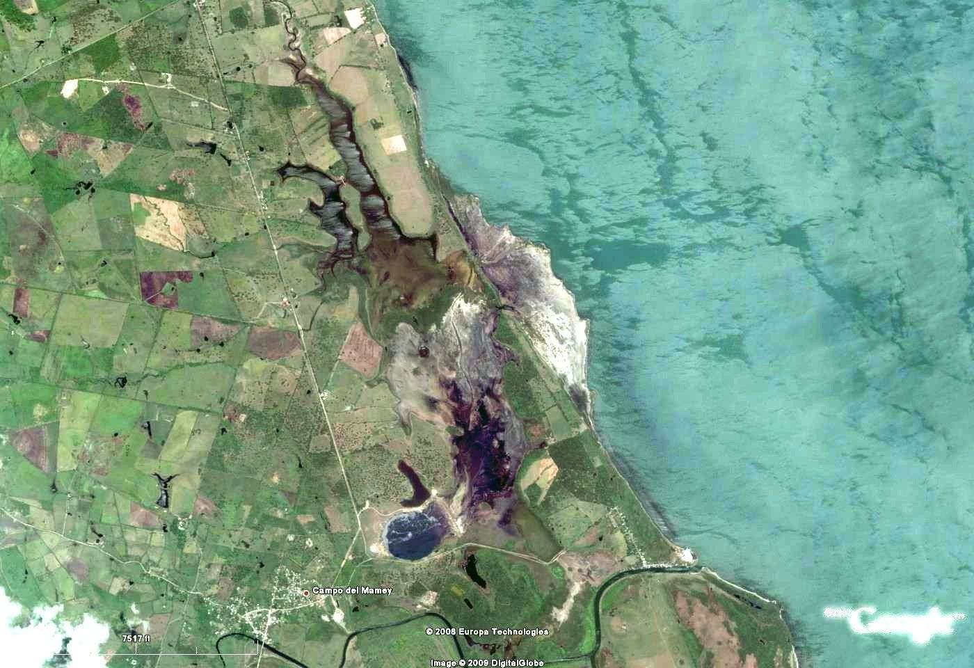
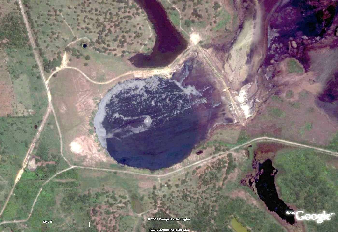
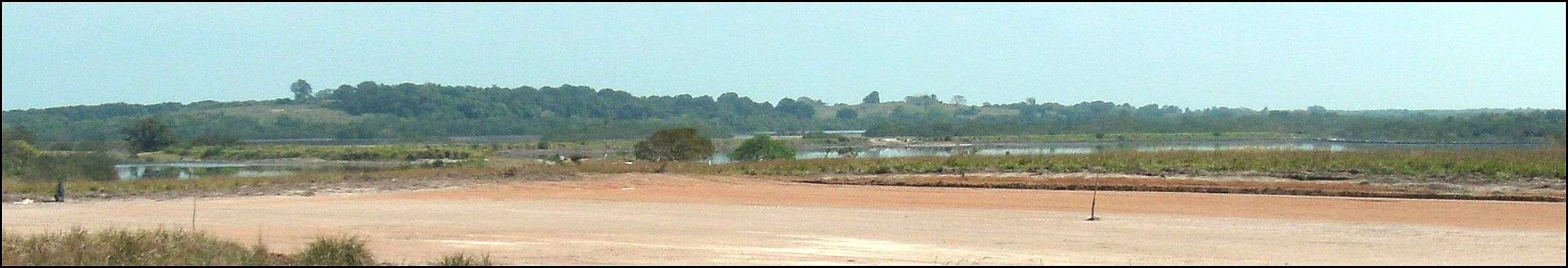
Tamiahua Meteor Impact Site

Tamiahua Impact Site, Veracruz State, Mexico
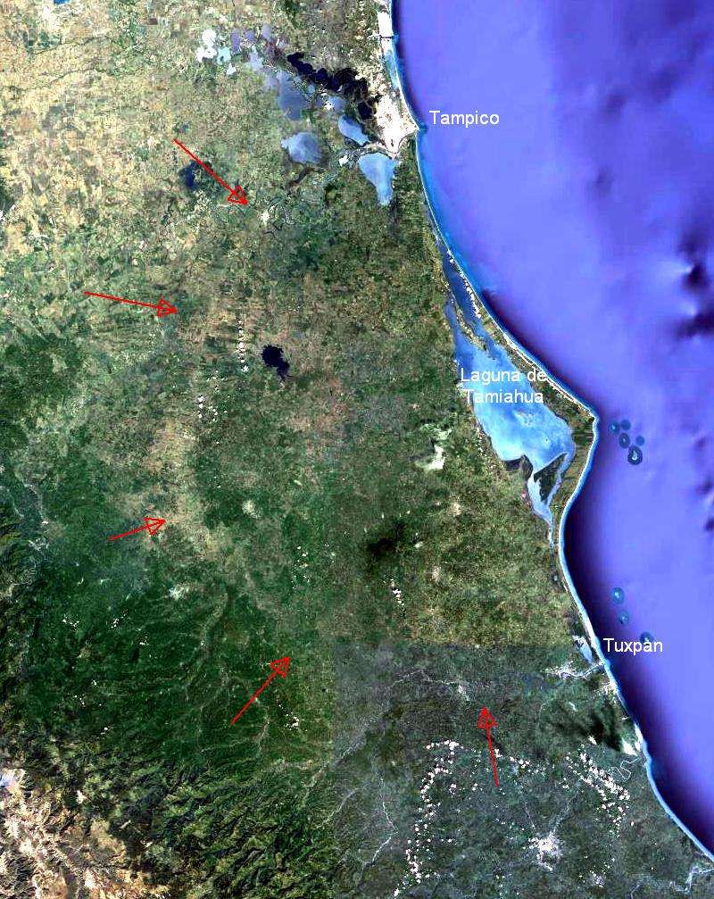
     Centered on the Laguna de Tamiahua, Veracruz Mexico, the impact on the coast made a "crater" of about 90 miles diameter. This is not a crater in actuality, but is nearly the opposite. It is visible today as lower lands than the surrounding area. On the North is Tampico where the Rio Panuco flows to meets the Gulf. On the South, is Tuxpan and the Rio Tuxpan.  The east side of the crater, being under water has been washed away.  At the center is a large oil seep.

The Tamiahua Meteor Impact site with a few other smaller impacts noted.

The above image describes the site with Tampico and El Rio Panuco in the North, and Tuxpan and El Rio Tuxpan on the South. Laguna de Tamiahua is at the center. Some of the other smaller and more recent impacts are marked, many are not marked.


The tamiahua Meteor Impact site
at 26 miles


On the north part of this circle, lies the Barra de Tampachichi, the sand bar on the right of the image that leads to Cabo Rojo. This is where the State of Veracruz dug a new channel to open the northern part of Laguna de Tamiahua to the Gulf of Mexico. An opening here has many benefits to the ecology and the economy. This naturally would be the lowest, easiest, and most economical place to dig this channel. It is believed that there was no prior knowledge of the relationship to the impact that is shown here.


At the southern part of this circle is the only natural opening from the Laguna de Tamiahua to the Gulf of Mexico.


At the center of impact, there is a small river draining the land to the north of center. To the south of center lies an oil seep.


Index of Impact Sites

Introduction

Comments, information, discussion, e-mail me here:
twest@tampicoventures.org

© 2012 Terry Westerman