Advisory
If you arrived at this page from a source other than the Index of Impacts,
please go to the Introduction for an explanation of this page.
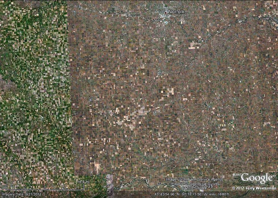
Norfolk Nebraska

Norfolk Nebraska Meteor impact field

     This the agricultural plains just south of Norfolk, Nebraska. At first there is only thousands of fields to see. But if you look closer, you can see the ghost images of many impacts. Some of them are less than a centimeter wide on your screen, others large enough that they will not fit completely in the image. If you study the image they will start to appear.

Click the image to highlight some of them.

If you toggle the images back and forth, other impacts that are not marked may become visible to you.


      Many of our human activities have unknowingly followed the patterns of the impacts. On the ground we are just taking the best advantage of the land, the past impacts being unknown to us. But from high above these patterns form. Streams and rivers will follow the outside edge, and the center is often an area of special significance. It may be an area of special fertility, or it may form a pond or lake. Sometimes houses, towns and even large cities are built at or very near the center of an impact, as the center may be a bit higher than the surrounding land.
      Look closely at these circles. Many of them have a center area that is slightly different than the rest.

     While the majority of the objects floating around in space are nothing other than the dirt you walk over every day, each meteor is a little different dirt than the rest. The dirt from one impact will grow certain crops better than the dirt from another. This is where the various soil types known to the agricultural community comes from. As such agricultural patterns emerge from the different soil types, and sometimes individual impact sites can be determined from these agricultural patterns.

Return to

Index of Impact Sites

Introduction

Comments, information, discussion, e-mail me here:
twest@geoledgers.org

© 2012 Terry Westerman