|
If you arrived here from a source other than
the Index of Impacts,
please go to the Introduction for an explanation of this page. |
|
|
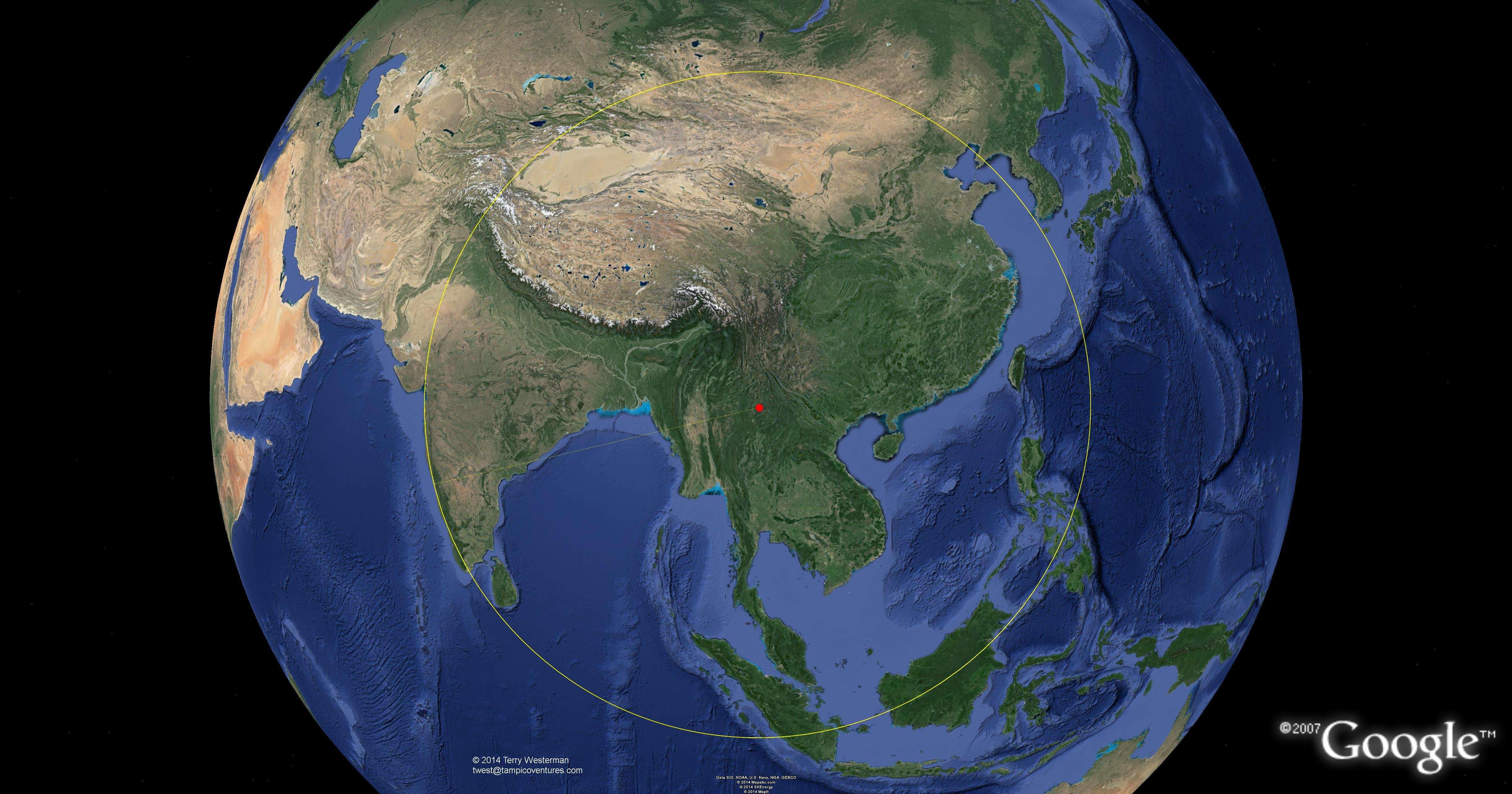
 The seismic circle at 27 km radius. Images bordered in blue are linked to larger images for a more detailed examination. The larger image also shows other smaller impacts, faintly marked. As the Earth was formed by meteor bombardment, there are many others which are not marked. As the geography that closely follows these circles is studied, there begins to form an understanding as to why the landscapes of our Earth are as they are. |
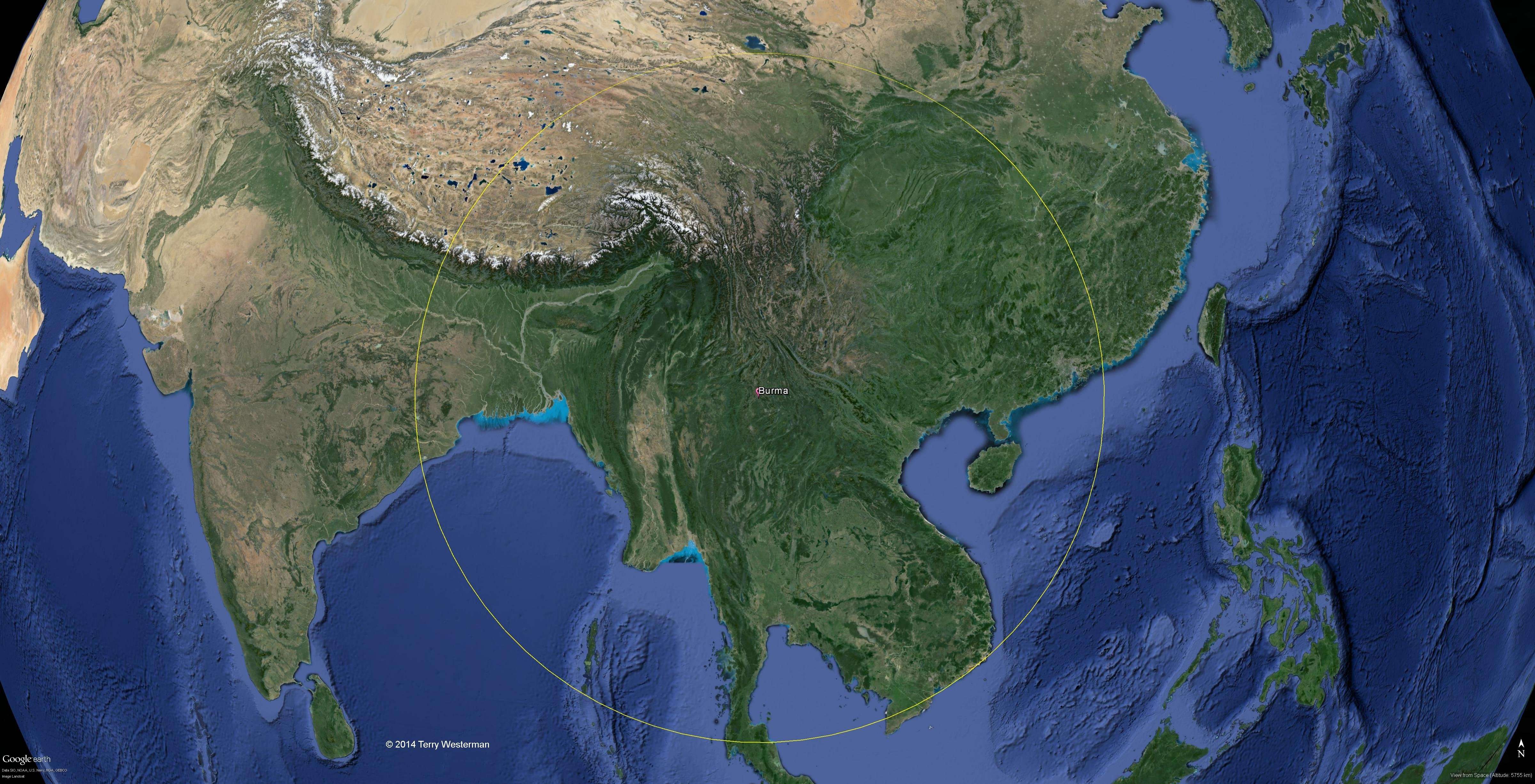
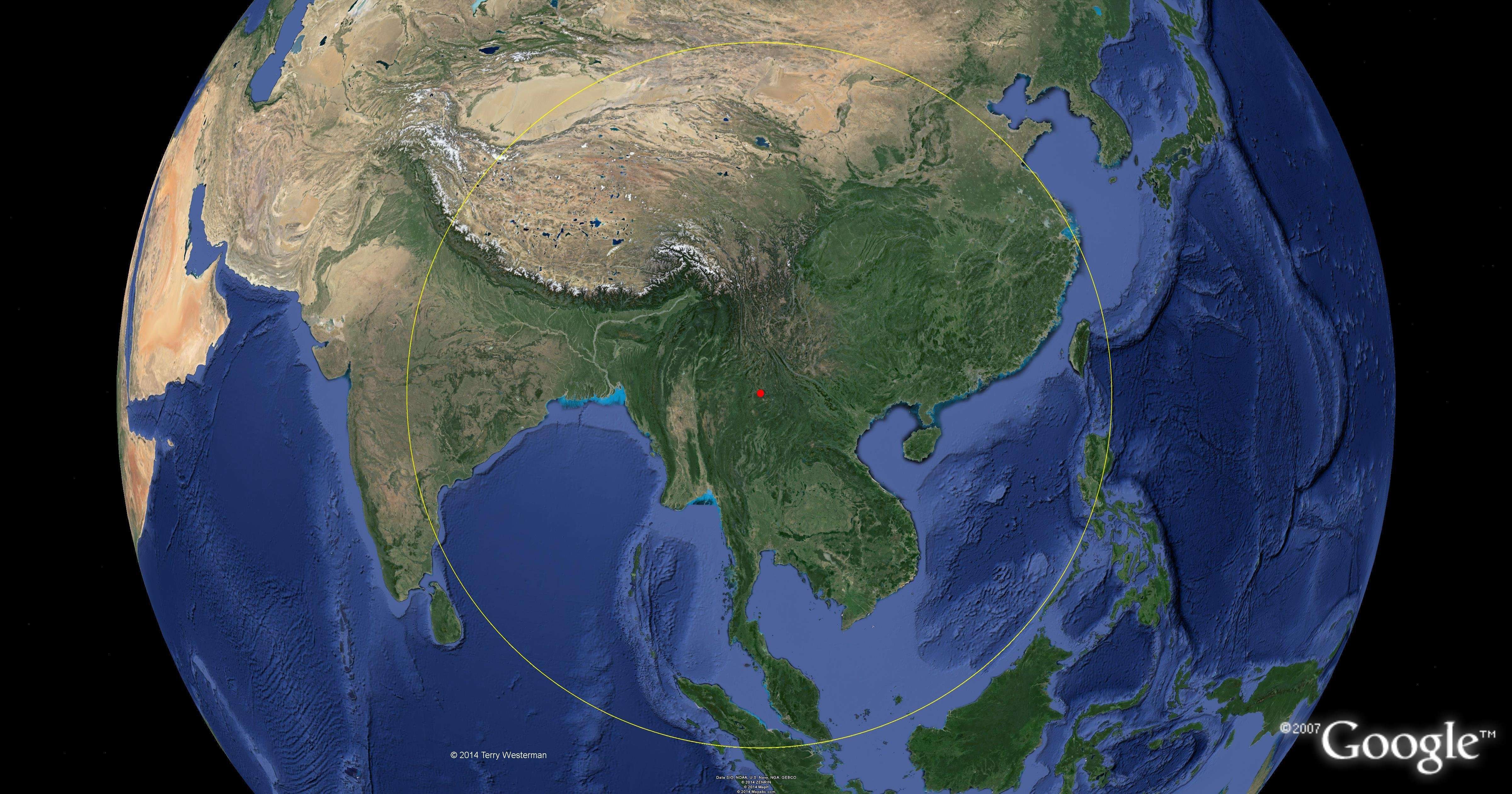
 The 160 km radius seismic circle. The larger image (4800 x 2519, 1.9M), which is linked to this one, details this circle and faintly marks many other impact sites in this area. There are many others which are not marked. The Earth was formed by an uncountable number of meteor impacts. With sufficient time, nearly all the formations on the Earth can be accounted for by meteor impact, save those formed by lava flows, erosion, and the ocean currents. |
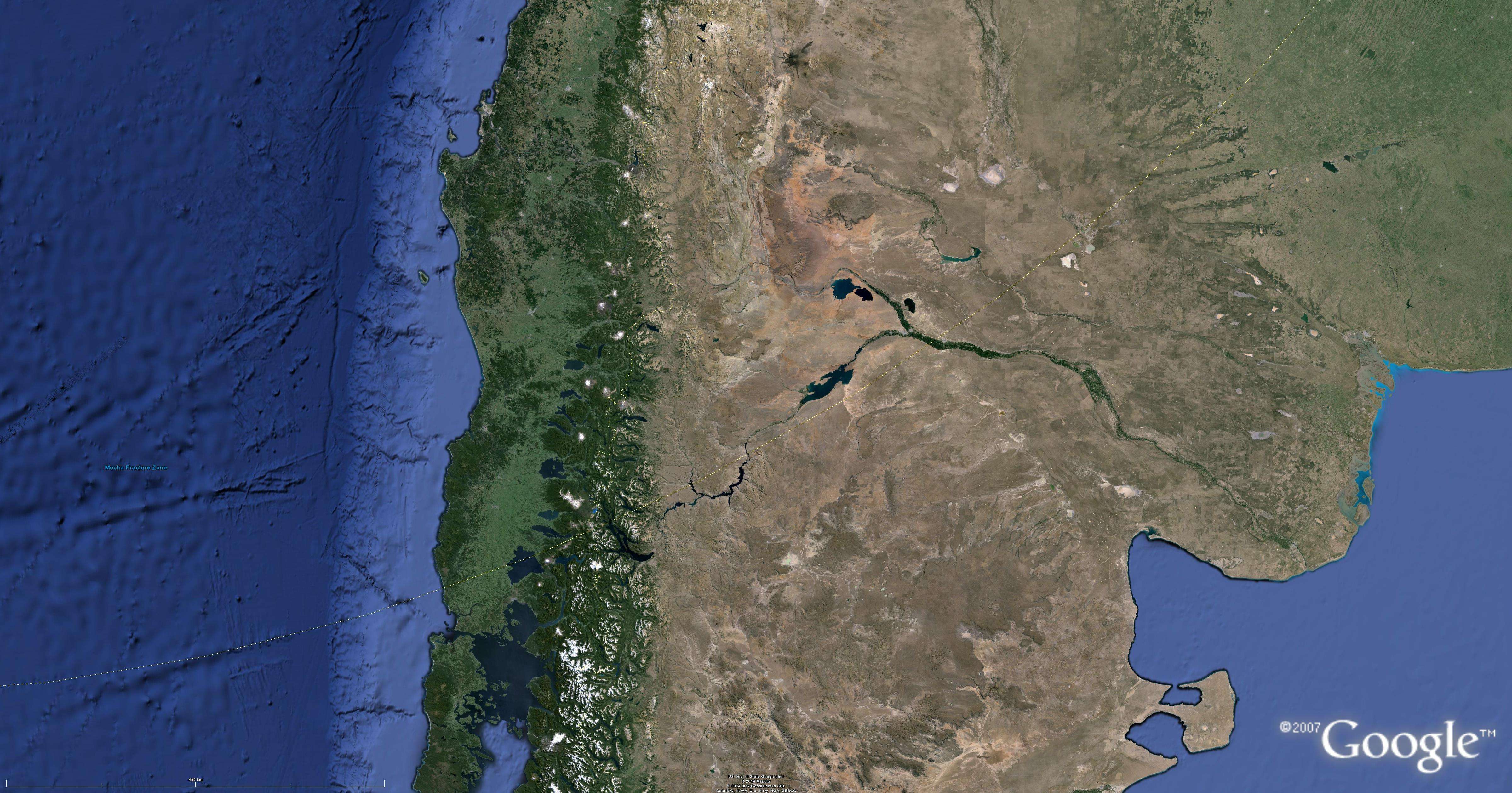
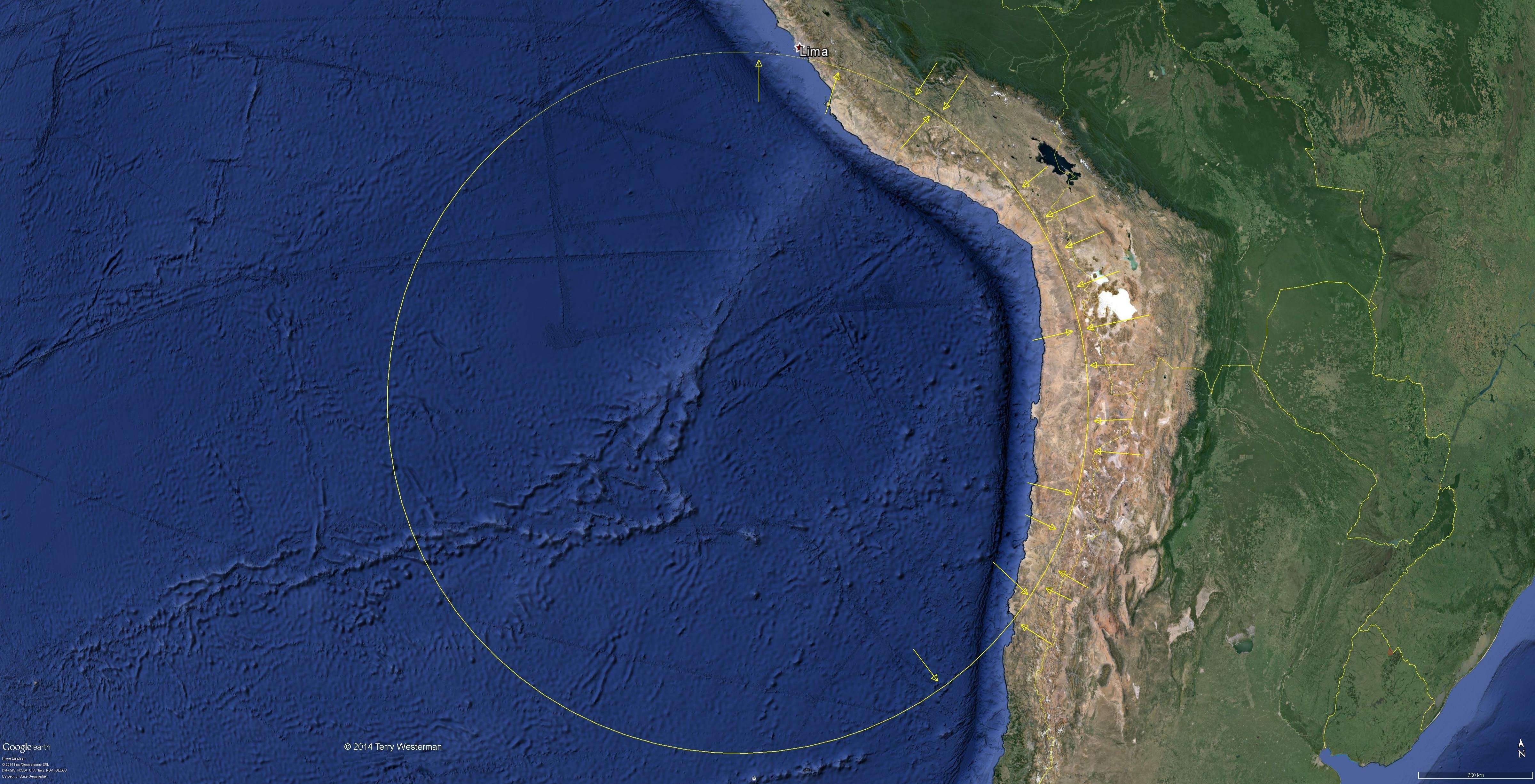
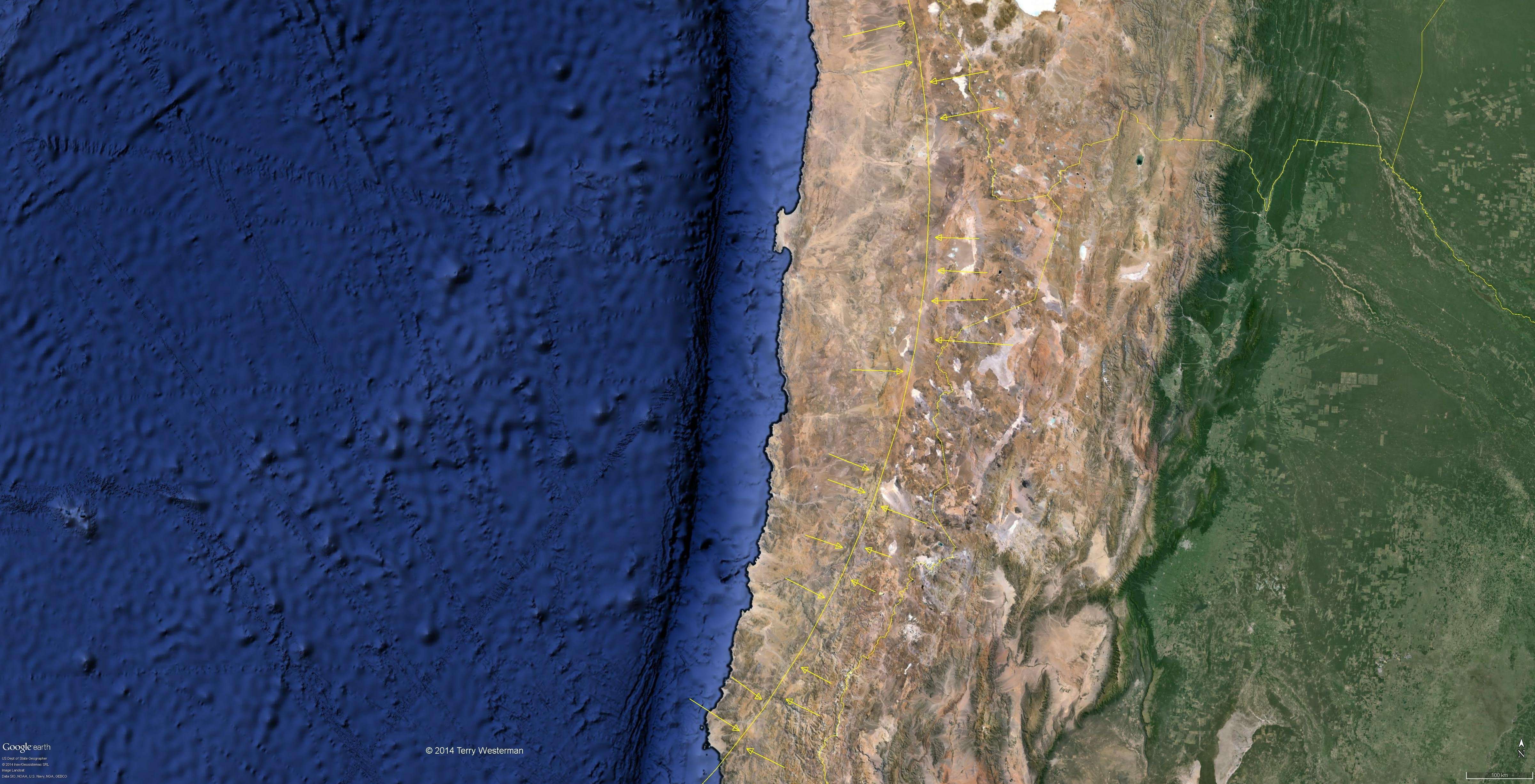
 The seismic circle at 575 km radius. The western rim of this circle is quite obvious, and could be viewed as the primary impact ring - the crater if you prefer. The larger image linked to this one also shows several lesser impacts. |
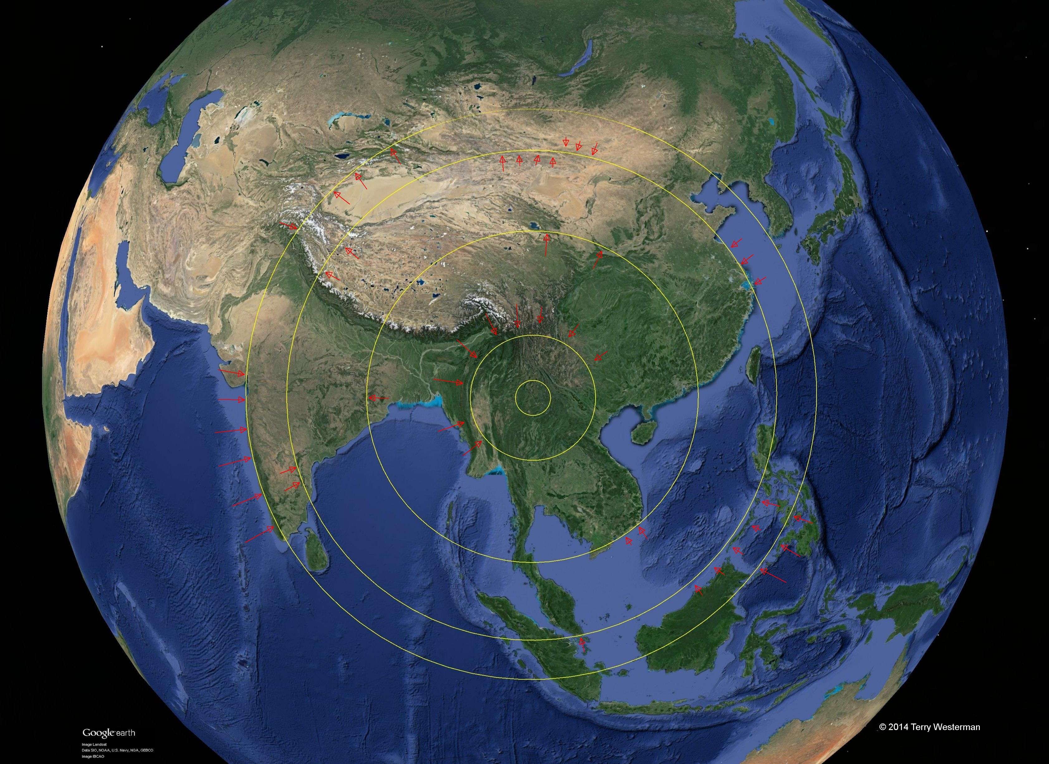
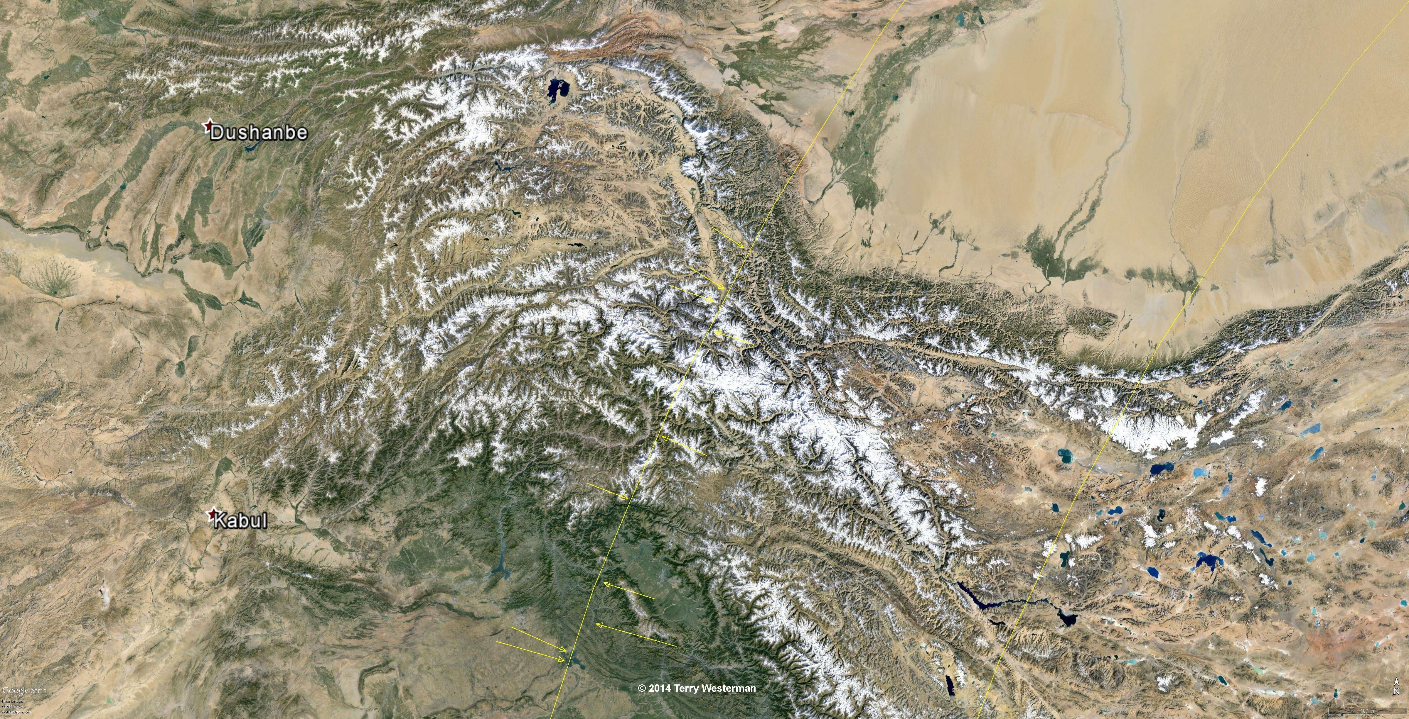
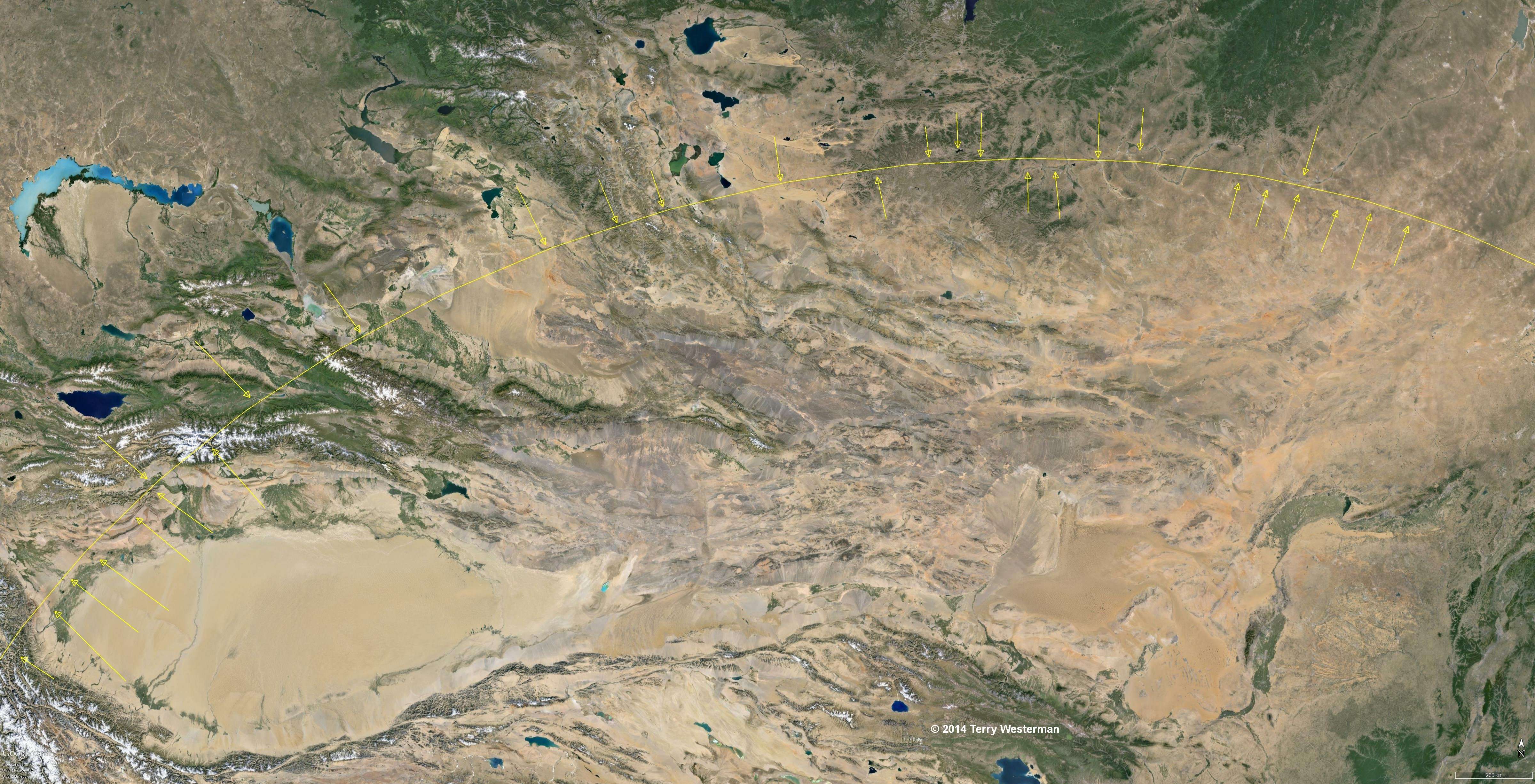
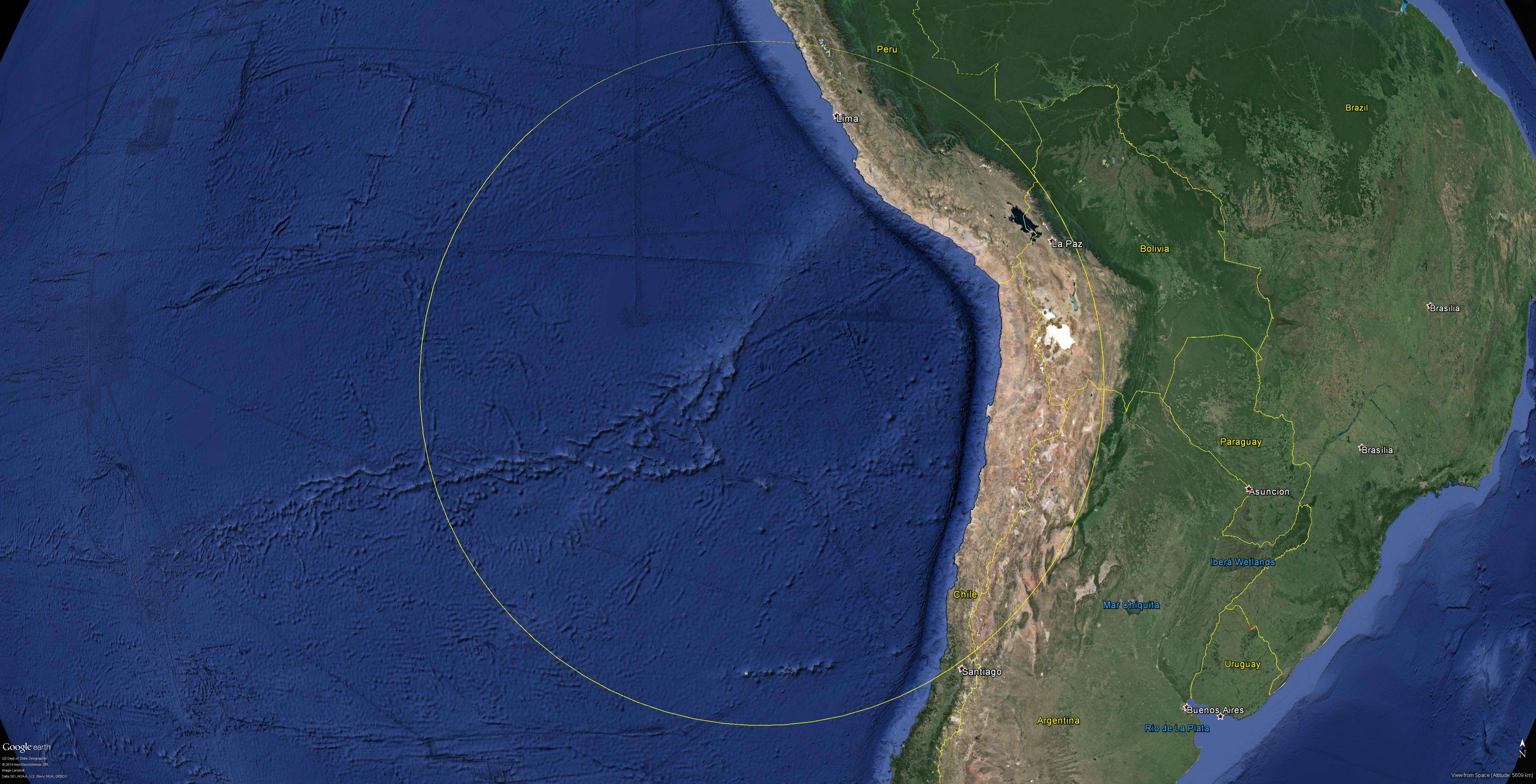
 The seismic circle at 1550 km radius. Primary areas of interest (circled in white) are detailed to the right. |
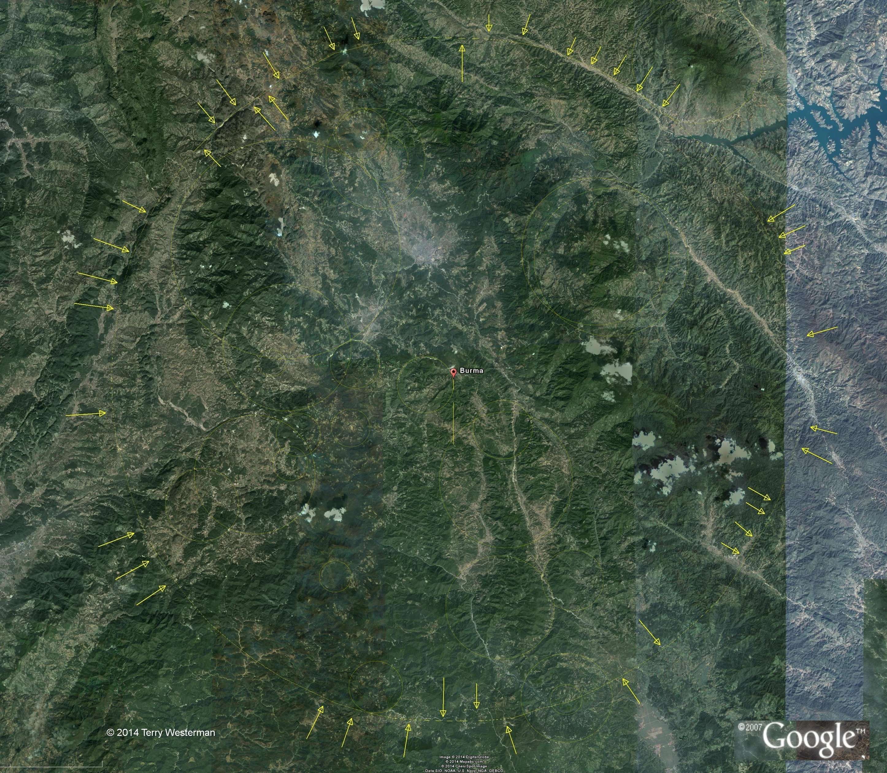
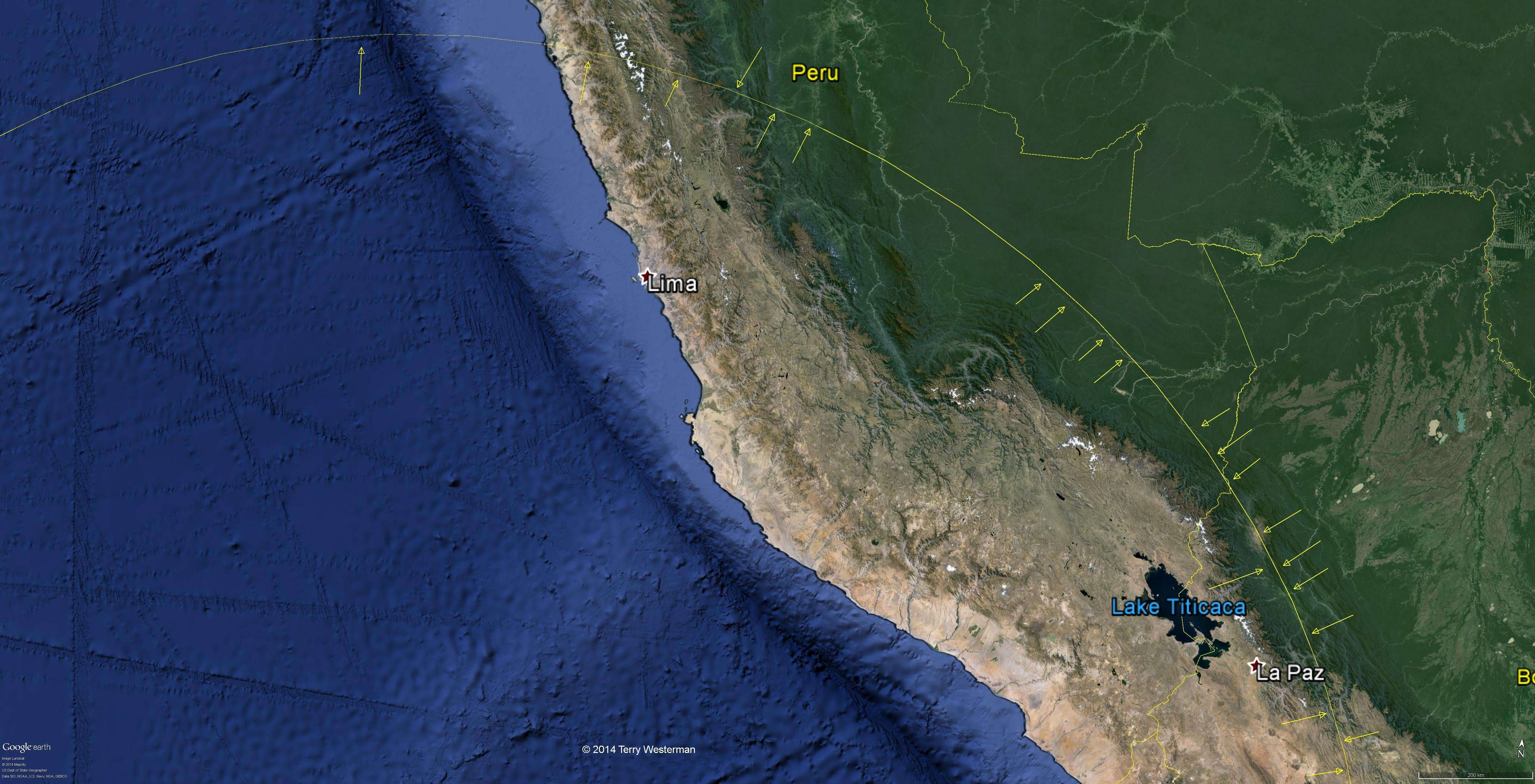
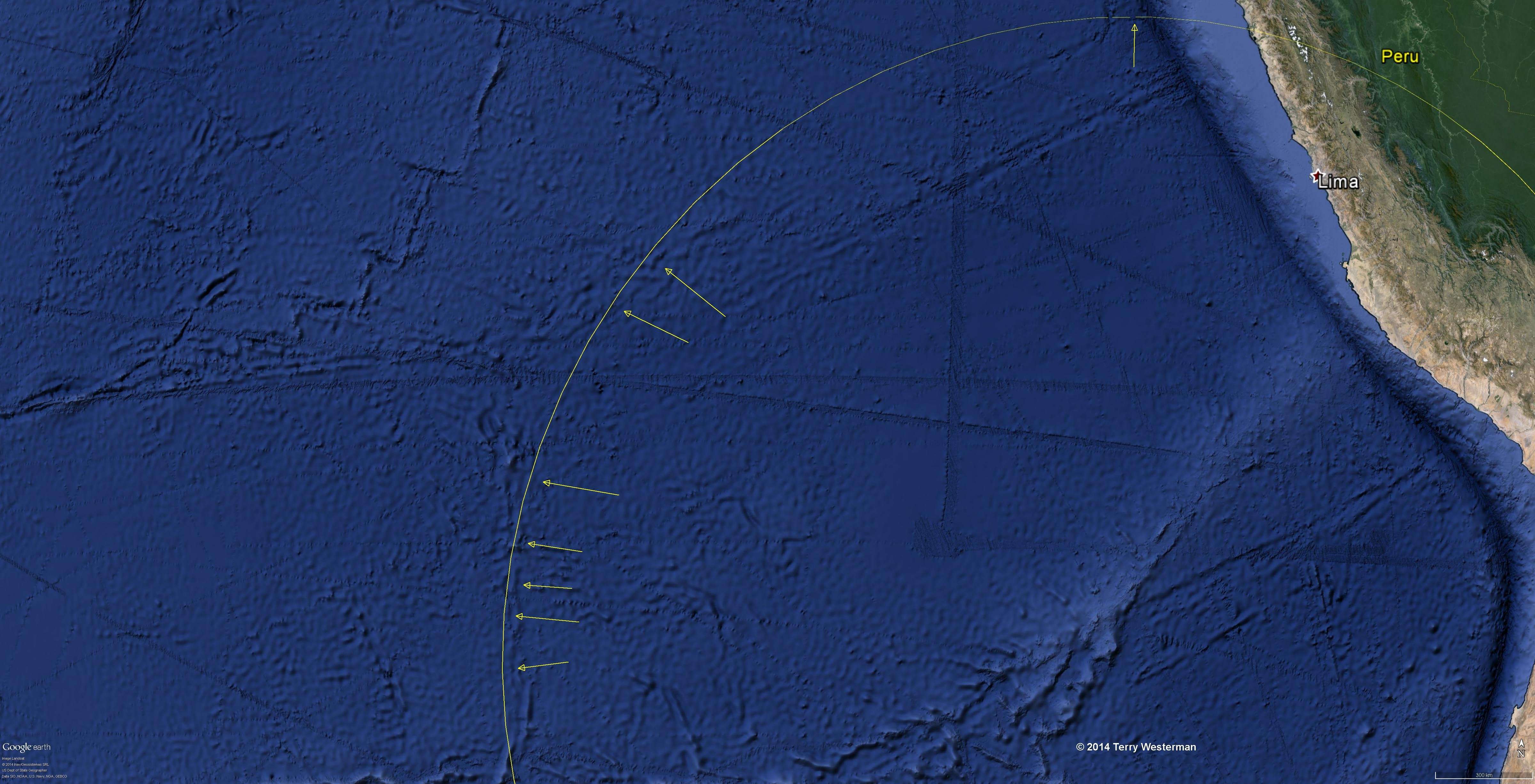
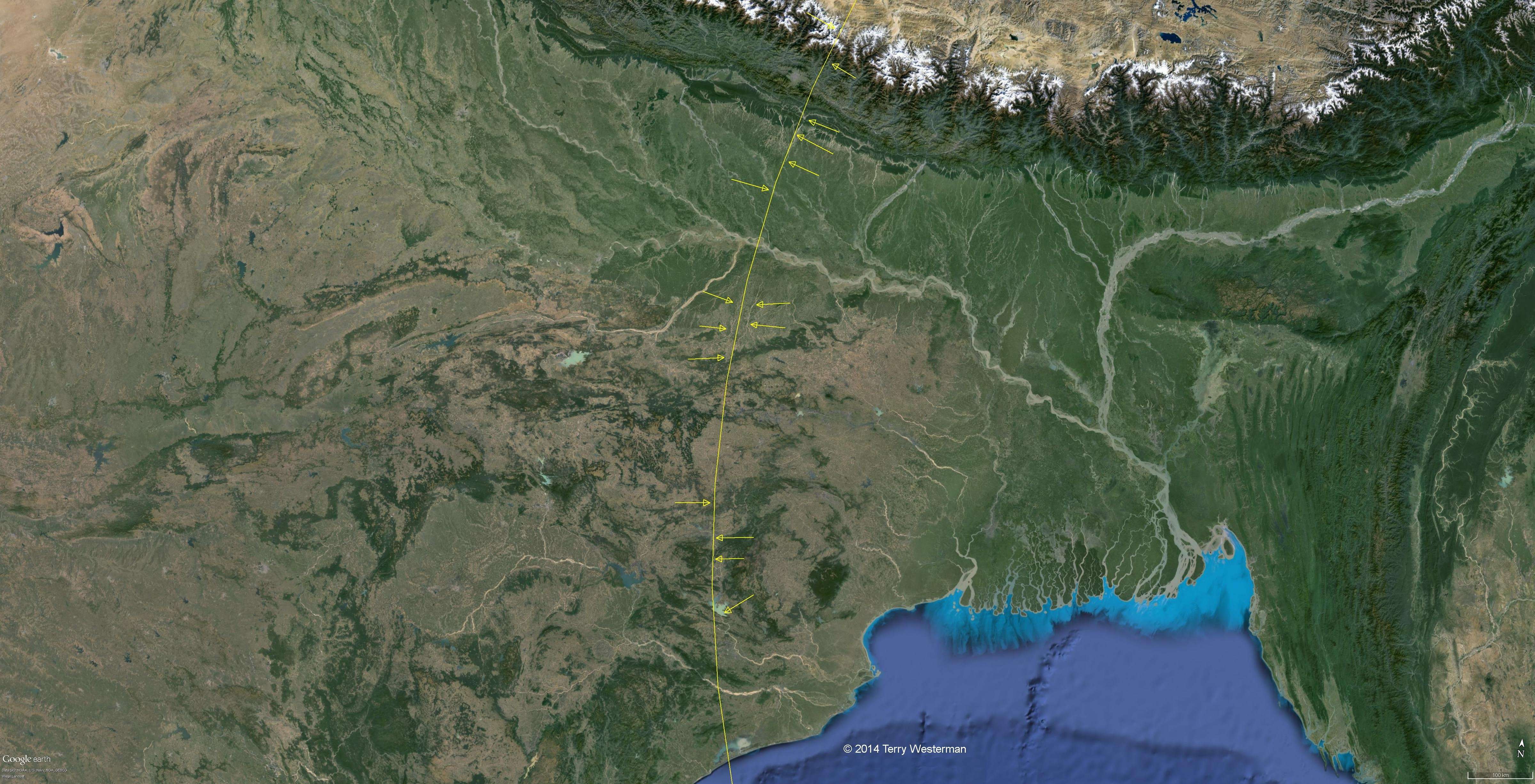 The western part of the Burma seismic circle at 1550 km radius. |
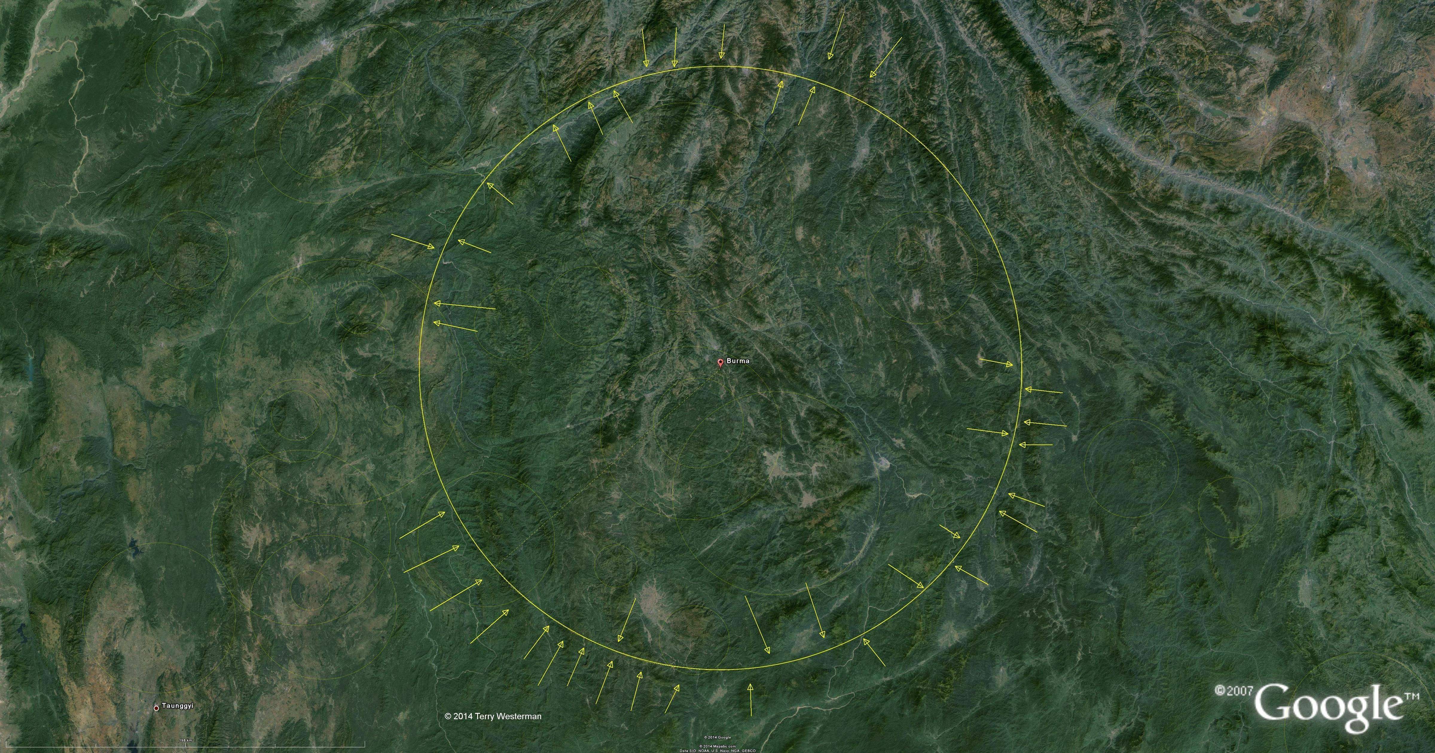
 The north western part of the Burma seismic circle at 1550 km radius. |
 The southern part of the Burma seismic circle at 1550 km radius. |
 |
 The Burma seismic circle at 2365 km radius. |
 The Burma seismic circle at 2840 km radius. |
 The western part of the Burma seismic circle at 2840 km radius. This circle defines the western coast of India. |
 The north western part of the Burma seismic circle at 2840 km radius. |
 The northern part of the Burma seismic circle at 2840 km radius. |
|
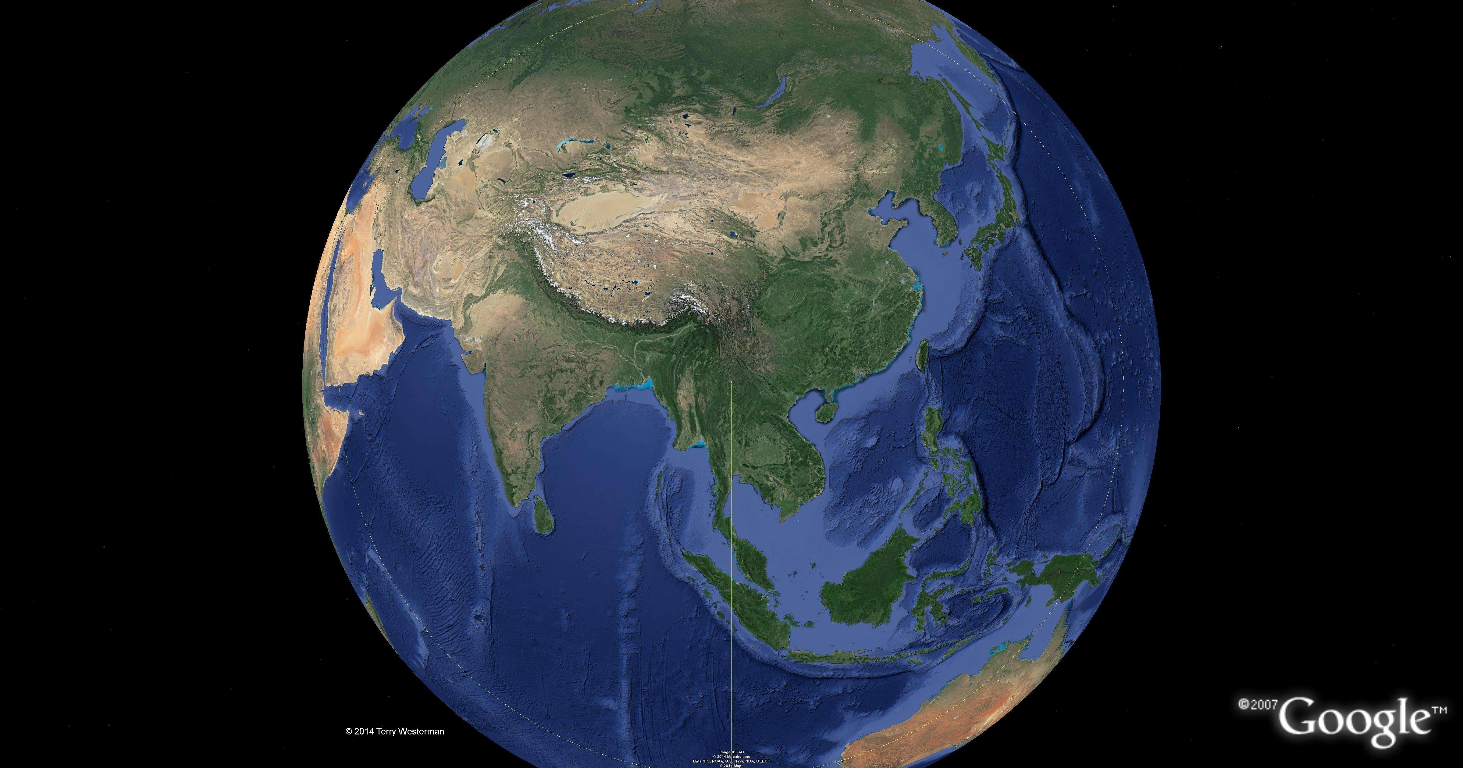 The Burma seismic circle at 5505 km radius. |
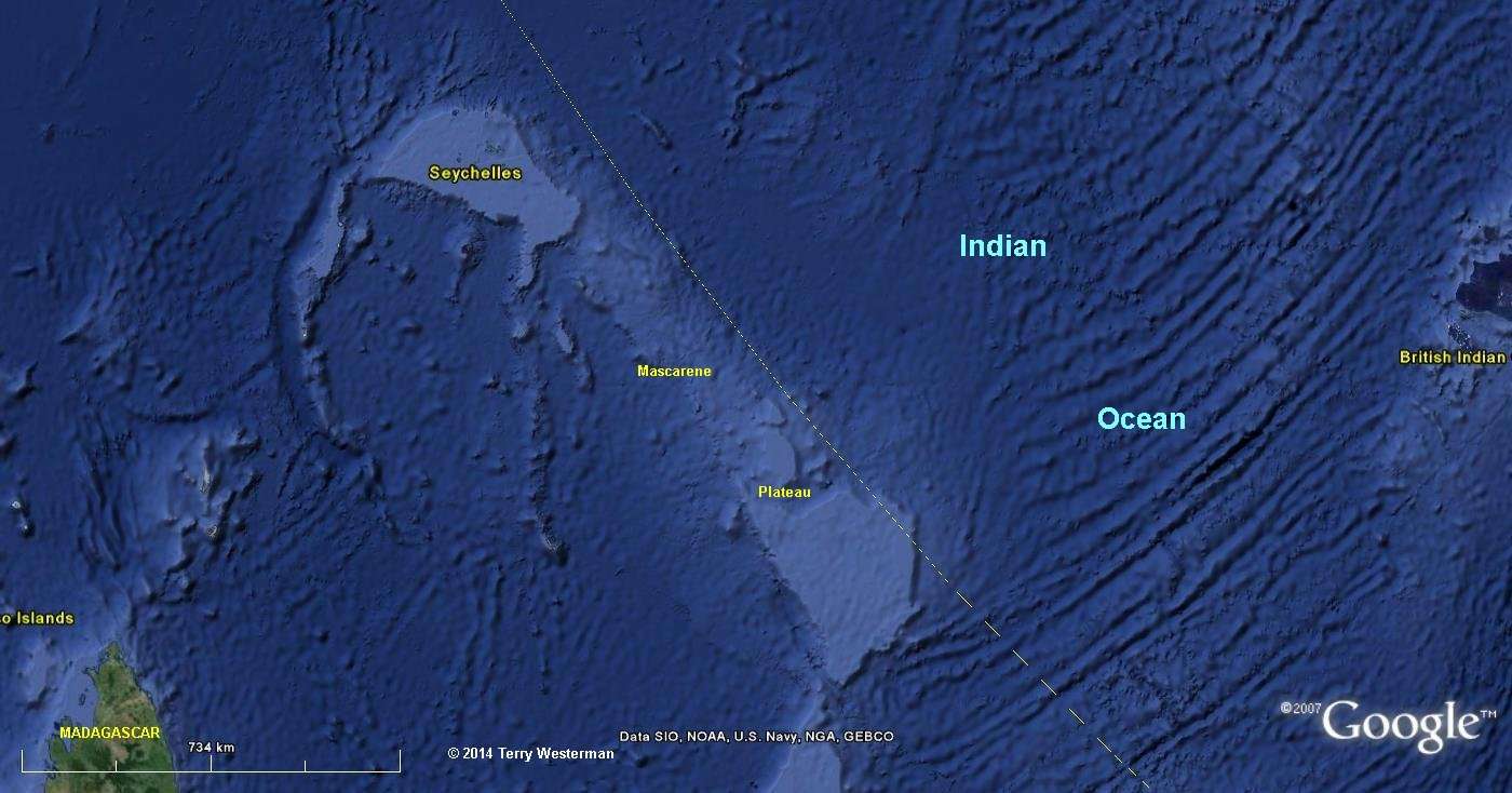 The southwestern part of the Burma seismic circle at 5505 km radius defines the northwestern edge of the Mascarene Plateau in the Indian Ocean. |
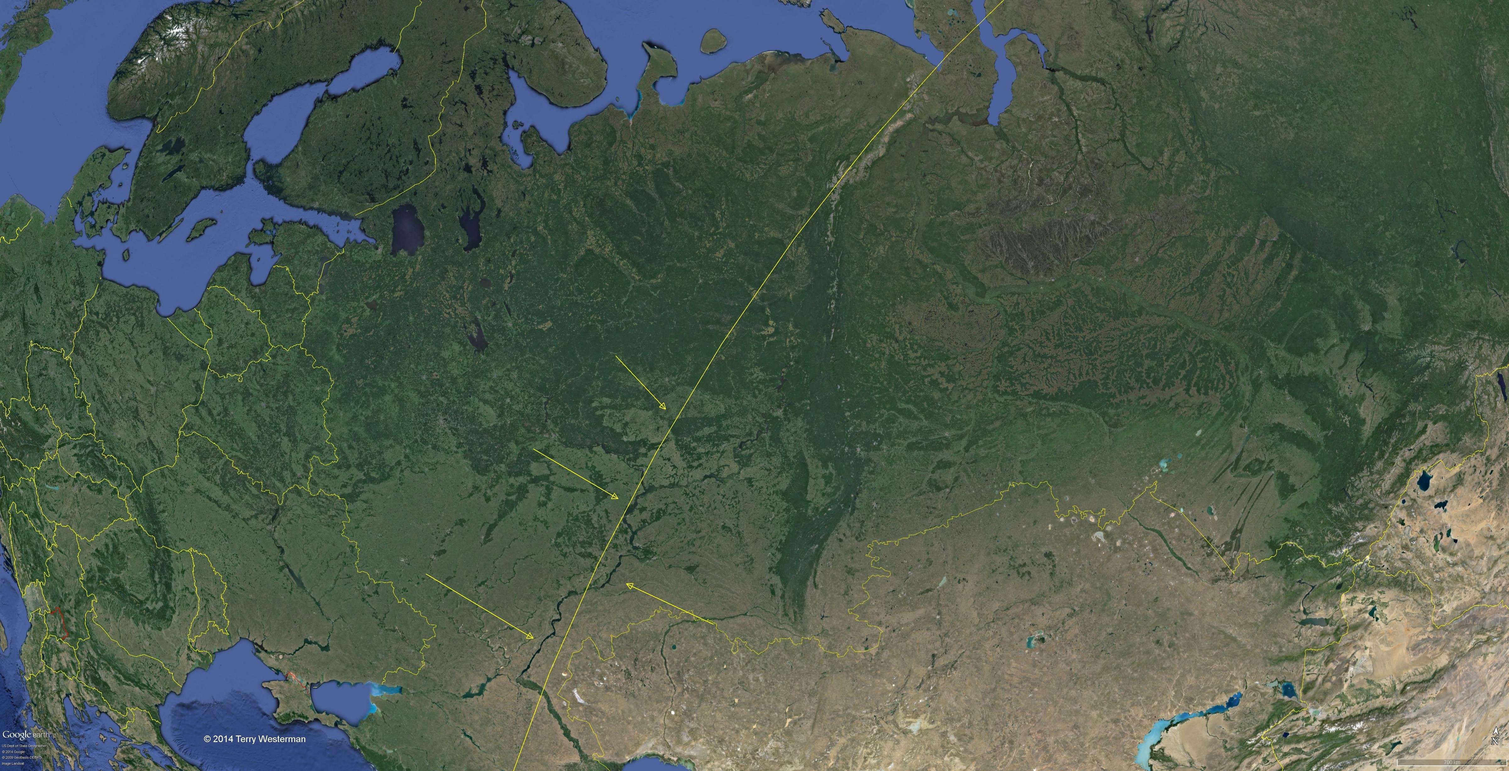 The northwestern swction of the Burma seismic circle at 5505 km radius. |
 The northeastern section of the Burma seismic circle at 5505 km radius. |
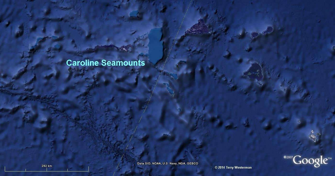 The southeastern part of the Burma seismic circle at 5505 km radius, through the Caroline Seamounts. |
 The southeastern part of the Burma seismic circle at 5505 km radius through northwestern Australia. |
|
 The Burma seismic circle at 6770 km radius. |
 |
 |
 |
 |
 | |
 The Burma seismic circle at 7025 km radius. |
|
|
|
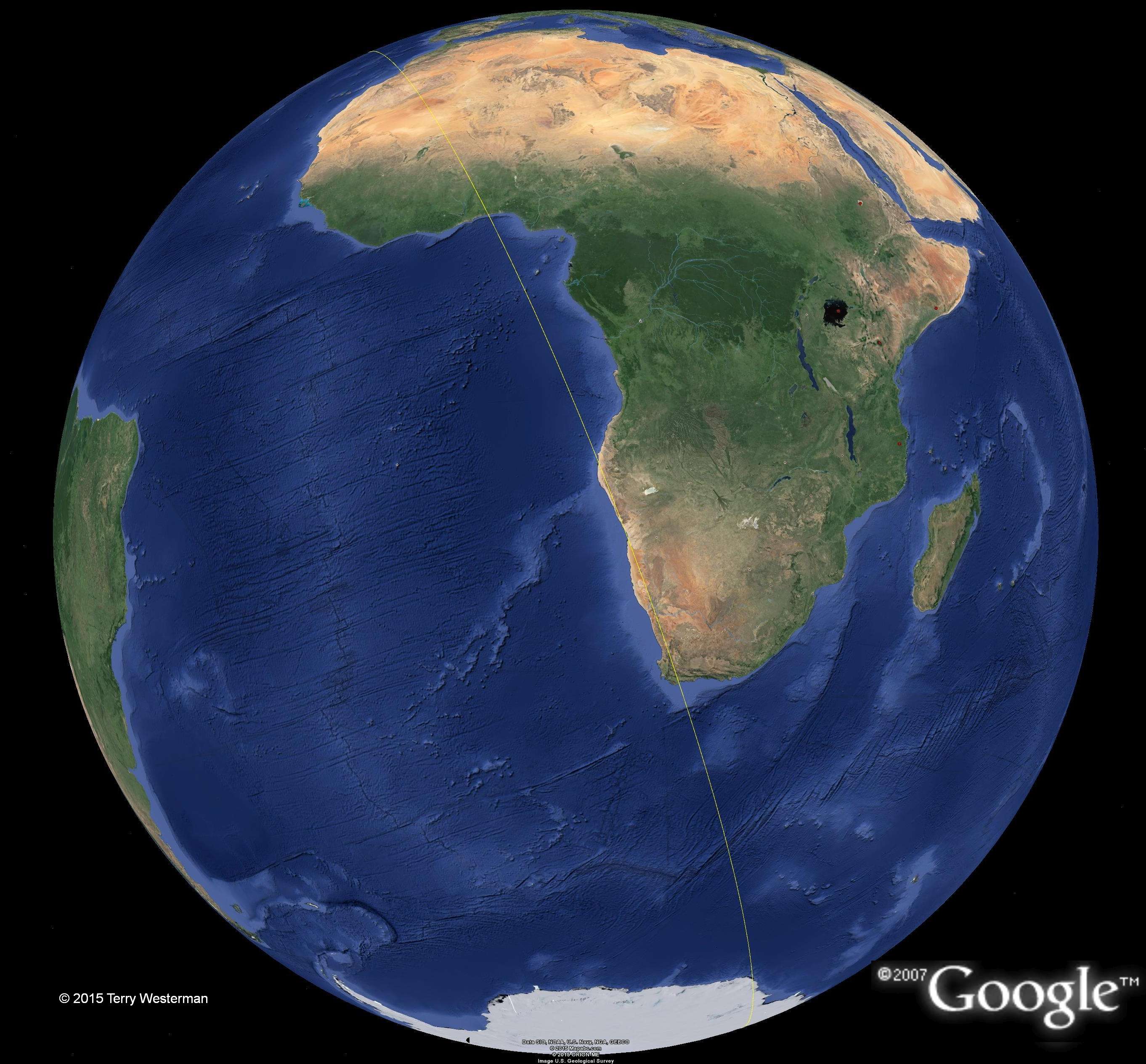 The Burma seismic circle at 10515km radius forms western South Africa. |
 This circle defines a part of the North Island of New Zealand, the Kermadec Trench, the Tonga Trench, and th Big Island of Hawaii. The Hawaiian Island chain is described by the 4545 mile ( 7330 km ) radius seismic circle from the Baffin Island Meteor Impact. That these two circles intersect at the big island is a plausible reason why the big island is bigger than the rest. |
|
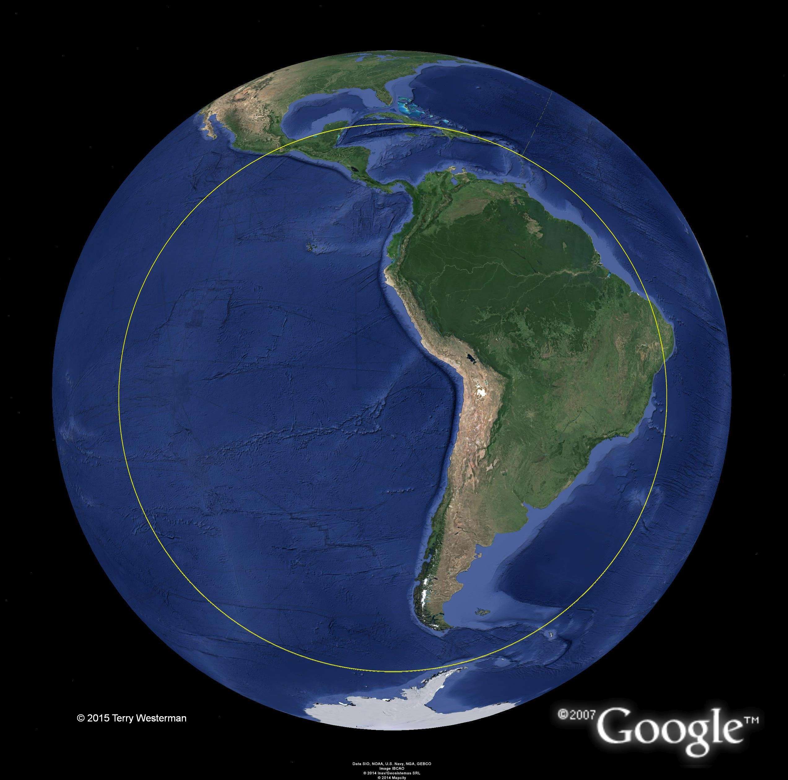
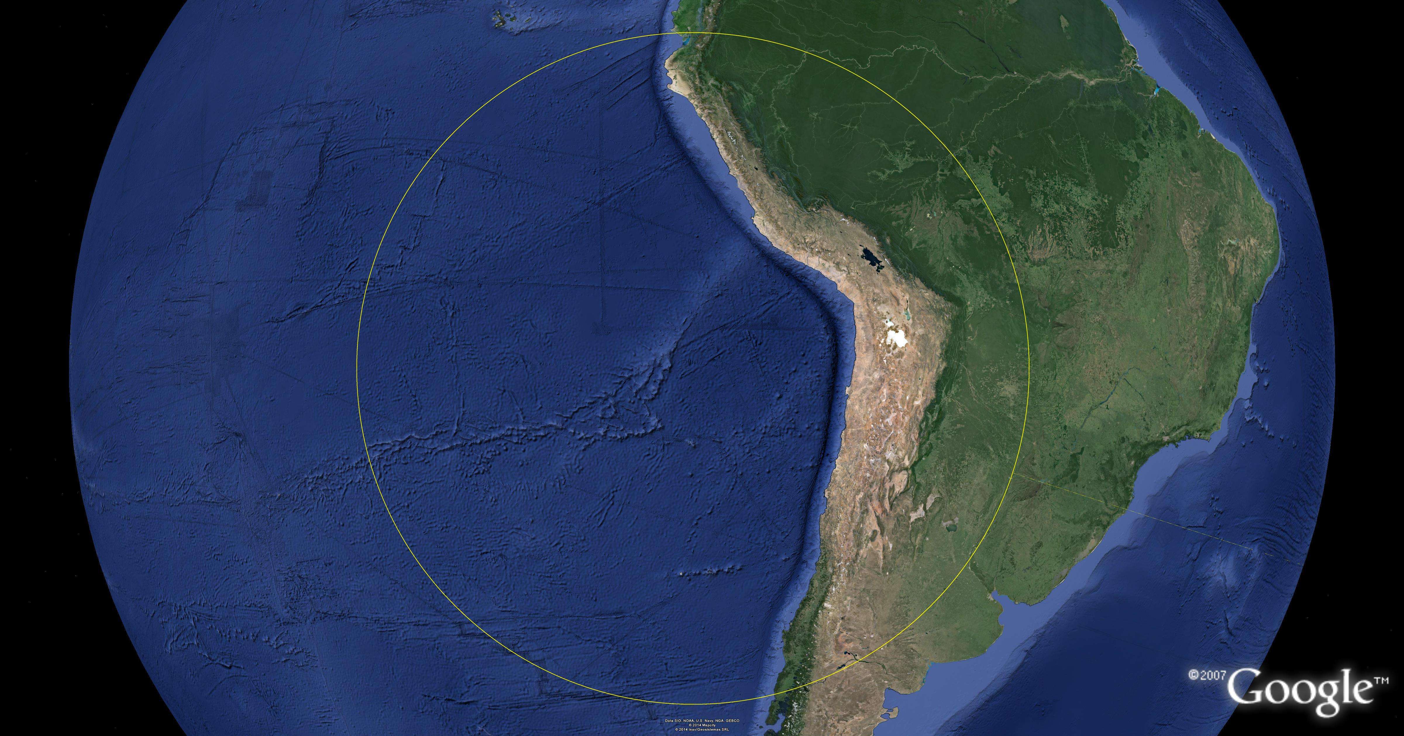
 The Burma seismic circle at 12465 km N. America. |
 The Burma seismic circle at 15280km radius. |
 The Burma seismic circle at 17825km radius. |
 |
 |
 |
|
 The Burma seismic circle at 18575 km radius. |
 |
 |
 |
 | |
 . . |
 The Burma seismic circle at 18850 km radius. |
 | |
|
© 2014, 2015 Terry Westerman |