The Flatirons
Boulder, Colorado
U. S. A.

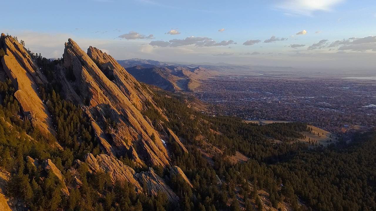
The Flatirons. This formation was caused by the actions of a Rayleigh
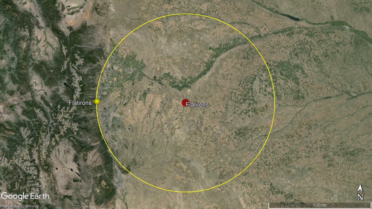
Wave emanating from a meteor impact centered 85 miles to the East.
This action is similar to the formation of the Rock of
Gibraltar at the western edge of the Mediterranean Sea.
Boulder, Colorado
U. S. A.


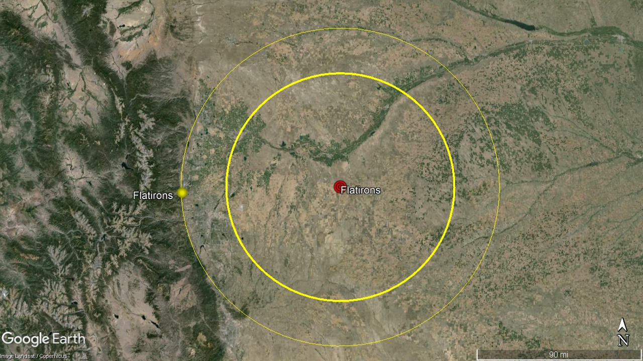
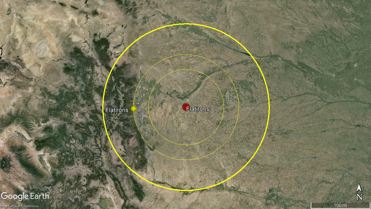
The Flatirons Meteor Impact was centered at 40° 0'37.50"N 103°40'57.34"W. The 85 mile radius seismic circle of the impact formed the circular arc of the Front Range in Colorado.
The kmz file for this seismic circle is HERE! Depending on your browser, the .kmz file will either save to disk where you can click on it, and it will open in Google Earth, or it will open in Google Earth directly. By oppening the .kmz file, you can examine this circle in detail. The file will open in the left hand column under Places, Temporary Places. Click the arrow to the left of the Flatrons 85mi.kmz file to expamd the placemarks. Clicking on the placemarks top to bottom will take you on a tour of the major features which mark this circle. If you wish, you can explore these features in detail, and others you may see along the way.

The Flatirons, looking to the North.

