Advisory
If you arrived here by any means other than from of the Index of Impacts,
it is suggested that you start at the Introduction to gain an understanding of what follows.
The Great Rift
Valley
of
Eastern
Africa
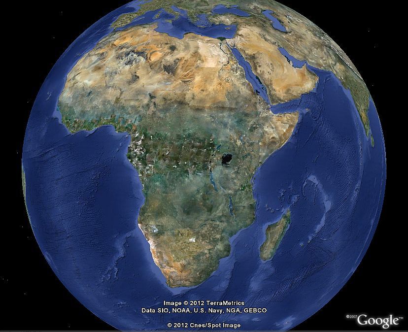
Africa is a huge continent. The eastern side is dominated by The
Great Rift Valley.
The Great Rift Valley of Eastern Africa.
It is theorized that the continent is splitting apart here.
However, the following works depicting the various meteor impacts,
and the surrounding concentric seismic circles, disputes this
theory. If this area was splitting apart, then the seismic circle
lines would be broken, and the distance they are broken would be
the distance the land masses have moved since the impacts. If you
follow the links below, you will see that the circles are not
broken. If they are not broken, then any land mass movements must
have been before the impacts.

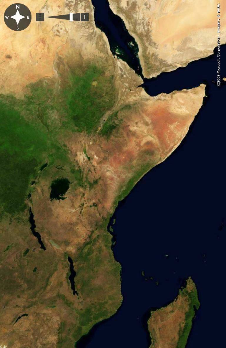
The Great Rift Valley of Eastern Africa is shown by the many
markers denoting volcanoes.
This area was formed by seven large impacts, and an untold number
of others. The image below shows the primary seismic shock wave
from these impacts, and how they align the volcanoes of the Great
Rift Valley. This image is linked to a larger image 2343 pixels
wide to see greater detail.

This shows the seven major impacts and their primary seismic
circles that define the Great Rift Valley. This is the first
circle, the big one caused by the main impact. These impacts are
named by what is closest to the center of impact. There are other
seismic circles, both closer to the center and farther away. As
well, there are numerous other impacts that affect this area, both
larger and smaller.
These seismic
circles expand across the land, forming hills and valleys. This is
how the geography of the land was formed, impact after impact.
These things are described in the following pages which show why a
large part of Africa is as it is.
From the top:
Tana Lake at 260 miles radius
Mogadishu
at 540 miles radius
Lake Victoria at 220 miles
radius
Kilimanjaro
at 570 miles radius
Mambi at 375 miles
radius
Mayka at 460 miles radius
Mueda at
360 miles radius
Visit the
Index
of Impacts
For a more detailed
explanation of these pages see the
Introduction
Comments,
information, discussion, e-mail me here:
twest@geoledgers.org
© 2012,2021 Terry Westerman