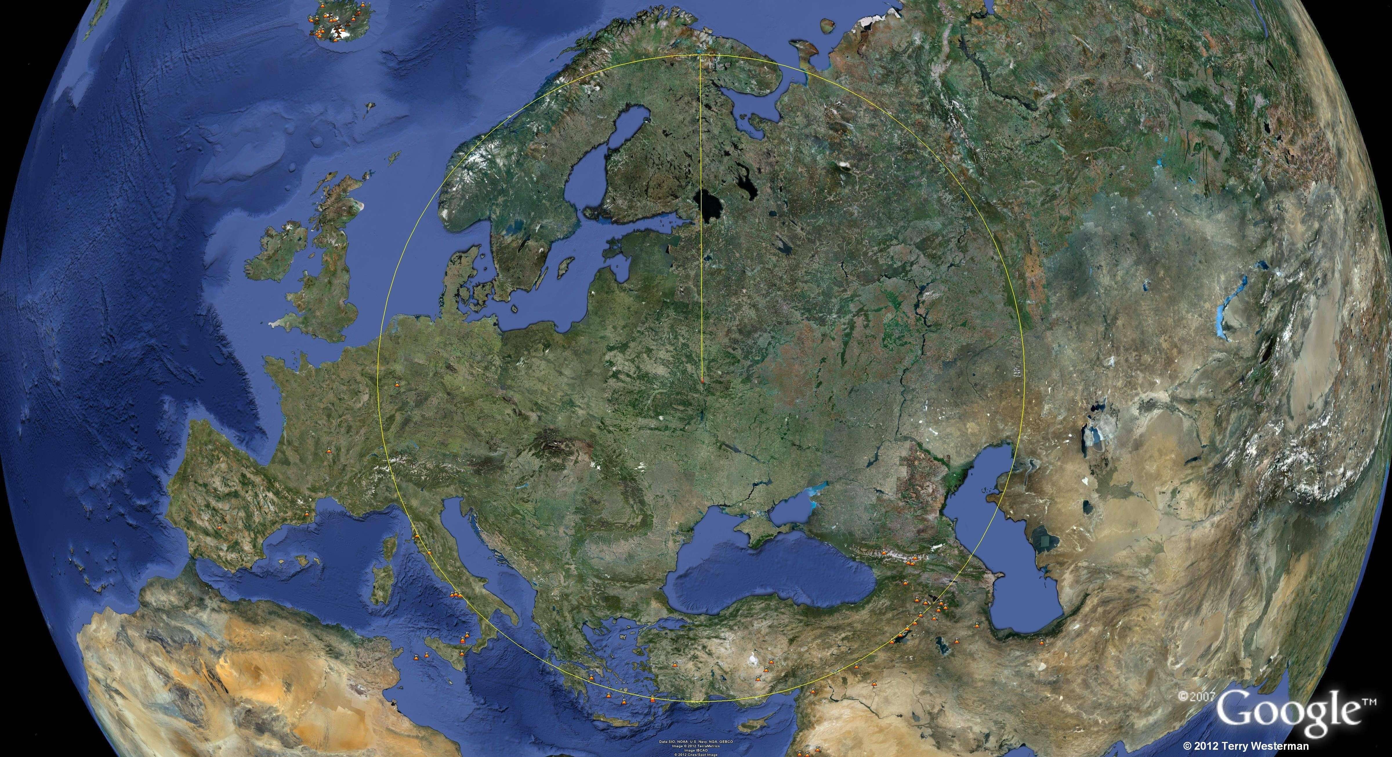
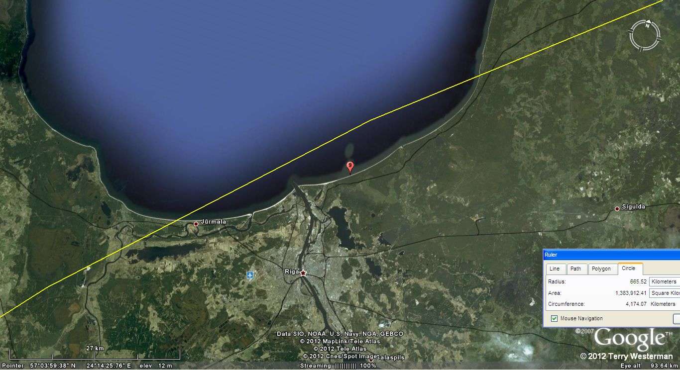
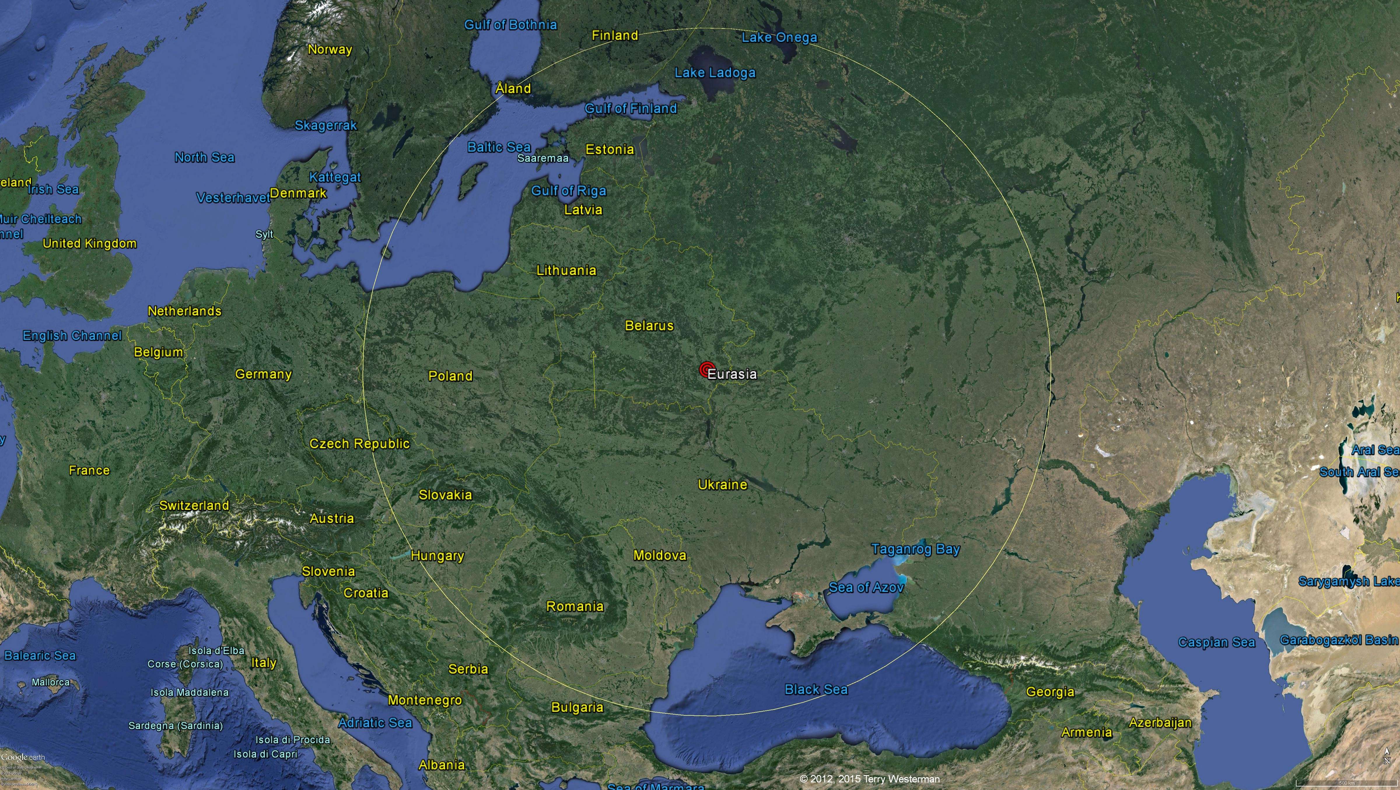
The seismic circle at 1075 kilometers radius. Linked to a hi res
image.
|
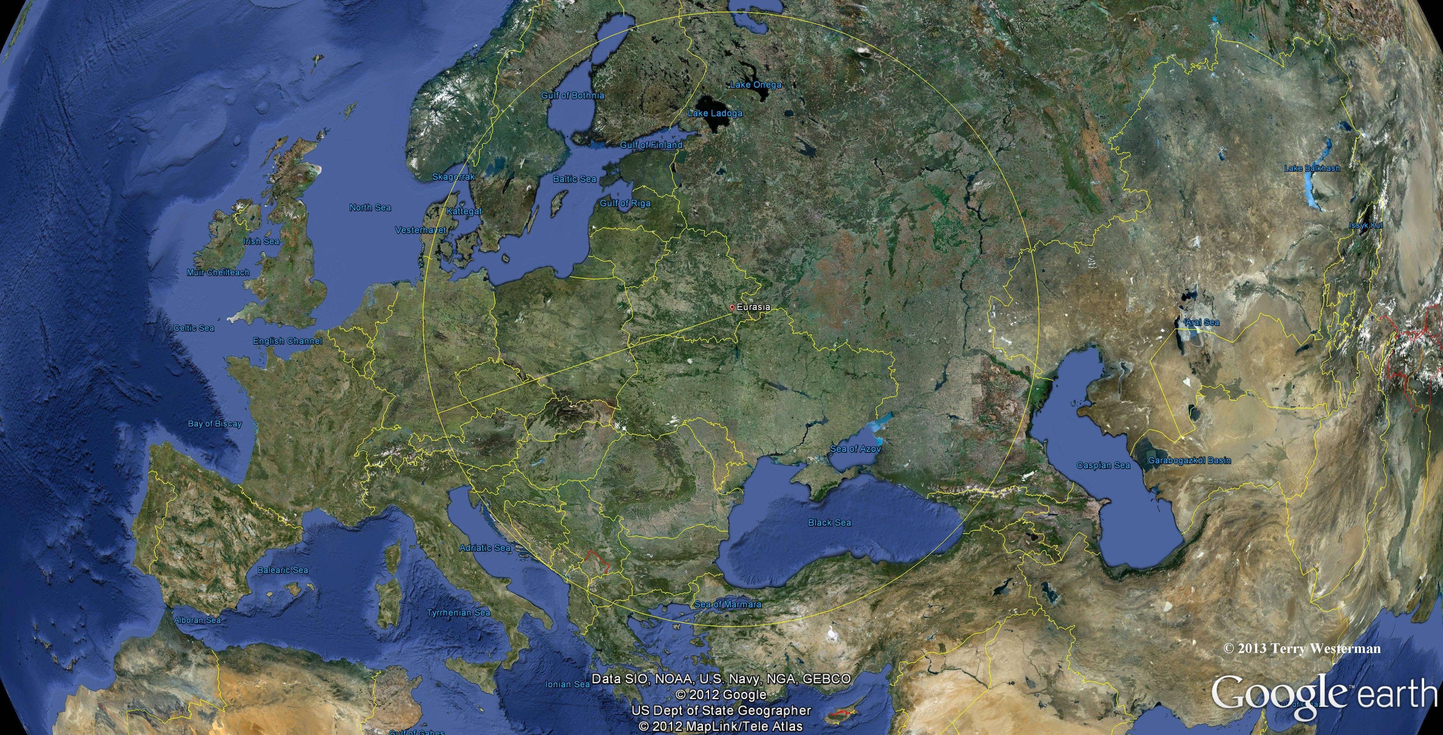
The seismic circle at 1075 kilometers radius
to the Northeast through Russia. Linked to a hi res image. |
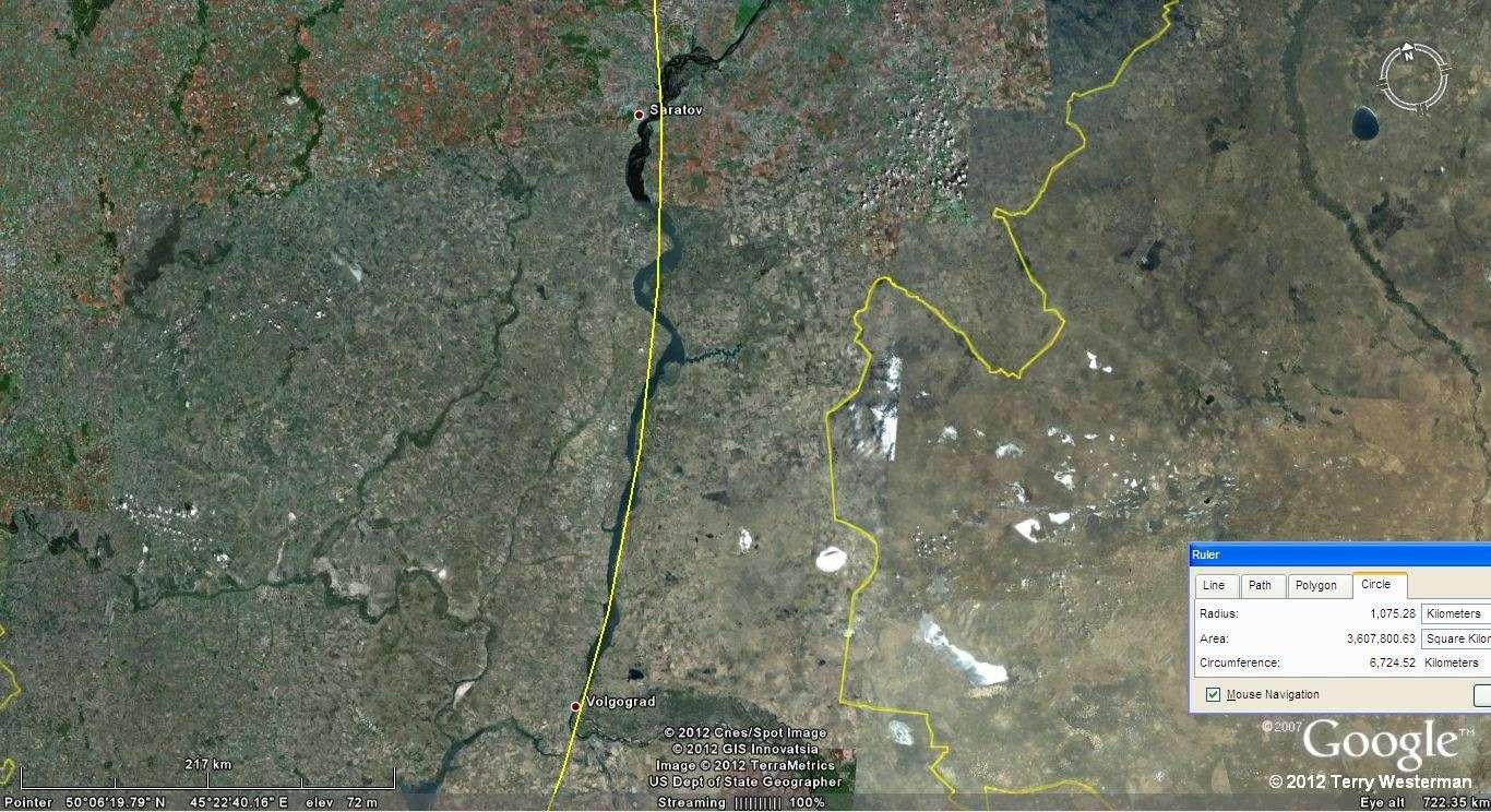
To the East southeast, the seismic wave
created the valley which the
Volga River follows for 380 kilometers between the cities of Saratov
and Volgograd. |
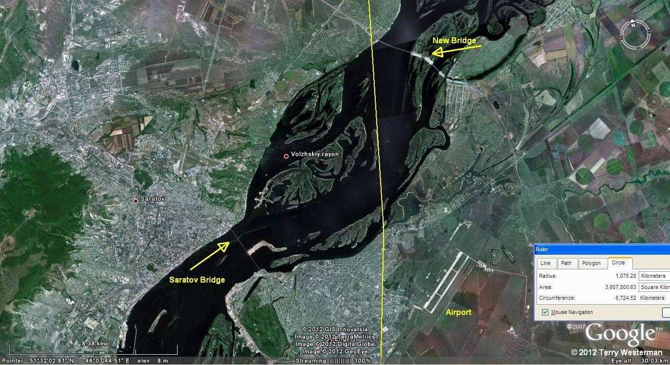
At Saratov, Russia the Saratov
Bridge
is marked. This was the longest bridge in Russia when it was
completed in 1965. In 2009 a new bridge was completed north of there
with a total length 12,760 meters (41,860 ft). Note the
proximity of these bridges and the airport to the circle line. It is
shown many times through out these pages that the engineers and
designers if these huge projects have found sites that fall on the
seismic circle line to be the best suited for their purposes. They
decided on these sites without prior
knowledge of the seismic circle. |

North of Volgograd is the Volga
Hydroelectric Station which harnesses the waters of the Volga River
before it flows into the Caspian Sea. |
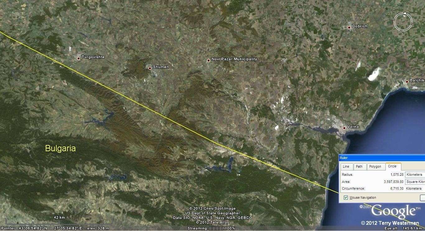
At the western edge of the Black Sea the
circle passes through Bulgaria. |

This is the Danube River that forms part of
the boundaries between
Romania, Serbia and Bulgaria. Two Hydroelectric power dams are arrowed,
Iron Gate I, and Iron Gate II. Iron Gate I is shown to the right. |

The Iron Gate I Hydroelectric Power Dam on the Danube River. The
yellow line shown here is the border between Romania and Serbia. This
dam
is about 25 km northeast of the shock wave circle (2.3% of the radius)
and lies in a deep gorge which separates the southern Carpathian Mountains from the
northwestern foothills of the Balkan Mountains. |
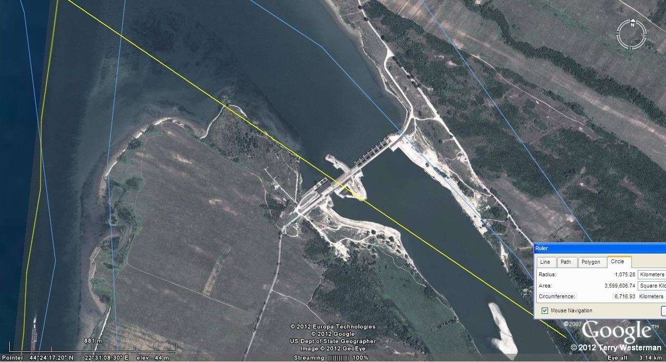
The Iron Gate II Hydroelectric Power Dam on
the Danube River lies
directly on the seismic circle. |
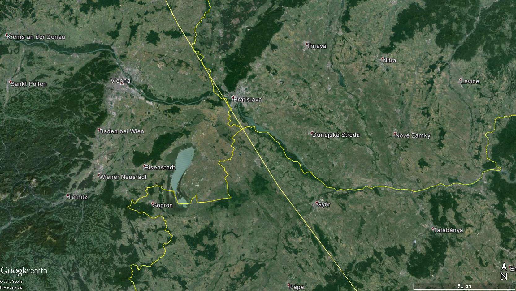
To the West southwest, through Bratislava,
Slovakia.
|
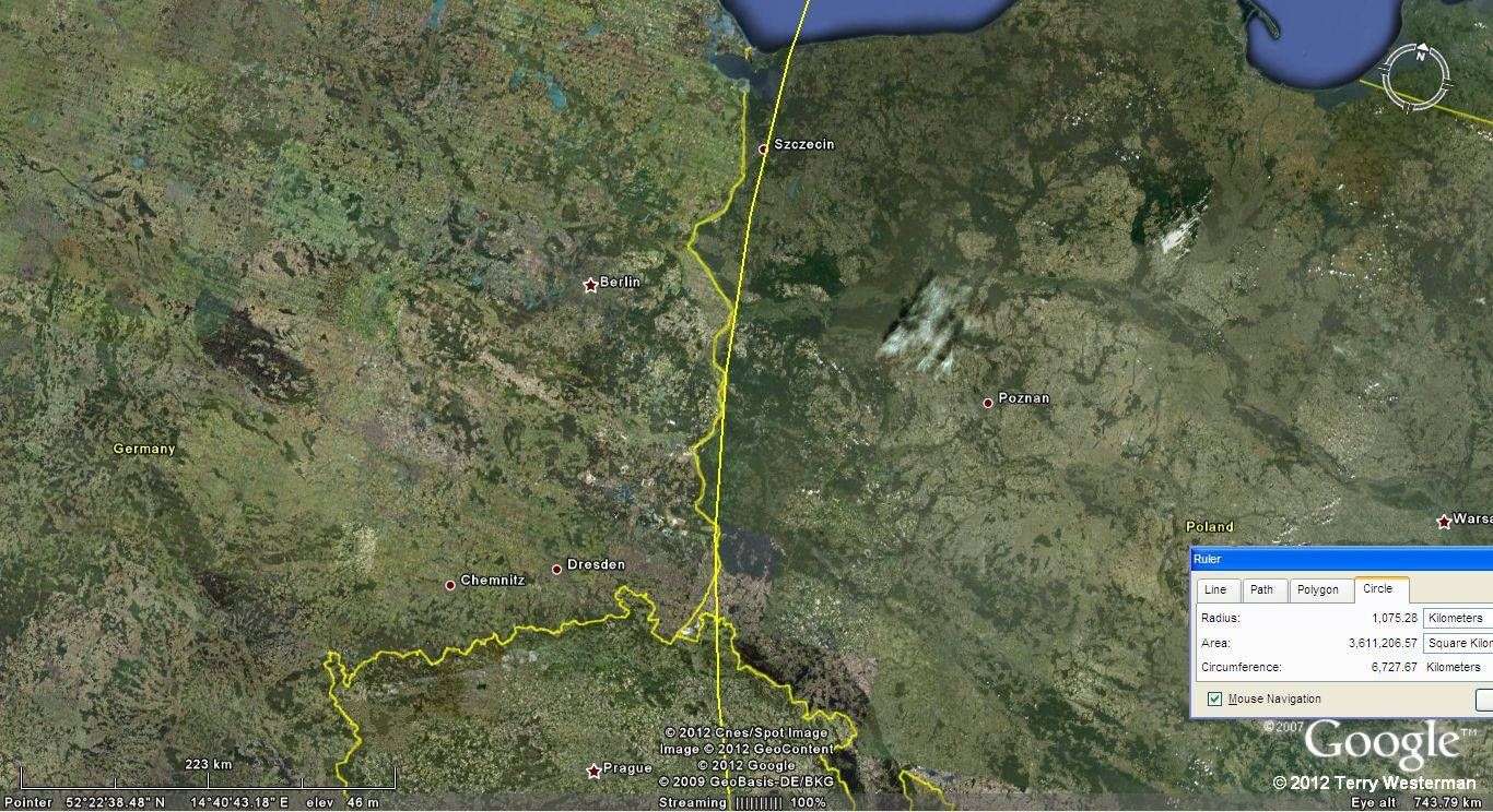
To the West northwest, the circle provided the
valley for the Oder
River, which forms the border between Germany and Poland. A portion of
the city of Szczcin, Poland is shown to the right. |

At the city of Szczcin, Poland, there is a
major seaport with a
considerable railroad system that was built on this seismic circle. |

|
|