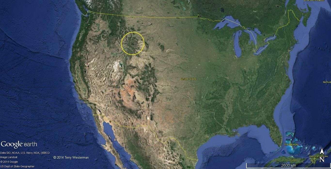
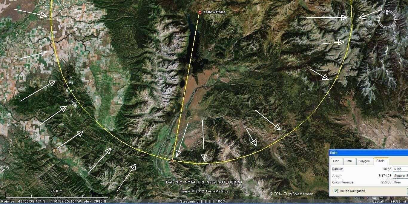
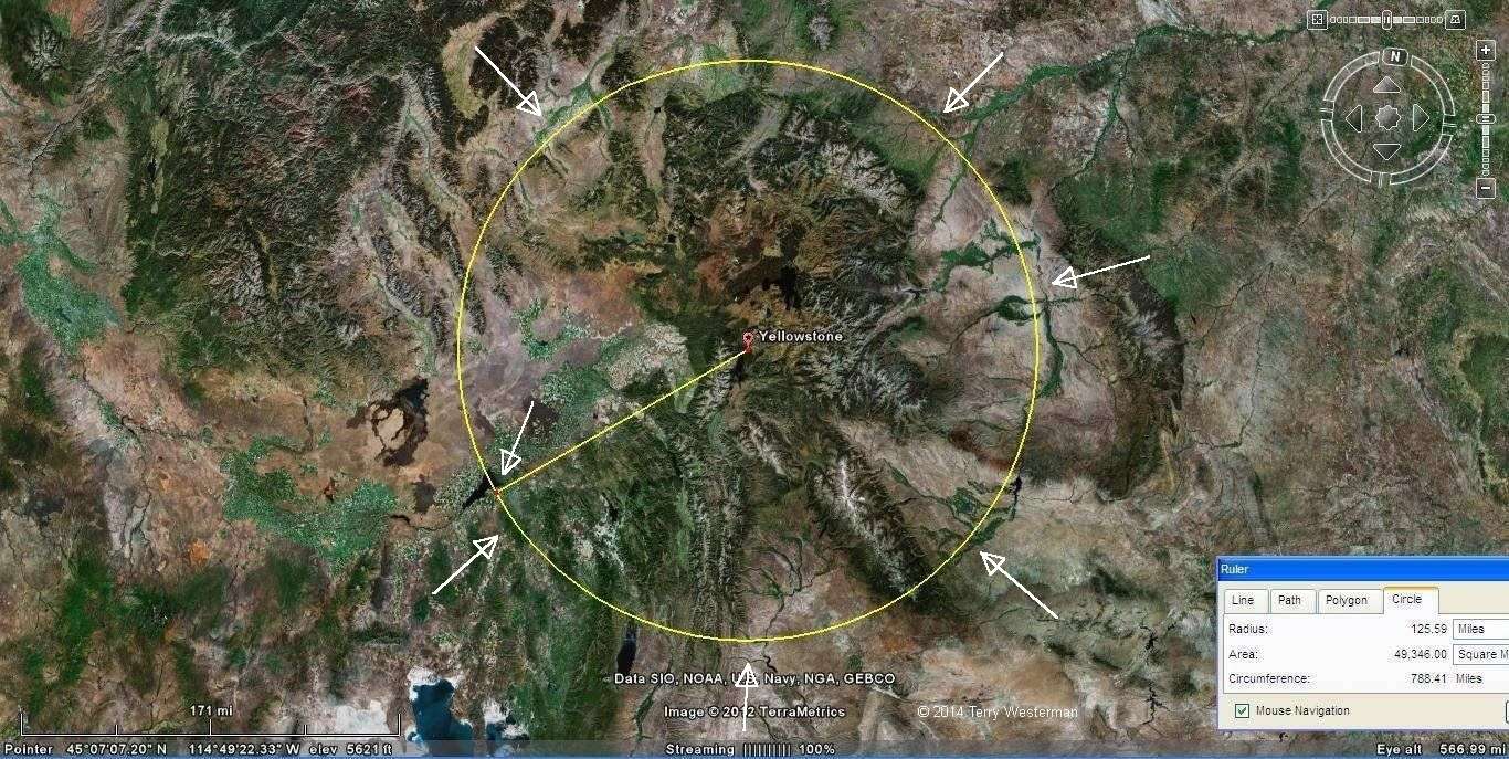
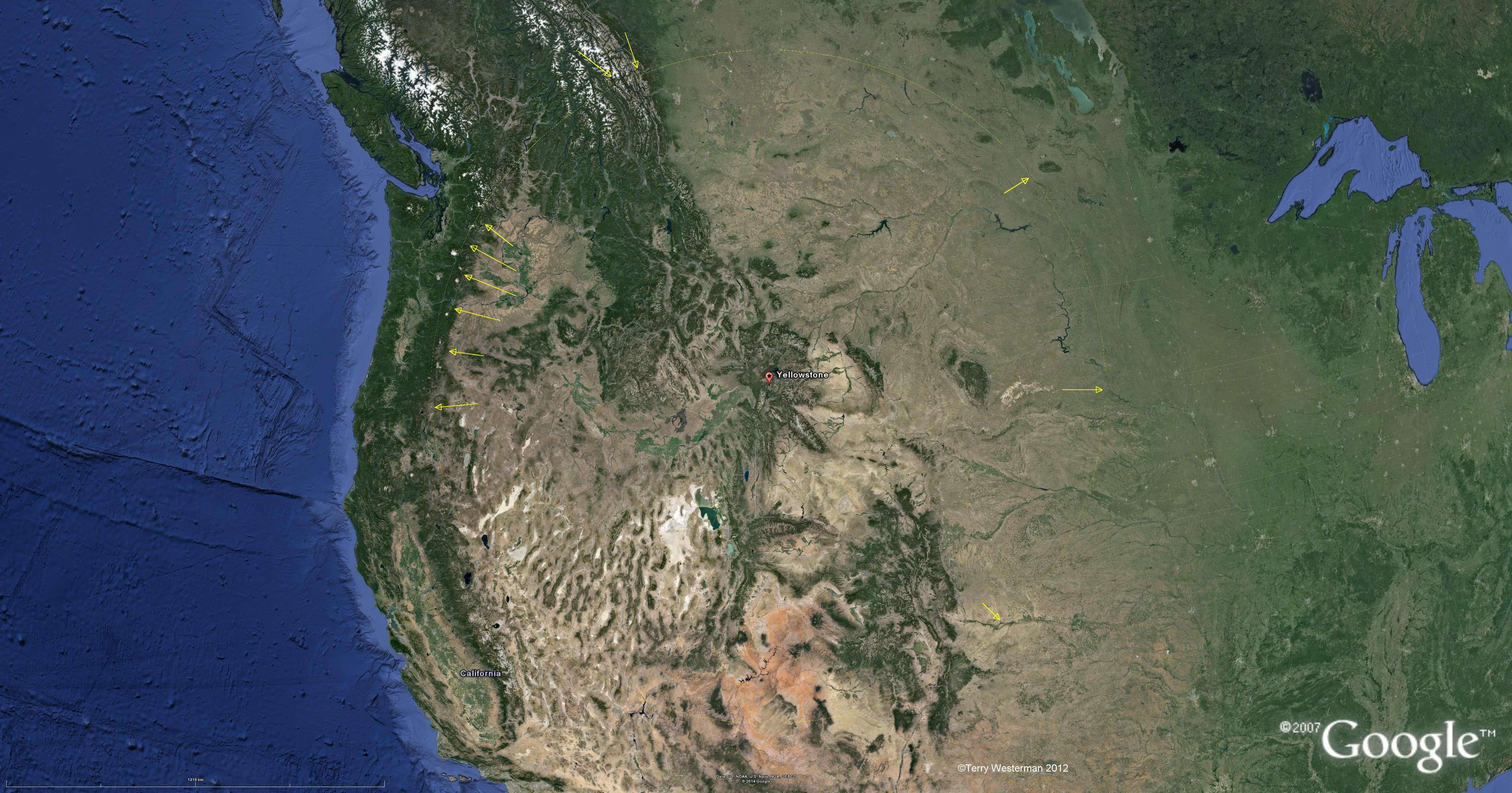
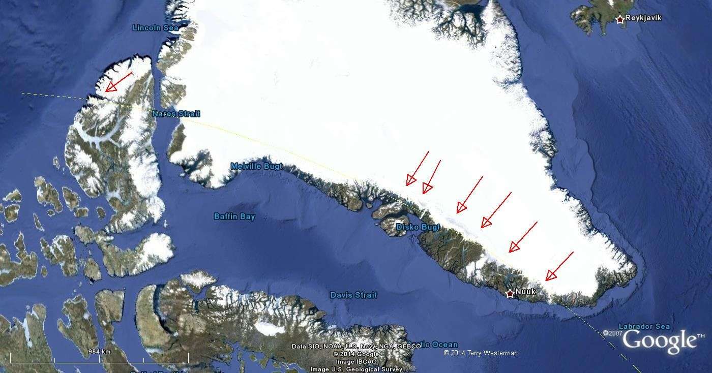
Yellowstone National Park (circled) is a huge volcanic cauldron that sees millions of visitors each year. It is full of hot springs and geysers and is being constantly monitored for underground magma flows. It appears to have been made by a large asteroid which broke the crust of the Earth. This allows water to seep in, get heated, then be blown back out again. The actual strike point is at the south western part of the park, such that the asteroid came in from the southwest at a steep angle. This accounts for the raised mountains in the northern part of the impact site.
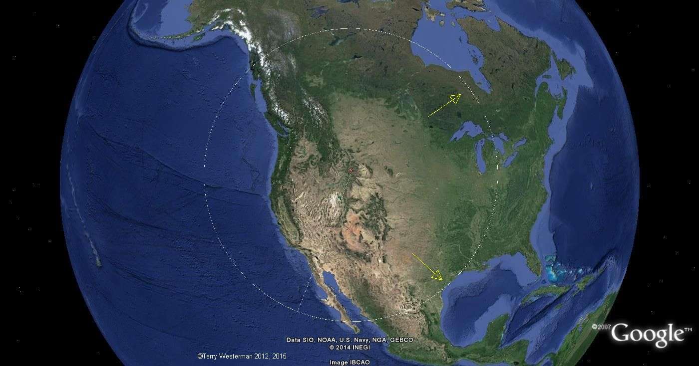
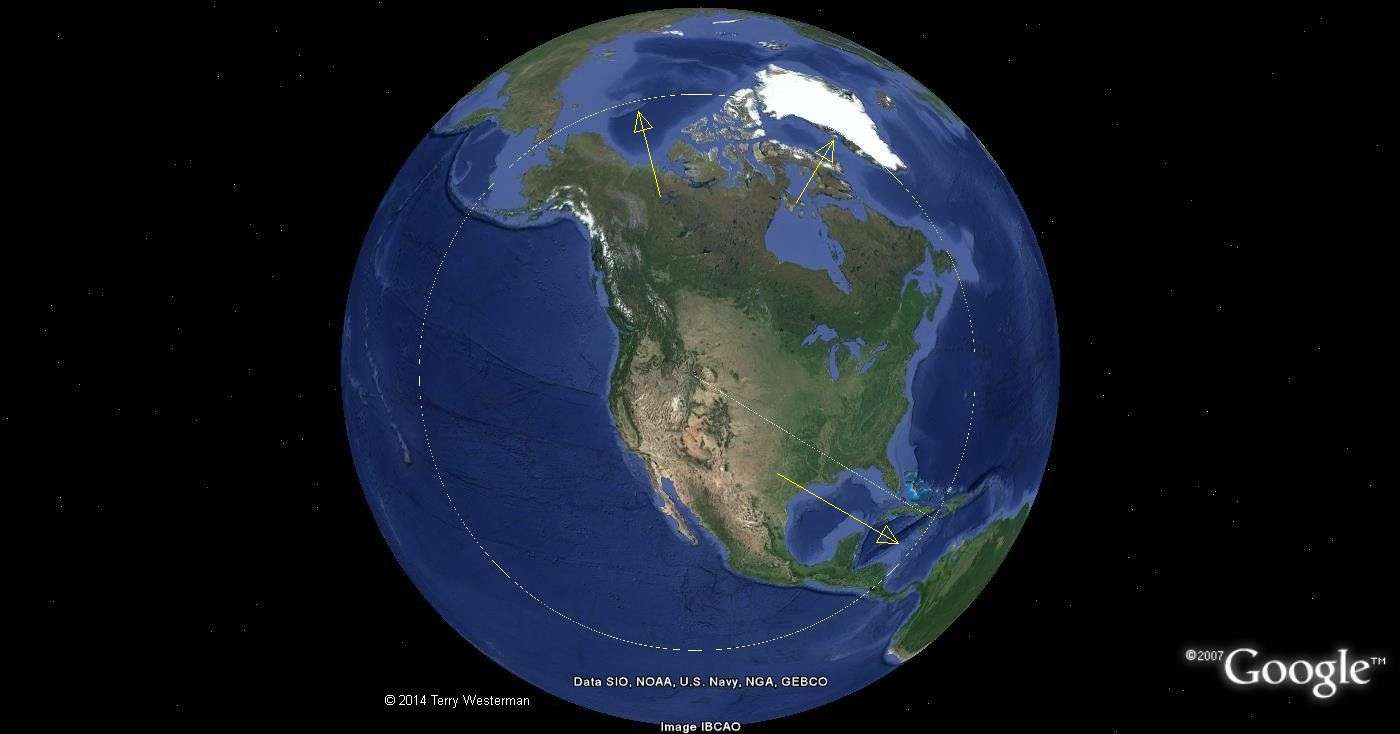
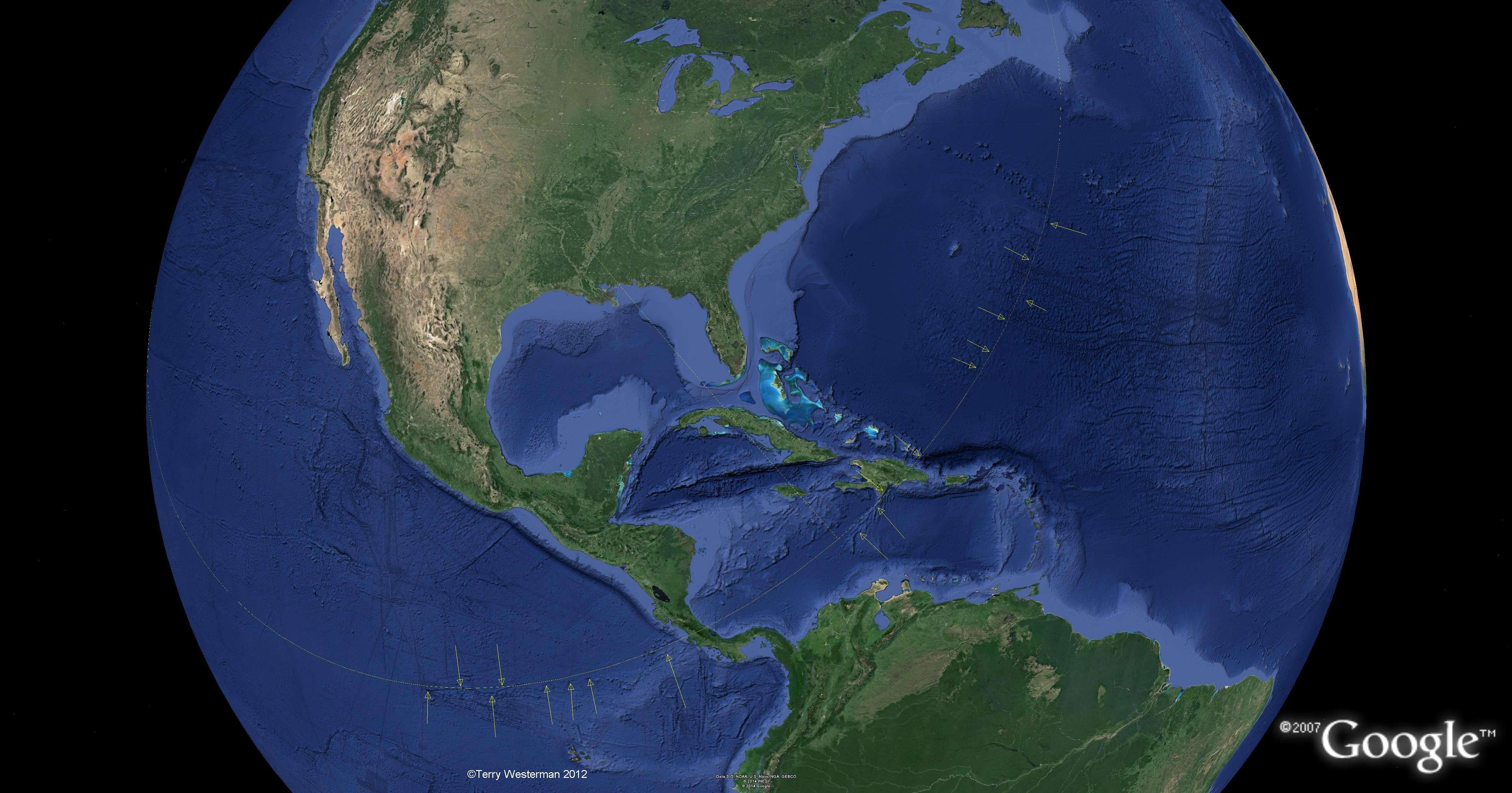
The asteroid was probably large, dense and fast moving to account for the high surrounding mountains and the relatively small crater. Rather than blowing material in all directions to make a ring of hills or mountains, it put an indentation in the crust of the Earth. This impact is notable for the likelihood that it caused the crack in the Earth which accounts for many of the volcanoes of the Cascade Mountains and the San Andres Fault in California, from which frequent earthquakes occur. It also seems to have aligned the southeastern coast of Texas. These are shown below.
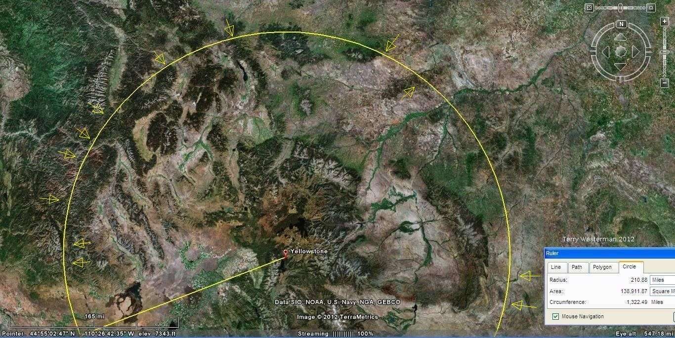
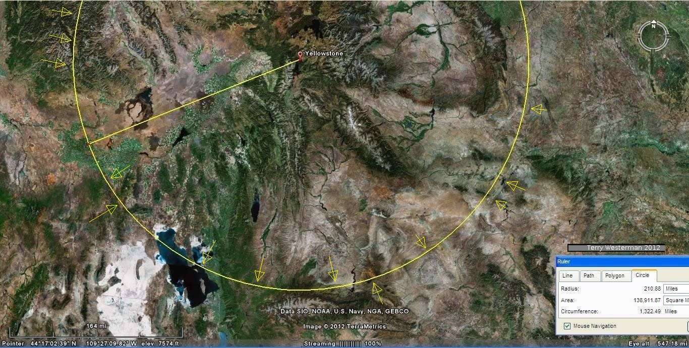
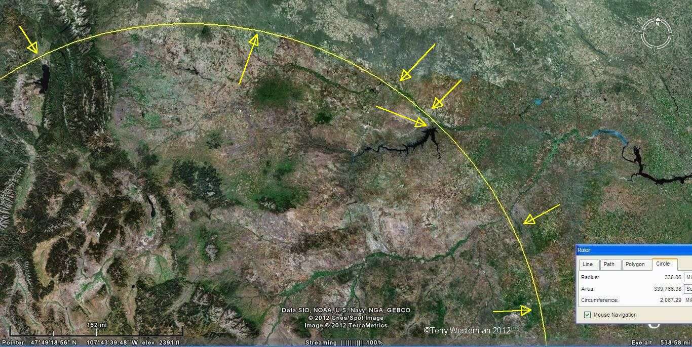
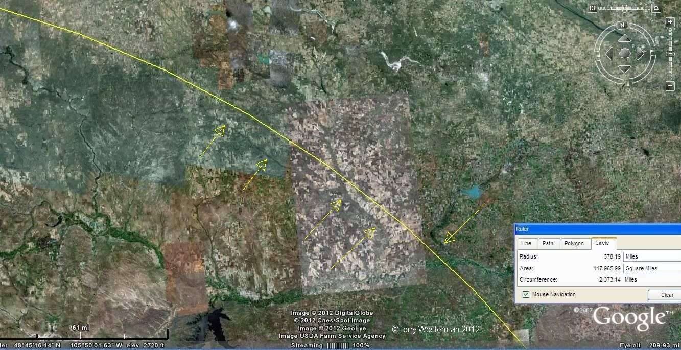
What we are looking for with the seismic circles below are geographical features that closely align with the circle. These features were caused by the circular seismic shock wave created by the impact as it expanded across the Earth.
Images outlined in blue are linked to larger images.

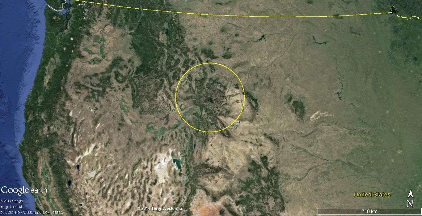
A closer view of the Yellowstone Impact.


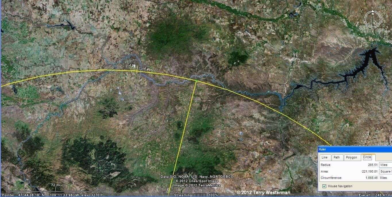


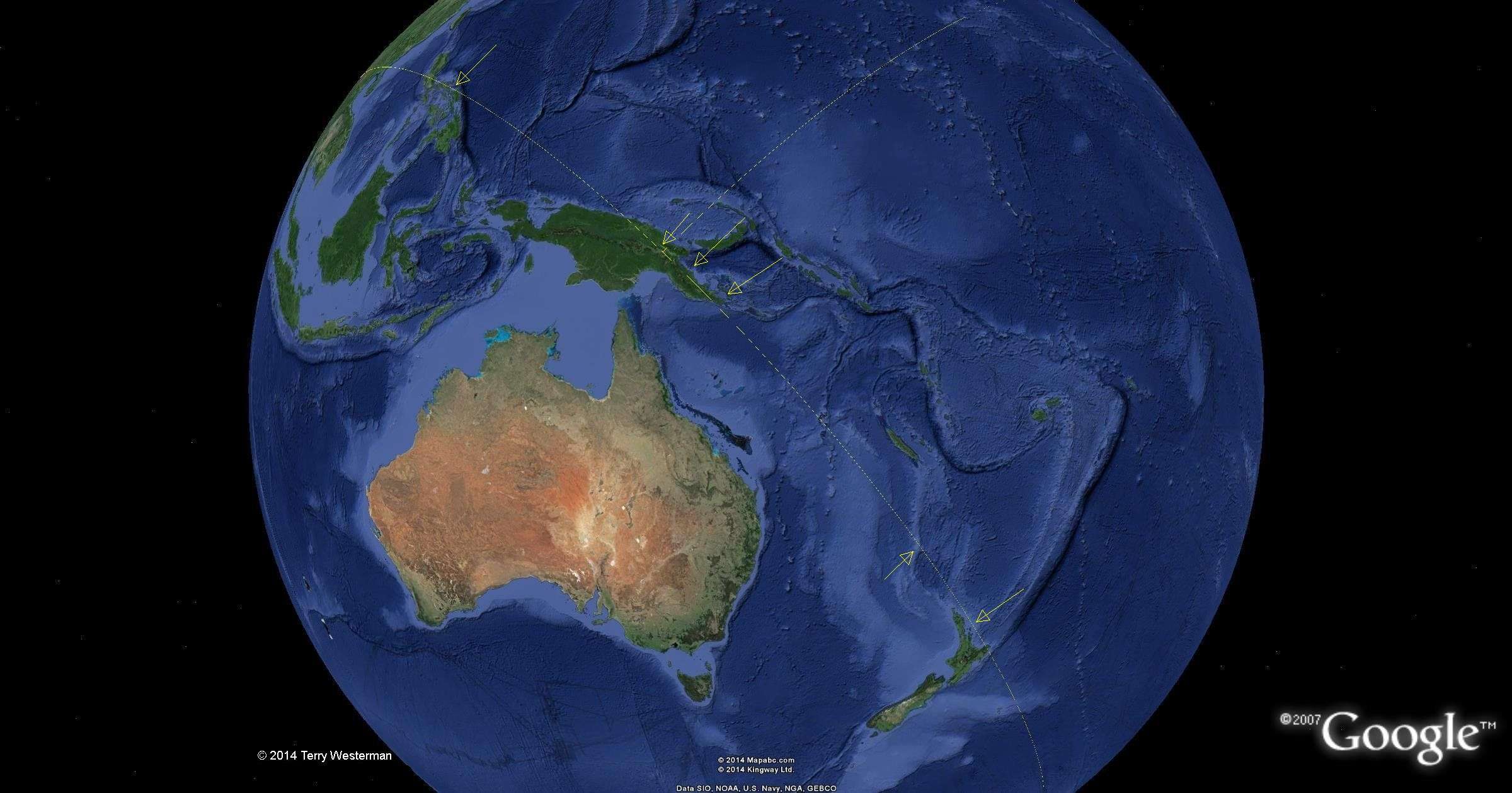
 The Yellowstone 4250 mile radius seismic
circle paralells Loch Ness in Scotland.
The Yellowstone 4250 mile radius seismic
circle paralells Loch Ness in Scotland.